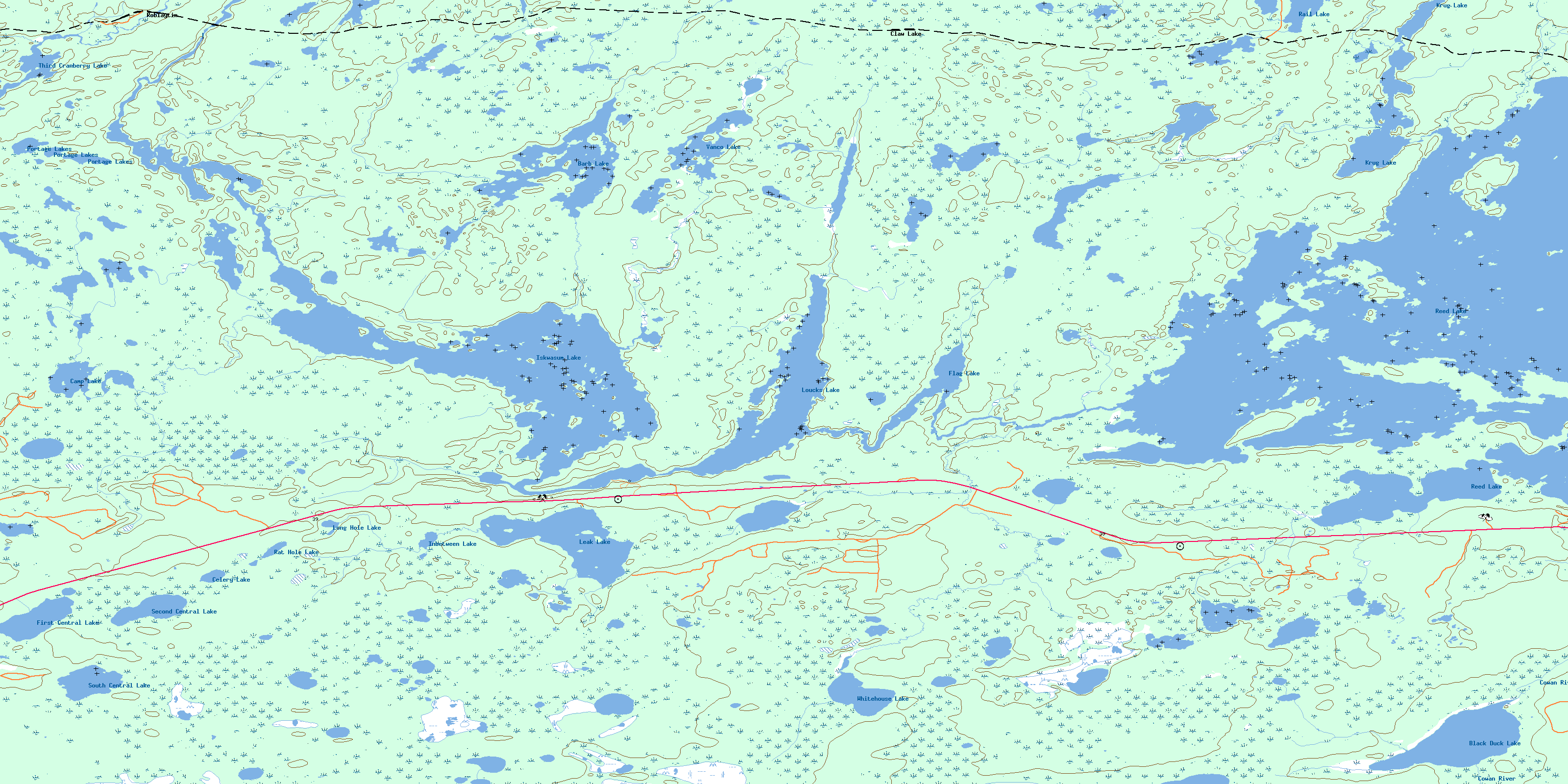
Iskwasum Lake Topo Map Online
Download Free Topo Map Sheet 063K10 at 1:50,000 scale
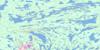
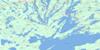
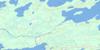
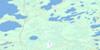
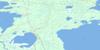
063K10 Iskwasum Lake Topo Map
To view this map, mouse over the map preview on the right.
You can also download this topo map for free:
063K10 Iskwasum Lake high-resolution topo map image.
Maps for the Iskwasum Lake topo map sheet 063K10 at 1:50,000 scale are also available in these versions:
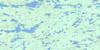
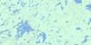
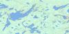
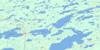
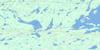
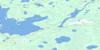
Iskwasum Lake Surrounding Area Topo Maps
 |
 |
 |
 |
 |
 |
 |
 |
 |
 |
 |
 |
 |
 |
 |
 |
© Department of Natural Resources Canada. All rights reserved.
Iskwasum Lake Gazetteer
The following places can be found on topographic map sheet 063K10 Iskwasum Lake:
Iskwasum Lake Topo Map: Bays
Petersons BayIskwasum Lake Topo Map: Capes
Bartlett PointEllicott Point
Radar Point
Iskwasum Lake Topo Map: Islands
Fourmile IslandIskwasum Lake Topo Map: Lakes
Barb LakeBlack Duck Lake
Camp Lake
Celery Lake
First Central Lake
Flag Lake
Hone Lake
Inbetween Lake
Iskwasum Lake
Krug Lake
Leak Lake
Long Hole Lake
Loucks Lake
Portage Lakes
Radar Lake
Rail Lake
Rat Hole Lake
Reed Lake
Second Central Lake
South Central Lake
Third Cranberry Lake
Vanco Lake
Whitehouse Lake
Iskwasum Lake Topo Map: Conservation areas
Grass River Provincial ParkIskwasum Lake Topo Map: Rivers
Barb CreekCowan River
Grass River
Leak Creek
Vanco Creek
Whitehouse Creek
Iskwasum Lake Topo Map: Road features
Four Mile PortageIskwasum Lake Topo Map: Unincorporated areas
Claw LakeDickstone
Roblaytin
© Department of Natural Resources Canada. All rights reserved.
063K Related Maps:
063K Cormorant Lake063K01 Burntwood Bay
063K02 Cormorant
063K03 Root Lake
063K04 Namew Lake
063K05 Goose Lake
063K06 Egg Lake
063K07 Yawningstone Lake
063K08 Dyce Lake
063K09 Tramping Lake
063K10 Iskwasum Lake
063K11 Cranberry Portage
063K12 Schist Lake
063K13 Flin Flon
063K14 Naosap Lake
063K15 Elbow Lake
063K16 File Lake
