Schist Lake Topo Map Online
Download Free Topo Map Sheet 063K12 at 1:50,000 scale
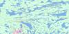
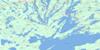
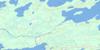
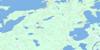
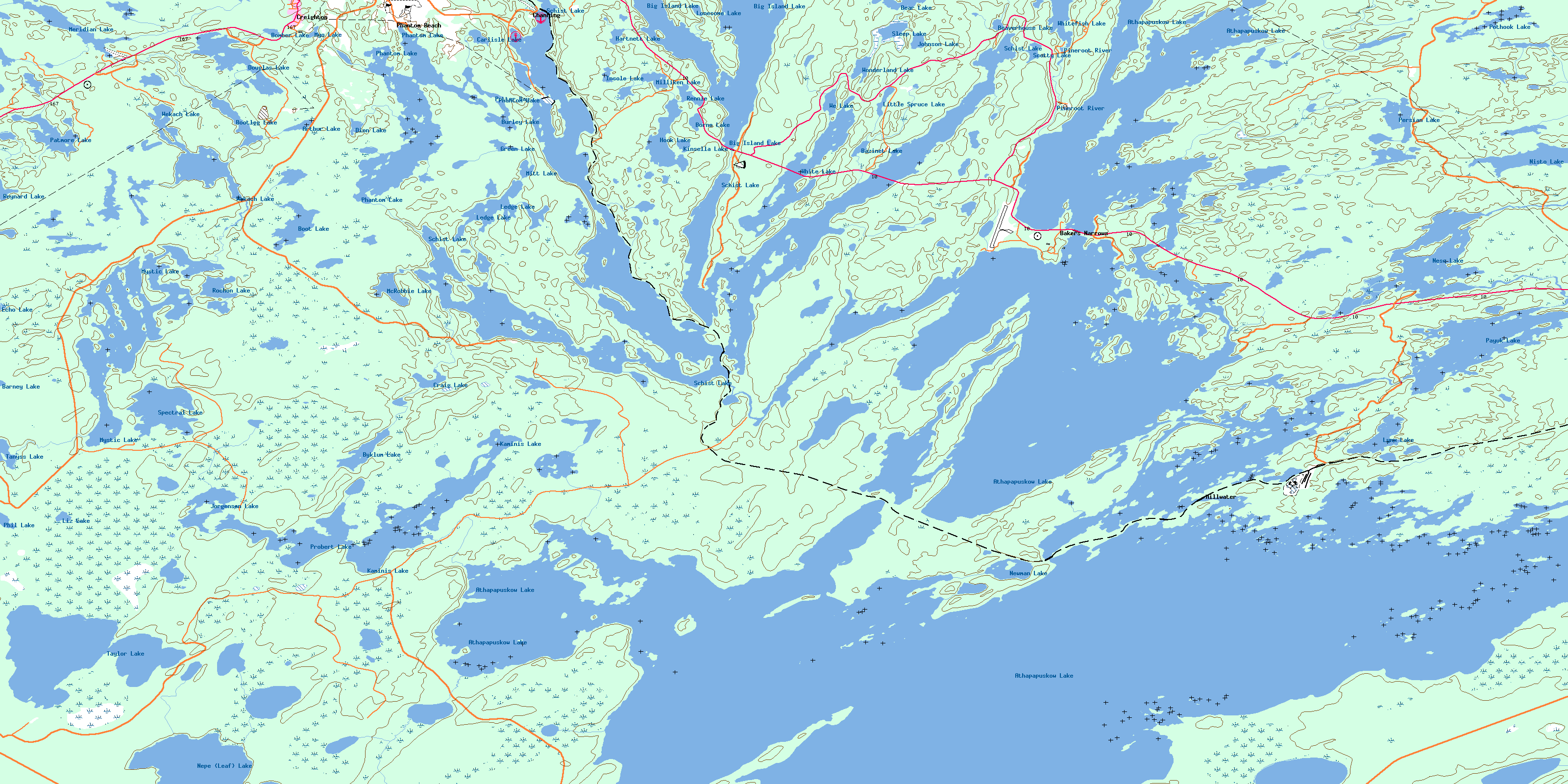
063K12 Schist Lake Topo Map
To view this map, mouse over the map preview on the right.
You can also download this topo map for free:
063K12 Schist Lake high-resolution topo map image.
Maps for the Schist Lake topo map sheet 063K12 at 1:50,000 scale are also available in these versions:
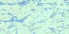
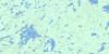
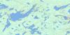
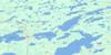
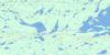
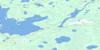
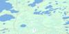
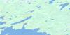
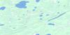
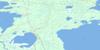
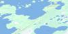
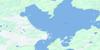
Schist Lake Surrounding Area Topo Maps
 |
 |
 |
 |
 |
 |
 |
 |
 |
 |
 |
 |
 |
 |
 |
 |
© Department of Natural Resources Canada. All rights reserved.
Schist Lake Gazetteer
The following places can be found on topographic map sheet 063K12 Schist Lake:
Schist Lake Topo Map: Bays
Becker BayBrownie Bay
Eight Chain Bay
Green Bay
Hutton Bay
Inlet Arm
Jackfish Bay
McFee Bay
North Arm
Northeast Arm
Northwest Arm
Pickerel Bay
Potter Bay
Quarry Bay
Schieders Bay
Schist Bay
Sharpe Bay
Sourdough Bay
South Bay
Thompson Bay
West Arm
West Arm
West Arm
West Arm
Woodsworth Bay
Wright Bay
Schist Lake Topo Map: Beaches
Athapap BeachBlondy Beach
Limestone Beach
Schist Lake Topo Map: Capes
Corkys PointFishermans Point
Schist Lake Topo Map: Channels
Bakers NarrowsLimestone Narrows
Mink Narrows
Quarry Bay Channel
Tincan Narrows
Schist Lake Topo Map: City
Flin FlonSchist Lake Topo Map: Islands
Big IslandStitt Island
Schist Lake Topo Map: Lakes
Arthur LakeAthapapuskow Lake
Athapapuskow Lake
Barney Lake
Bazinet Lake
Bear Lake
Beaverhouse Lake
Big Island Lake
Bomber Lake
Boot Lake
Bootleg Lake
Borne Lake
Burley Lake
Byklum Lake
Carlisle Lake
Carlisle Lake
Craig Lake
Dion Lake
Douglas Lake
Echo Lake
Green Lake
Hartnett Lake
Hook Lake
Insole Lake
Johnson Lake
Jorgensen Lake
Kaminis Lake
Kaminis Lake
Key Lake
Kinsella Lake
Ledge Lake
Ledge Lake
Little Spruce Lake
Liz Lake
Lonesome Lake
Lynx Lake
Manistikwan Lake
McRobbie Lake
Meridian Lake
Milliken Lake
Mitt Lake
Myo Lake
Mystic Lake
Nepe (Leaf) Lake
Neso Lake
Newman Lake
Nisto Lake
Patmore Lake
Payuk Lake
Persian Lake
Phantom Lake
Phantom Lake
Phil Lake
Pothook Lake
Potter Bay
Probert Lake
Rennie Lake
Reynard Lake
Rochon Lake
Schist Lake
Schist Lake
Scotty Lake
Sleep Lake
Spectral Lake
Tanyss Lake
Taylor Lake
We Lake
Wekach Lake
White Lake
Whitefish Lake
Wonderland Lake
Schist Lake Topo Map: Military areas
Canadian Forces Station Flin FlonStation des Forces canadiennes Flin Flon
Schist Lake Topo Map: Conservation areas
Bakers Narrows Provincial ParkBakers Narrows Provincial Recreation Park
Billy Boy Provincial Recreation Park
Neso Lake Provincial Park
Schist Lake Topo Map: Provinces
ManitobaSaskatchewan
Schist Lake Topo Map: Rivers
Big Island CreekMeridian Creek
Mistik Creek
Pineroot River
Ross Creek
Schist Creek
Schist Lake Topo Map: Road features
Athapap RoadSchist Lake Topo Map: Towns
CreightonSchist Lake Topo Map: Unincorporated areas
AthapapBakers Narrows
Big Island Lake
Camp Whitney
Channing
Millwater
Payuk
Phantom Beach
Schist Lake
Schist Lake
© Department of Natural Resources Canada. All rights reserved.
063K Related Maps:
063K Cormorant Lake063K01 Burntwood Bay
063K02 Cormorant
063K03 Root Lake
063K04 Namew Lake
063K05 Goose Lake
063K06 Egg Lake
063K07 Yawningstone Lake
063K08 Dyce Lake
063K09 Tramping Lake
063K10 Iskwasum Lake
063K11 Cranberry Portage
063K12 Schist Lake
063K13 Flin Flon
063K14 Naosap Lake
063K15 Elbow Lake
063K16 File Lake
