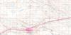
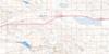
Mortlach Topo Map Online
Download Free Topo Map Sheet 072J08 at 1:50,000 scale
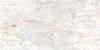
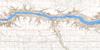
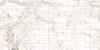
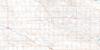
072J08 Mortlach Topo Map
To view this map, mouse over the map preview on the right.
You can also download this topo map for free:
072J08 Mortlach high-resolution topo map image.
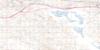
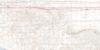
Maps for the Mortlach topo map sheet 072J08 at 1:50,000 scale are also available in these versions:
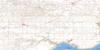
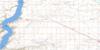
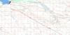
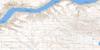
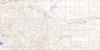
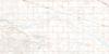
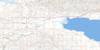
Mortlach Surrounding Area Topo Maps
 |
 |
 |
 |
 |
 |
 |
 |
 |
 |
 |
 |
 |
 |
 |
 |
© Department of Natural Resources Canada. All rights reserved.
Mortlach Gazetteer
The following places can be found on topographic map sheet 072J08 Mortlach:
Mortlach Topo Map: Cliffs
The Missouri CoteauMortlach Topo Map: Other municipal/district area - miscellaneous
Caron No. 162Chaplin No. 164
Hillsborough No. 132
Rodgers No. 133
Shamrock No. 134
Wheatlands No. 163
Mortlach Topo Map: Conservation areas
Secretan (Derringer-May) Provincial Recreation SiteSecretan Recreation Site
Mortlach Topo Map: Rivers
Sandy CreekMortlach Topo Map: Unincorporated areas
EastleighMelba
Parkbeg
Secretan
Mortlach Topo Map: Villages
Mortlach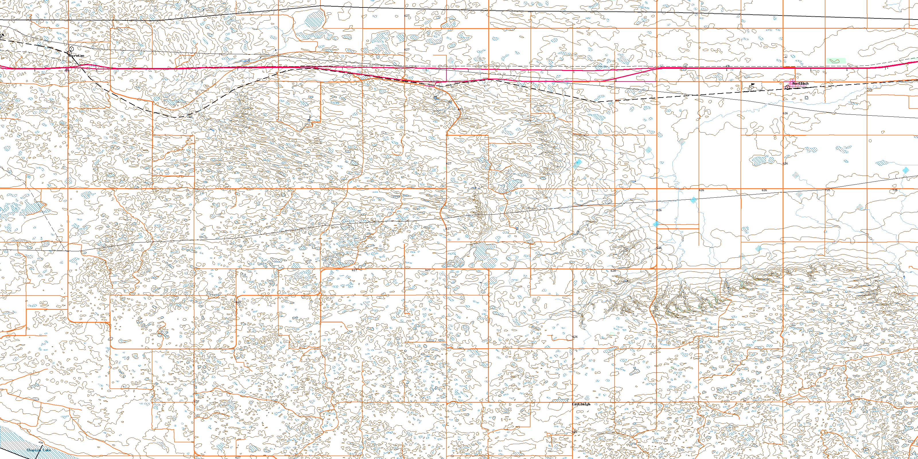
© Department of Natural Resources Canada. All rights reserved.
