Stewart Valley Topo Map Online
Download Free Topo Map Sheet 072J12 at 1:50,000 scale
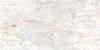
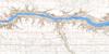
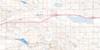
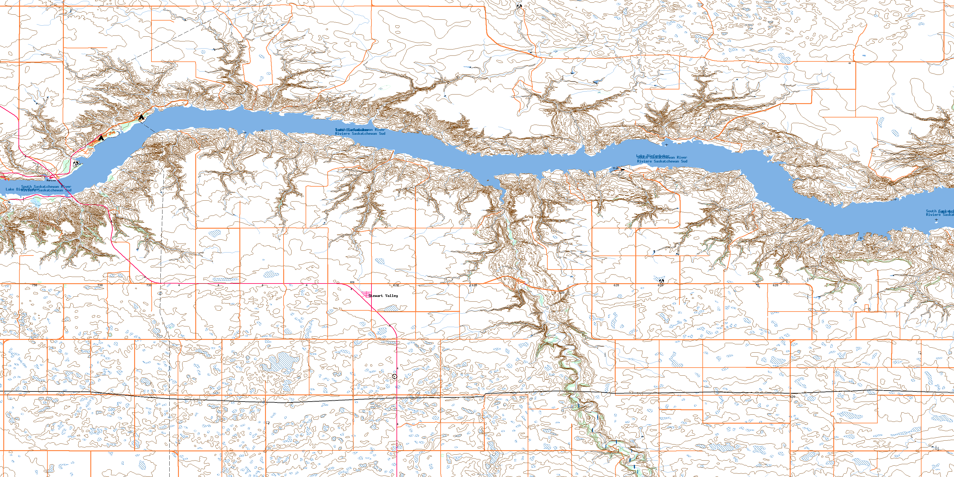
072J12 Stewart Valley Topo Map
To view this map, mouse over the map preview on the right.
You can also download this topo map for free:
072J12 Stewart Valley high-resolution topo map image.
Maps for the Stewart Valley topo map sheet 072J12 at 1:50,000 scale are also available in these versions:
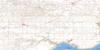
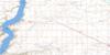
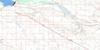
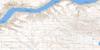
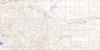
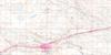
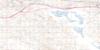
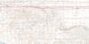
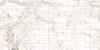
Stewart Valley Surrounding Area Topo Maps
 |
 |
 |
 |
 |
 |
 |
 |
 |
 |
 |
 |
 |
 |
 |
 |
© Department of Natural Resources Canada. All rights reserved.
Stewart Valley Gazetteer
The following places can be found on topographic map sheet 072J12 Stewart Valley:
Stewart Valley Topo Map: Bays
Landing BayOmache Bay
Russel Bay
Russell Bay
Swift Current Bay
Stewart Valley Topo Map: Capes
Rebman PointStewart Valley Topo Map: Cliffs
Coteau (The)The Coteau
The Missouri Coteau
Stewart Valley Topo Map: Lakes
Lake DiefenbakerStewart Valley Topo Map: Mountains
Gray LookoutNollet Lookout
Stewart Valley Topo Map: Other municipal/district area - miscellaneous
Excelsior No. 166Lacadena No. 228
Saskatchewan Landing No. 167
Victory No. 226
Stewart Valley Topo Map: Conservation areas
Matador Grasslands Protected AreaSaskatchewan Landing Provincial Park
Stewart Valley Topo Map: Rivers
Gracie CreekJuniper Creek
Landing Creek
Matador Creek
Perrin Creek
Rivière Saskatchewan Sud
Russel Creek
Russell Creek
Smith Creek
South Saskatchewan River
Swift Current Creek
Swiftcurrent Creek
Valentine Creek
Yates Creek
Stewart Valley Topo Map: River features
Bearpaw BendStewart Valley Topo Map: Unincorporated areas
GundersonSaskatchewan Landing
Stewart Valley Topo Map: Valleys
Brunyee CouleeStewart Valley Topo Map: Villages
Beaver FlatStewart Valley
© Department of Natural Resources Canada. All rights reserved.
