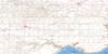
Main Centre Topo Map Online
Download Free Topo Map Sheet 072J11 at 1:50,000 scale
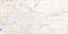
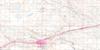
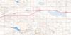
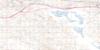
072J11 Main Centre Topo Map
To view this map, mouse over the map preview on the right.
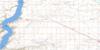
You can also download this topo map for free:
072J11 Main Centre high-resolution topo map image.
Maps for the Main Centre topo map sheet 072J11 at 1:50,000 scale are also available in these versions:
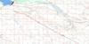
Main Centre Surrounding Area Topo Maps
 |
 |
 |
 |
 |
 |
 |
 |
 |
 |
 |
 |
 |
 |
 |
 |
© Department of Natural Resources Canada. All rights reserved.
Main Centre Gazetteer
The following places can be found on topographic map sheet 072J11 Main Centre:
Main Centre Topo Map: Bays
Blackfeet BayBlakiston Bay
Cree Bay
Cruikshank Bay
Jahnke Bay
Massacre Bay
Munro Bay
Red Ochre Bay
Sullivan Bay
Taggart Bay
Main Centre Topo Map: Cliffs
Coteau (The)The Coteau
The Missouri Coteau
Main Centre Topo Map: Hamlets
Main CentreMain Centre Topo Map: Lakes
Alkali LakesCutbank Lake
Dewey Lake
Handsome Lake
Lake Diefenbaker
Prairie View Lake
Salt Lake
Twin Lake
Main Centre Topo Map: Mountains
Bell ButteMain Centre Topo Map: Other municipal/district area - miscellaneous
Canaan No. 225Excel No. 71
Excelsior No. 166
Morse No. 165
Vermilion Hills No. 195
Victory No. 226
Main Centre Topo Map: Conservation areas
Herbert Ferry Regional ParkPrairie Lake Regional Park
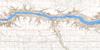
Main Centre Topo Map: Rivers
Blackfeet CreekCree Creek
Cruikshank Creek
Munro Creek
Richardson Creek
Rivière Saskatchewan Sud
South Saskatchewan River
Taggart Creek
Main Centre Topo Map: Unincorporated areas
CruikshankGlen Kerr
Gouldtown
Log Valley
Old Main Centre
Prairie View
Teakle
Main Centre Topo Map: Valleys
Martens Coulee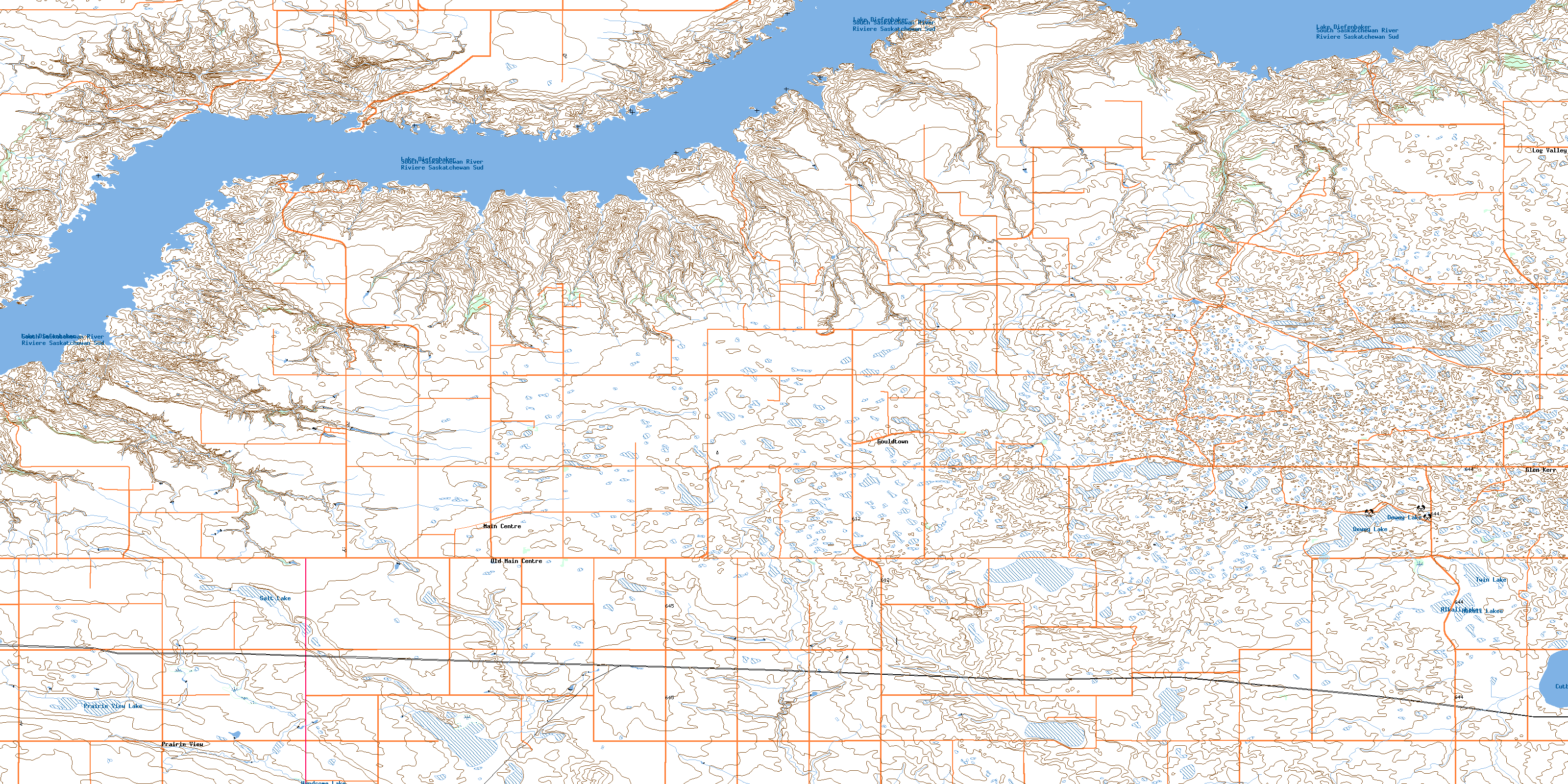
© Department of Natural Resources Canada. All rights reserved.
