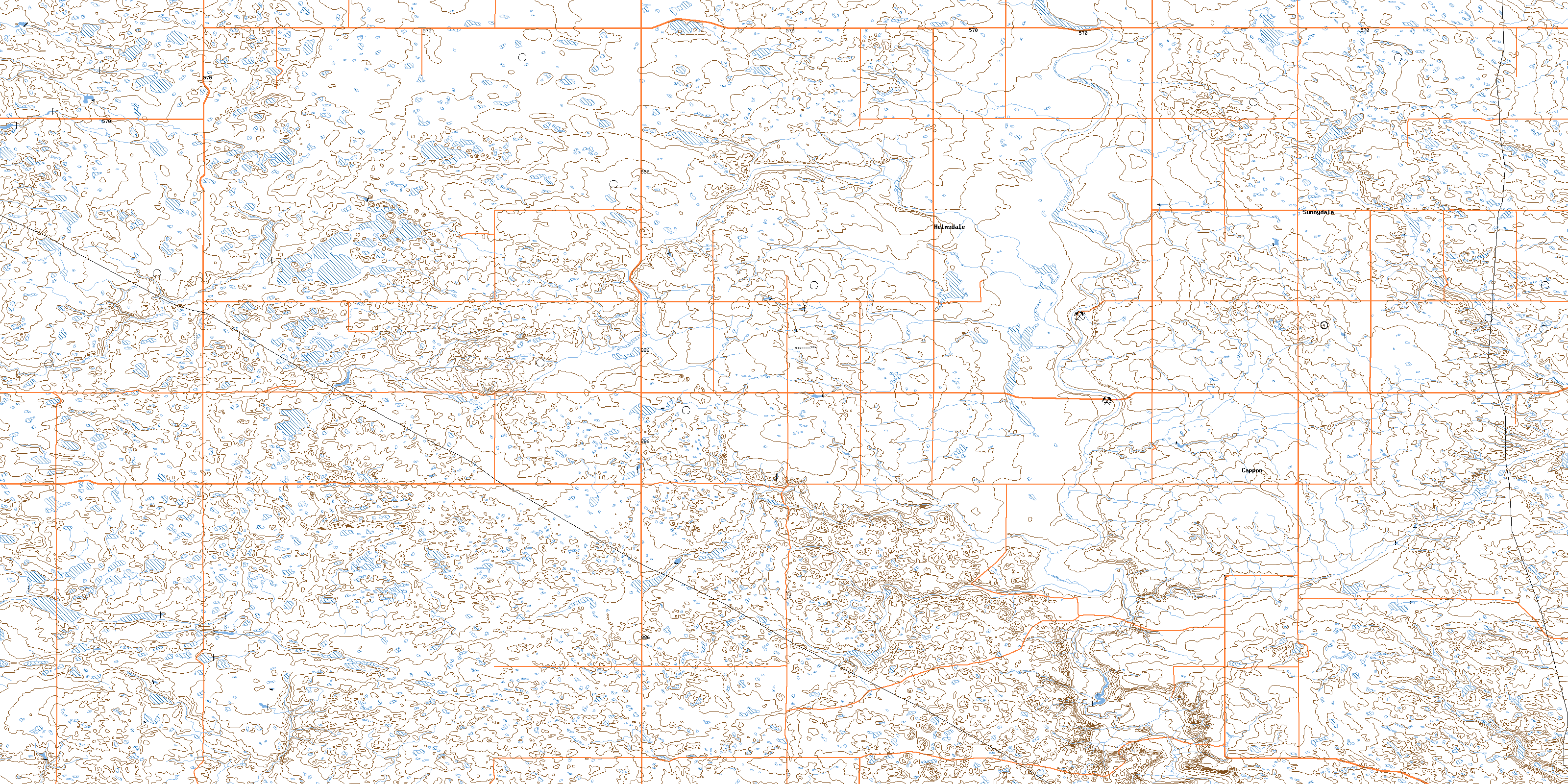
Cappon Topo Map Online
Download Free Topo Map Sheet 072M02 at 1:50,000 scale
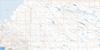
072M02 Cappon Topo Map
To view this map, mouse over the map preview on the right.
You can also download this topo map for free:
072M02 Cappon high-resolution topo map image.
Maps for the Cappon topo map sheet 072M02 at 1:50,000 scale are also available in these versions:
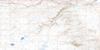
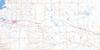
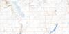
Cappon Surrounding Area Topo Maps
 |
 |
 |
 |
 |
 |
 |
 |
 |
 |
 |
 |
 |
 |
 |
 |
© Department of Natural Resources Canada. All rights reserved.
Cappon Gazetteer
The following places can be found on topographic map sheet 072M02 Cappon:
Cappon Topo Map: Mountains
Buffalo Bird HillCappon Topo Map: Other municipal/district area - miscellaneous
Special Area No. 3Cappon Topo Map: Rivers
Alkali CreekCappon Topo Map: Unincorporated areas
CapponChilmark
Helmsdale
Rearville
Sunnydale
© Department of Natural Resources Canada. All rights reserved.
