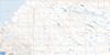
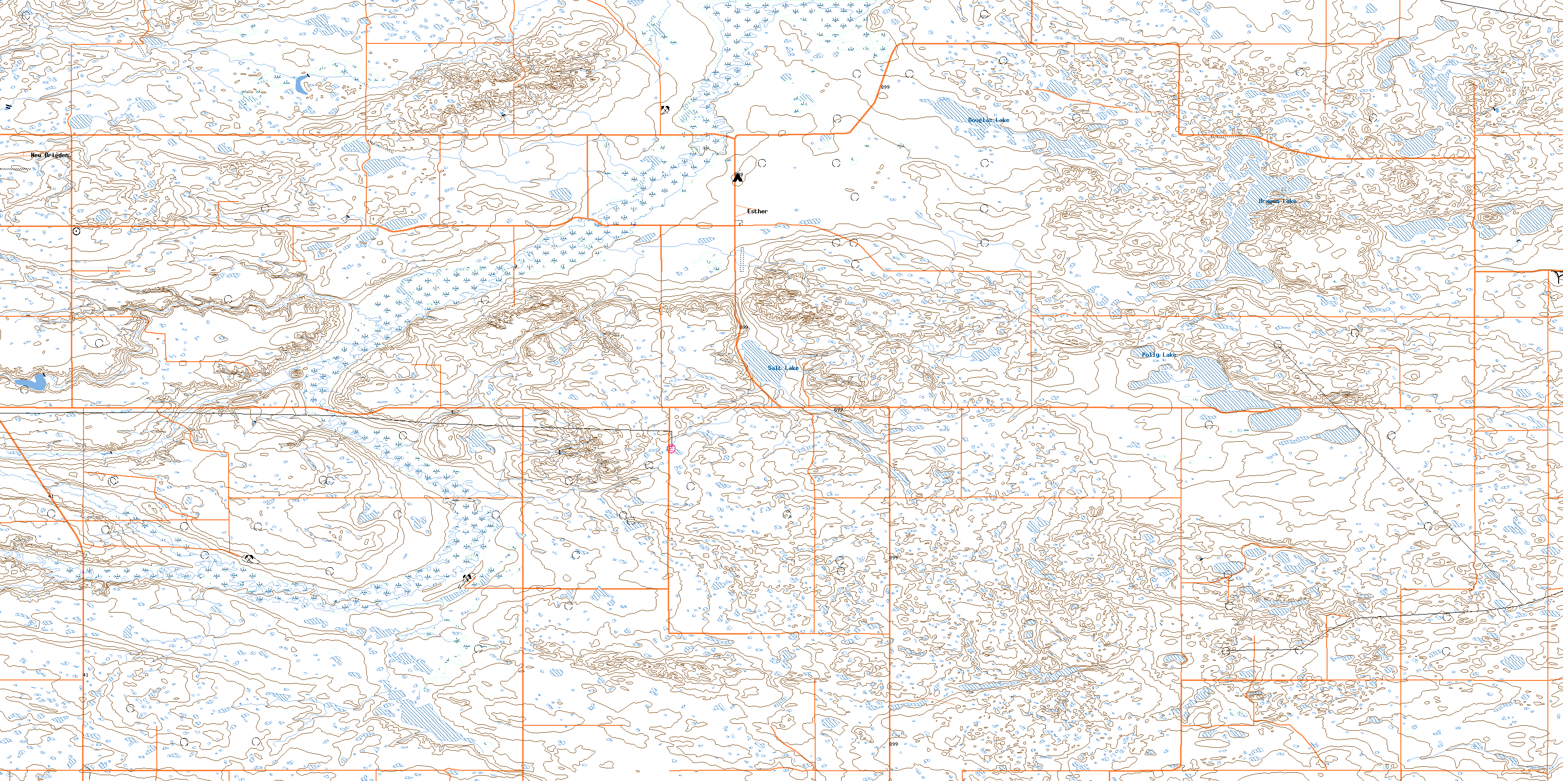
Esther Topo Map Online
Download Free Topo Map Sheet 072M09 at 1:50,000 scale
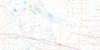
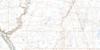
072M09 Esther Topo Map
To view this map, mouse over the map preview on the right.
You can also download this topo map for free:
072M09 Esther high-resolution topo map image.
Maps for the Esther topo map sheet 072M09 at 1:50,000 scale are also available in these versions:
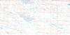
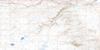
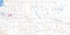
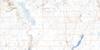
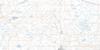
Esther Surrounding Area Topo Maps
 |
 |
 |
 |
 |
 |
 |
 |
 |
 |
 |
 |
 |
 |
 |
 |
© Department of Natural Resources Canada. All rights reserved.
Esther Gazetteer
The following places can be found on topographic map sheet 072M09 Esther:
Esther Topo Map: Hamlets
LovernaEsther Topo Map: Lakes
Douglas LakeDragon Lake
Polly Lake
Salt Lake
Esther Topo Map: Mountains
Starvation ButteEsther Topo Map: Other municipal/district area - miscellaneous
Antelope Park No. 322Milton No. 292
Special Area No. 3
Special Area No. 4
Esther Topo Map: Rivers
Sounding CreekEsther Topo Map: Unincorporated areas
AnatoleCalthorpe
Esther
New Brigden
© Department of Natural Resources Canada. All rights reserved.
