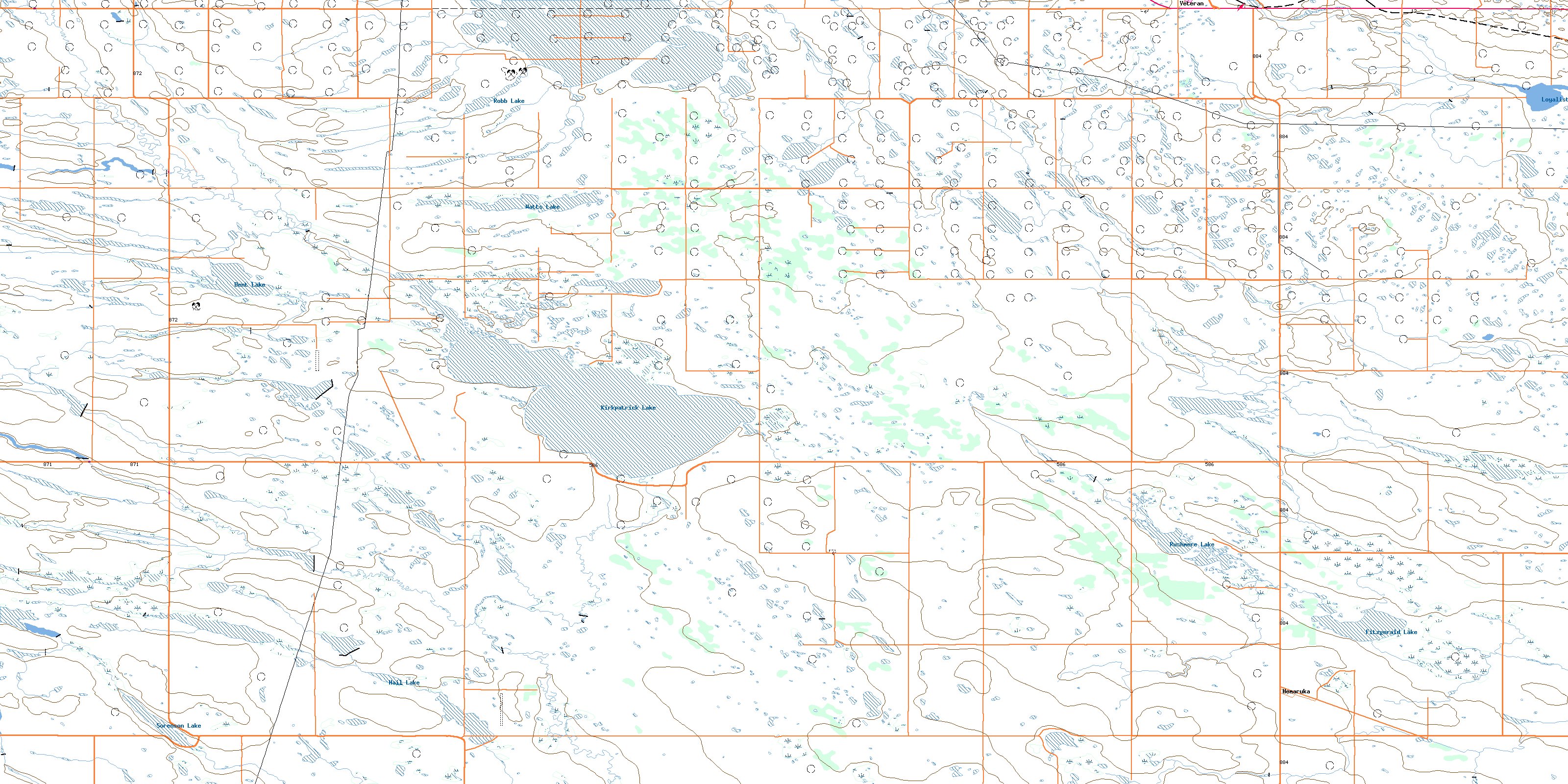
Kirkpatrick Lake Topo Map Online
Download Free Topo Map Sheet 072M14 at 1:50,000 scale
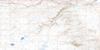
072M14 Kirkpatrick Lake Topo Map
To view this map, mouse over the map preview on the right.
You can also download this topo map for free:
072M14 Kirkpatrick Lake high-resolution topo map image.
Maps for the Kirkpatrick Lake topo map sheet 072M14 at 1:50,000 scale are also available in these versions:
Kirkpatrick Lake Surrounding Area Topo Maps
 |
 |
 |
 |
 |
 |
 |
 |
 |
 |
 |
 |
 |
 |
 |
 |
© Department of Natural Resources Canada. All rights reserved.
Kirkpatrick Lake Gazetteer
The following places can be found on topographic map sheet 072M14 Kirkpatrick Lake:
Kirkpatrick Lake Topo Map: Lakes
Dent LakeFitzgerald Lake
Hail Lake
Hamilton Lake
Kirkpatrick Lake
Loyalist Creek Reservoir
Robb Lake
Rushmere Lake
Sorenson Lake
Watts Lake
Kirkpatrick Lake Topo Map: Major municipal/district area - major agglomerations
County of Paintearth No. 18Kirkpatrick Lake Topo Map: Other municipal/district area - miscellaneous
Special Area No. 2Special Area No. 4
Kirkpatrick Lake Topo Map: Conservation areas
Coronation Boundary Marker Provincial Historic Site (Undeveloped)Kirkpatrick Lake Topo Map: Rivers
Loyalist CreekSounding Creek
Kirkpatrick Lake Topo Map: Unincorporated areas
EnsleighFenner
Hemaruka
Hiram
Sounding Creek
Watt Lake
West Wingham
Whatcheer
Zetland
© Department of Natural Resources Canada. All rights reserved.
