Hughton Topo Map Online
Download Free Topo Map Sheet 072O04 at 1:50,000 scale
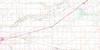
072O04 Hughton Topo Map
To view this map, mouse over the map preview on the right.
You can also download this topo map for free:
072O04 Hughton high-resolution topo map image.
Maps for the Hughton topo map sheet 072O04 at 1:50,000 scale are also available in these versions:
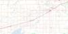
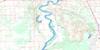
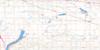
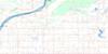
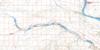
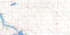
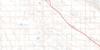
Hughton Surrounding Area Topo Maps
 |
 |
 |
 |
 |
 |
 |
 |
 |
 |
 |
 |
 |
 |
 |
 |
© Department of Natural Resources Canada. All rights reserved.
Hughton Gazetteer
The following places can be found on topographic map sheet 072O04 Hughton:
Hughton Topo Map: Cliffs
Coteau (The)The Coteau
Hughton Topo Map: Mountains
Ben ButteHughton Topo Map: Other municipal/district area - miscellaneous
King George No. 256Lacadena No. 228
Monet No. 257
Victory No. 226
Hughton Topo Map: Springs
Hughton SpringMonet Spring
Wooden Spring
Hughton Topo Map: Unincorporated areas
HughtonHughton Topo Map: Low vegetation
Forgan Flats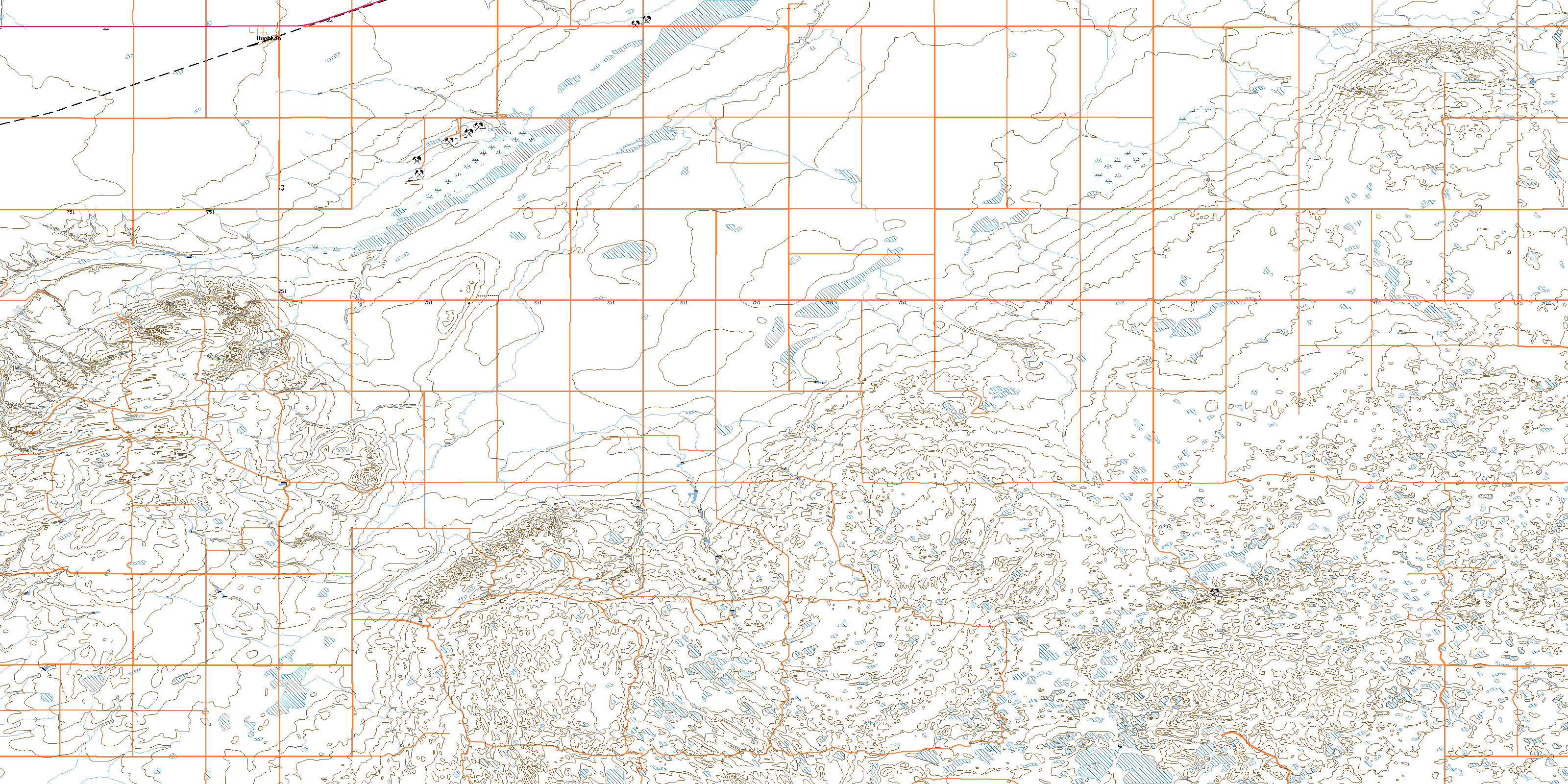
© Department of Natural Resources Canada. All rights reserved.
