Bladworth Topo Map Online
Download Free Topo Map Sheet 072O08 at 1:50,000 scale
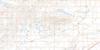
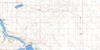
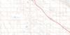
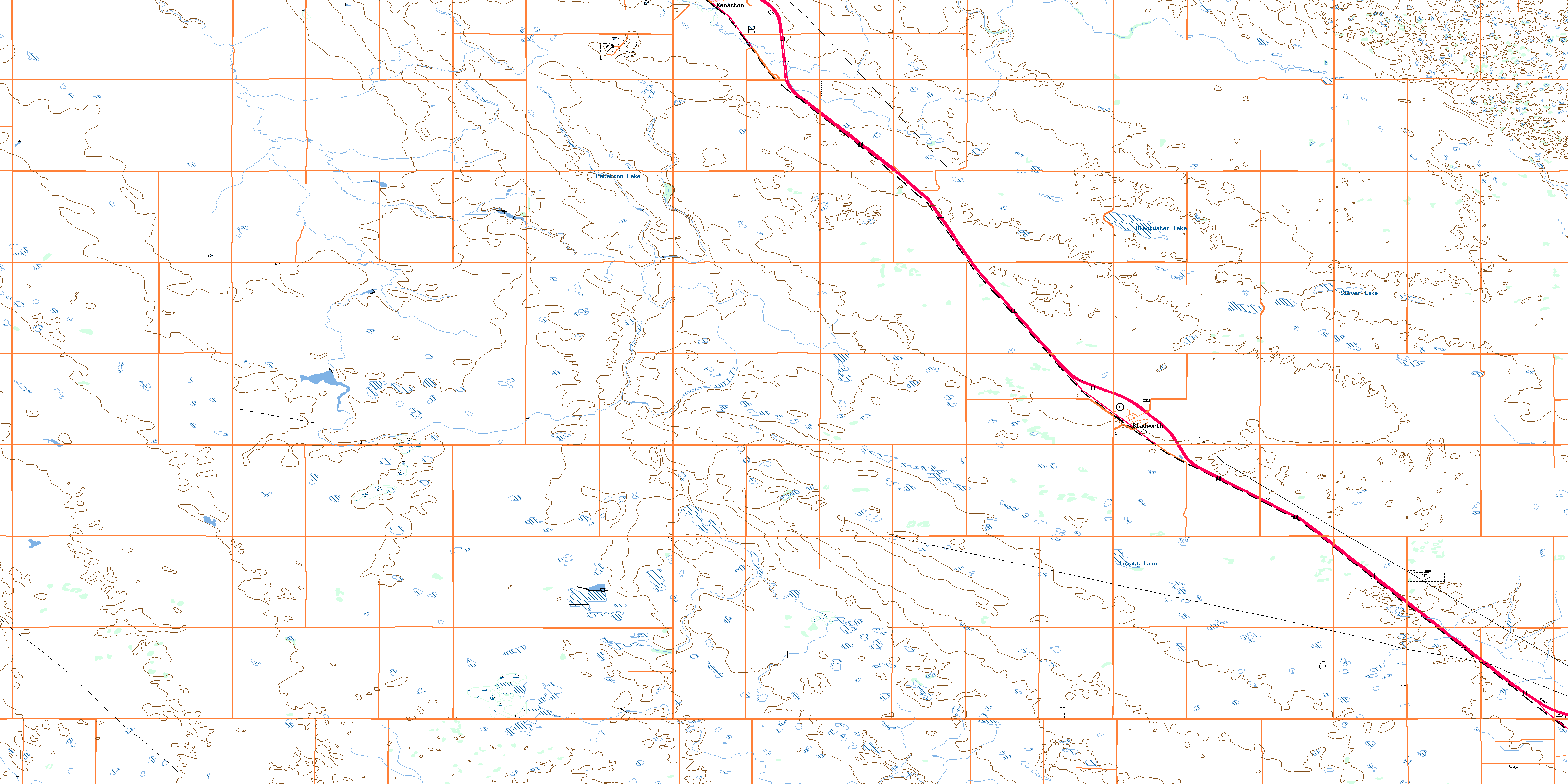
072O08 Bladworth Topo Map
To view this map, mouse over the map preview on the right.
You can also download this topo map for free:
072O08 Bladworth high-resolution topo map image.
Maps for the Bladworth topo map sheet 072O08 at 1:50,000 scale are also available in these versions:
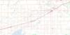
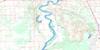
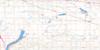
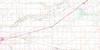
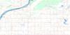
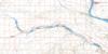
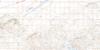
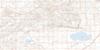
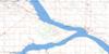
Bladworth Surrounding Area Topo Maps
 |
 |
 |
 |
 |
 |
 |
 |
 |
 |
 |
 |
 |
 |
 |
 |
© Department of Natural Resources Canada. All rights reserved.
Bladworth Gazetteer
The following places can be found on topographic map sheet 072O08 Bladworth:
Bladworth Topo Map: Lakes
Blackwater LakeLovatt Lake
Peterson Lake
Silver Lake
Bladworth Topo Map: Other municipal/district area - miscellaneous
Arm River No. 252Loreburn No. 254
McCraney No. 282
Rosedale No. 283
Willner No. 253
Bladworth Topo Map: Conservation areas
Kenaston Recreation SiteBladworth Topo Map: Rivers
Brightwater CreekBladworth Topo Map: Towns
DavidsonBladworth Topo Map: Unincorporated areas
SmalesBladworth Topo Map: Villages
BladworthKenaston
© Department of Natural Resources Canada. All rights reserved.
