Tullis Topo Map Online
Download Free Topo Map Sheet 072O03 at 1:50,000 scale
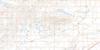
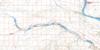
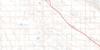
072O03 Tullis Topo Map
To view this map, mouse over the map preview on the right.
You can also download this topo map for free:
072O03 Tullis high-resolution topo map image.
Maps for the Tullis topo map sheet 072O03 at 1:50,000 scale are also available in these versions:
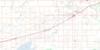
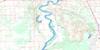
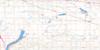
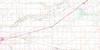
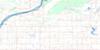
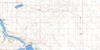
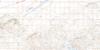
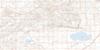
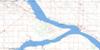
Tullis Surrounding Area Topo Maps
 |
 |
 |
 |
 |
 |
 |
 |
 |
 |
 |
 |
 |
 |
 |
 |
© Department of Natural Resources Canada. All rights reserved.
Tullis Gazetteer
The following places can be found on topographic map sheet 072O03 Tullis:
Tullis Topo Map: Cliffs
Coteau (The)The Coteau
Tullis Topo Map: Lakes
Luck LakeMarion Lake
Stink Lake
Tullis Topo Map: Mountains
Archer RidgeDougan Ridge
Tullis Topo Map: Other municipal/district area - miscellaneous
Canaan No. 225Coteau No. 255
King George No. 256
Victory No. 226
Tullis Topo Map: Rivers
Coteau CreekTullis Topo Map: Springs
Tullis SpringTullis Topo Map: Unincorporated areas
SteeledaleTullis
Tullis Topo Map: Valleys
Bone Coulee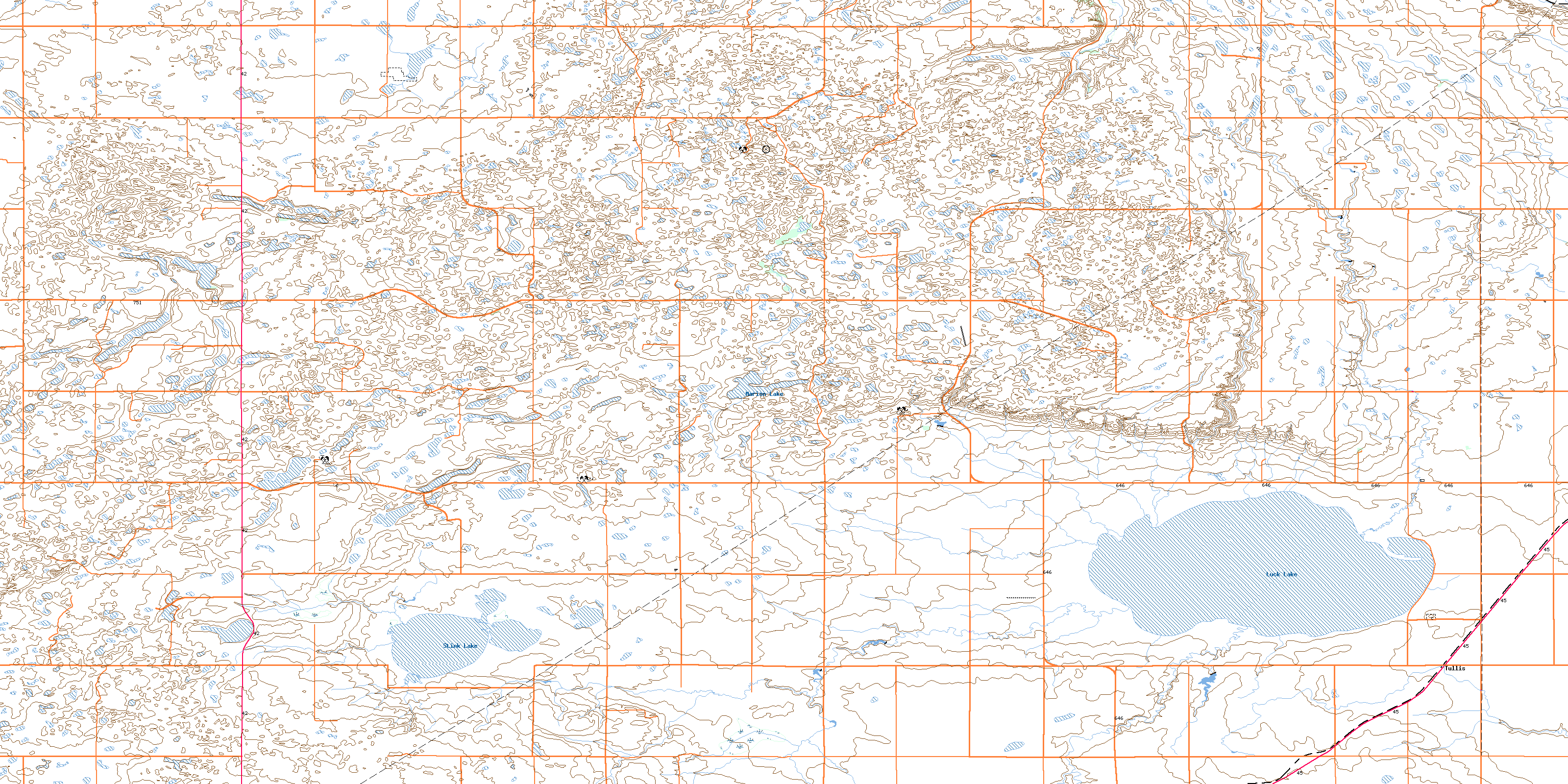
© Department of Natural Resources Canada. All rights reserved.
