Craik Topo Map Online
Download Free Topo Map Sheet 072P04 at 1:50,000 scale
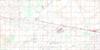
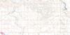
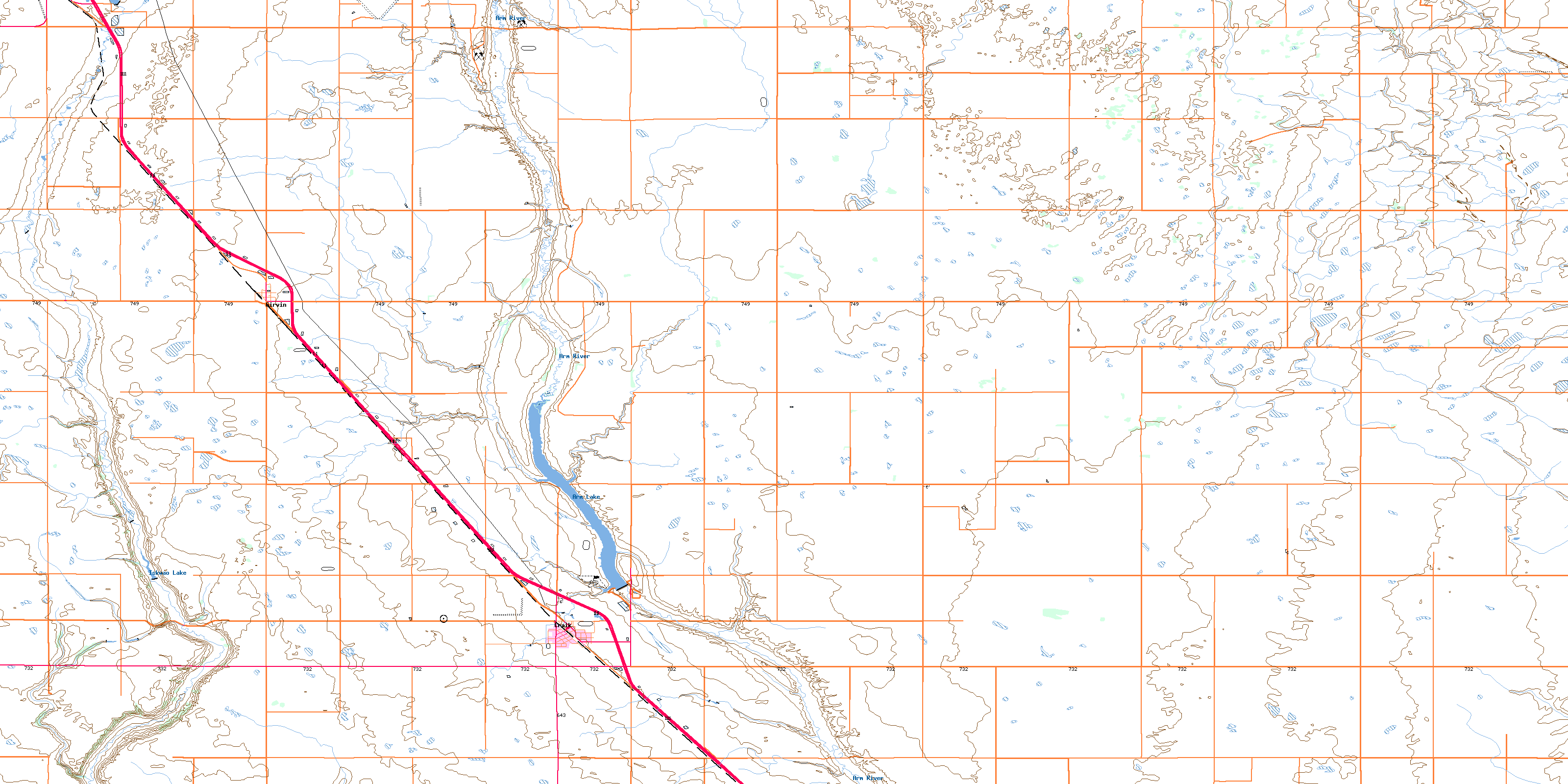
072P04 Craik Topo Map
To view this map, mouse over the map preview on the right.
You can also download this topo map for free:
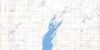
072P04 Craik high-resolution topo map image.
Maps for the Craik topo map sheet 072P04 at 1:50,000 scale are also available in these versions:
Craik Surrounding Area Topo Maps
 |
 |
 |
 |
 |
 |
 |
 |
 |
 |
 |
 |
 |
 |
 |
 |
© Department of Natural Resources Canada. All rights reserved.
Craik Gazetteer
The following places can be found on topographic map sheet 072P04 Craik:
Craik Topo Map: Hamlets
GirvinCraik Topo Map: Lakes
Arm LakeIskwao Lake
Craik Topo Map: Other municipal/district area - miscellaneous
Arm River No. 252Big Arm No. 251
Craik No. 222
Sarnia No. 221
Craik Topo Map: Conservation areas
Craik and District Regional ParkCraik Regional Park
Craik Topo Map: Rivers
Arm RiverIskwao Creek
Craik Topo Map: Towns
CraikDavidson
© Department of Natural Resources Canada. All rights reserved.
