Imperial Topo Map Online
Download Free Topo Map Sheet 072P06 at 1:50,000 scale
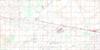
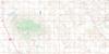
072P06 Imperial Topo Map
To view this map, mouse over the map preview on the right.
You can also download this topo map for free:
072P06 Imperial high-resolution topo map image.
Maps for the Imperial topo map sheet 072P06 at 1:50,000 scale are also available in these versions:
Imperial Surrounding Area Topo Maps
 |
 |
 |
 |
 |
 |
 |
 |
 |
 |
 |
 |
 |
 |
 |
 |
© Department of Natural Resources Canada. All rights reserved.
Imperial Gazetteer
The following places can be found on topographic map sheet 072P06 Imperial:
Imperial Topo Map: Hamlets
Arlington BeachImperial Topo Map: Islands
Bird IslandConey Island
Royal Island
Imperial Topo Map: Lakes
Bulrush LakeColt Lake
Last Mountain Lake
Imperial Topo Map: Other municipal/district area - miscellaneous
Big Arm No. 251Last Mountain Valley No. 250
Wood Creek No. 281
Wreford No. 280
Imperial Topo Map: Conservation areas
Last Mountain Lake Bird SanctuaryLast Mountain Lake National Wildlife Area
Last Mountain Lake Wildlife Management Unit
Last Mountain Regional Park
Refuge d'oiseaux de la Dernière-Montagne
Refuge d'oiseaux du lac de la Dernière-Montagne
Réserve nationale de faune de Stalwart
Réserve nationale de faune du Lac-Last-Mountain
Stalwart National Wildlife Area
Imperial Topo Map: Rivers
Lanigan CreekLewis Creek
Saline Creek
Imperial Topo Map: Towns
GovanImperial
Imperial Topo Map: Unincorporated areas
HatfieldImperial Beach
Watertown
Imperial Topo Map: Villages
Simpson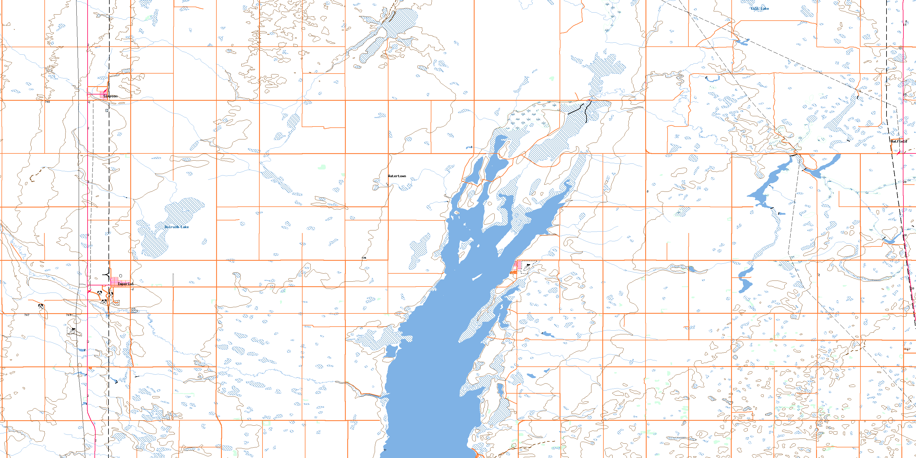
© Department of Natural Resources Canada. All rights reserved.
