Semans Topo Map Online
Download Free Topo Map Sheet 072P07 at 1:50,000 scale
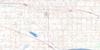
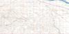
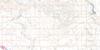
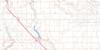
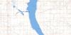
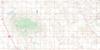
072P07 Semans Topo Map
To view this map, mouse over the map preview on the right.
You can also download this topo map for free:
072P07 Semans high-resolution topo map image.
Maps for the Semans topo map sheet 072P07 at 1:50,000 scale are also available in these versions:
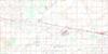
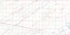
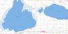
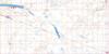
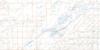
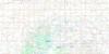
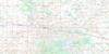
Semans Surrounding Area Topo Maps
 |
 |
 |
 |
 |
 |
 |
 |
 |
 |
 |
 |
 |
 |
 |
 |
© Department of Natural Resources Canada. All rights reserved.
Semans Gazetteer
The following places can be found on topographic map sheet 072P07 Semans:
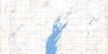
Semans Topo Map: Lakes
Grassy LakeMcCulloch Lake
Peter Lake
Semans Topo Map: Other municipal/district area - miscellaneous
Kutawa No. 278Last Mountain Valley No. 250
Mount Hope No. 279
Touchwood No. 248
Wreford No. 280
Semans Topo Map: Conservation areas
Raymore Recreation SiteSemans Topo Map: Plains
Touchwood UplandsSemans Topo Map: Rivers
Saline CreekWest Loon Creek
Semans Topo Map: Towns
GovanRaymore
Semans Topo Map: Unincorporated areas
BoothTate
Semans Topo Map: Villages
Semans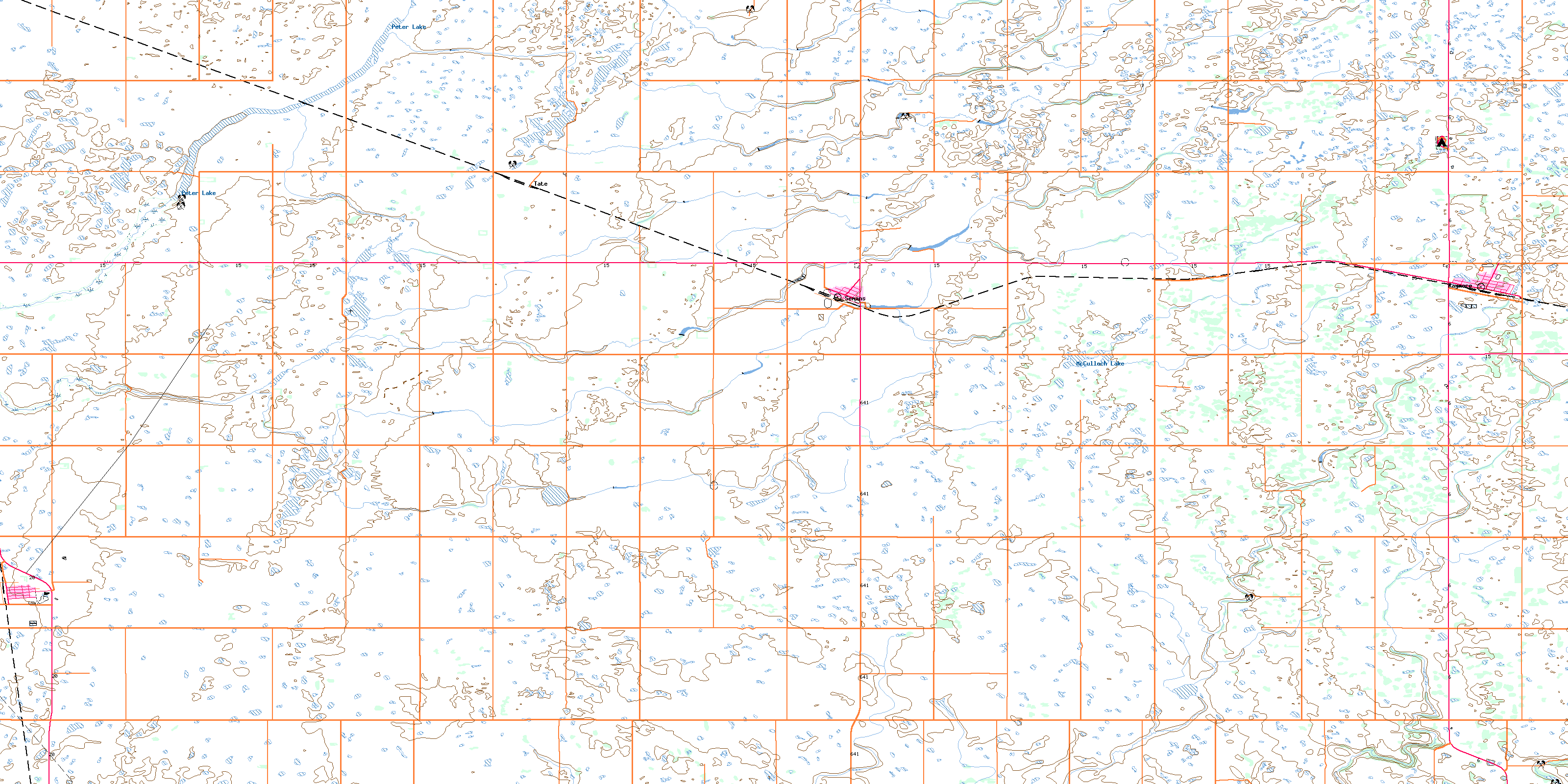
© Department of Natural Resources Canada. All rights reserved.
