Luseland Topo Map Online
Download Free Topo Map Sheet 073C03 at 1:50,000 scale
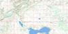
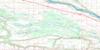
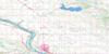
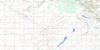
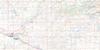
073C03 Luseland Topo Map
To view this map, mouse over the map preview on the right.
You can also download this topo map for free:
073C03 Luseland high-resolution topo map image.
Maps for the Luseland topo map sheet 073C03 at 1:50,000 scale are also available in these versions:
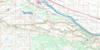
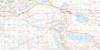
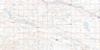
Luseland Surrounding Area Topo Maps
 |
 |
 |
 |
 |
 |
 |
 |
 |
 |
 |
 |
 |
 |
 |
 |
© Department of Natural Resources Canada. All rights reserved.
Luseland Gazetteer
The following places can be found on topographic map sheet 073C03 Luseland:
Luseland Topo Map: Lakes
Grass LakeGrill Lake
Shallow Lake
Luseland Topo Map: Other municipal/district area - miscellaneous
Grass Lake No. 381Mariposa No. 350
Progress No. 351
Tramping Lake No. 380
Luseland Topo Map: Rivers
Grass Lake CreekLuseland Topo Map: Towns
LuselandLuseland Topo Map: Unincorporated areas
BaliolDonegal
Luseland Topo Map: Valleys
Sparling's Coulee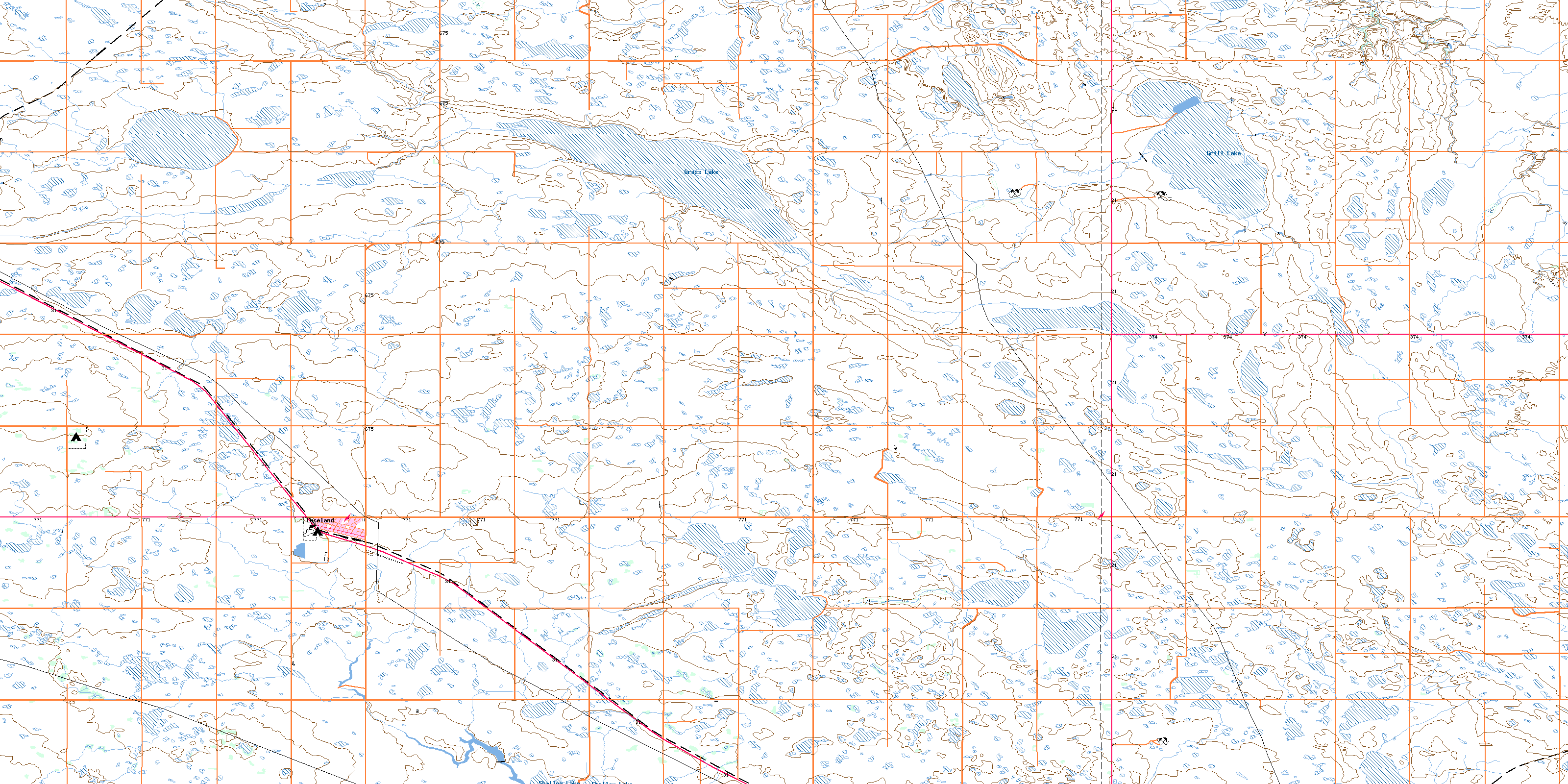
© Department of Natural Resources Canada. All rights reserved.
