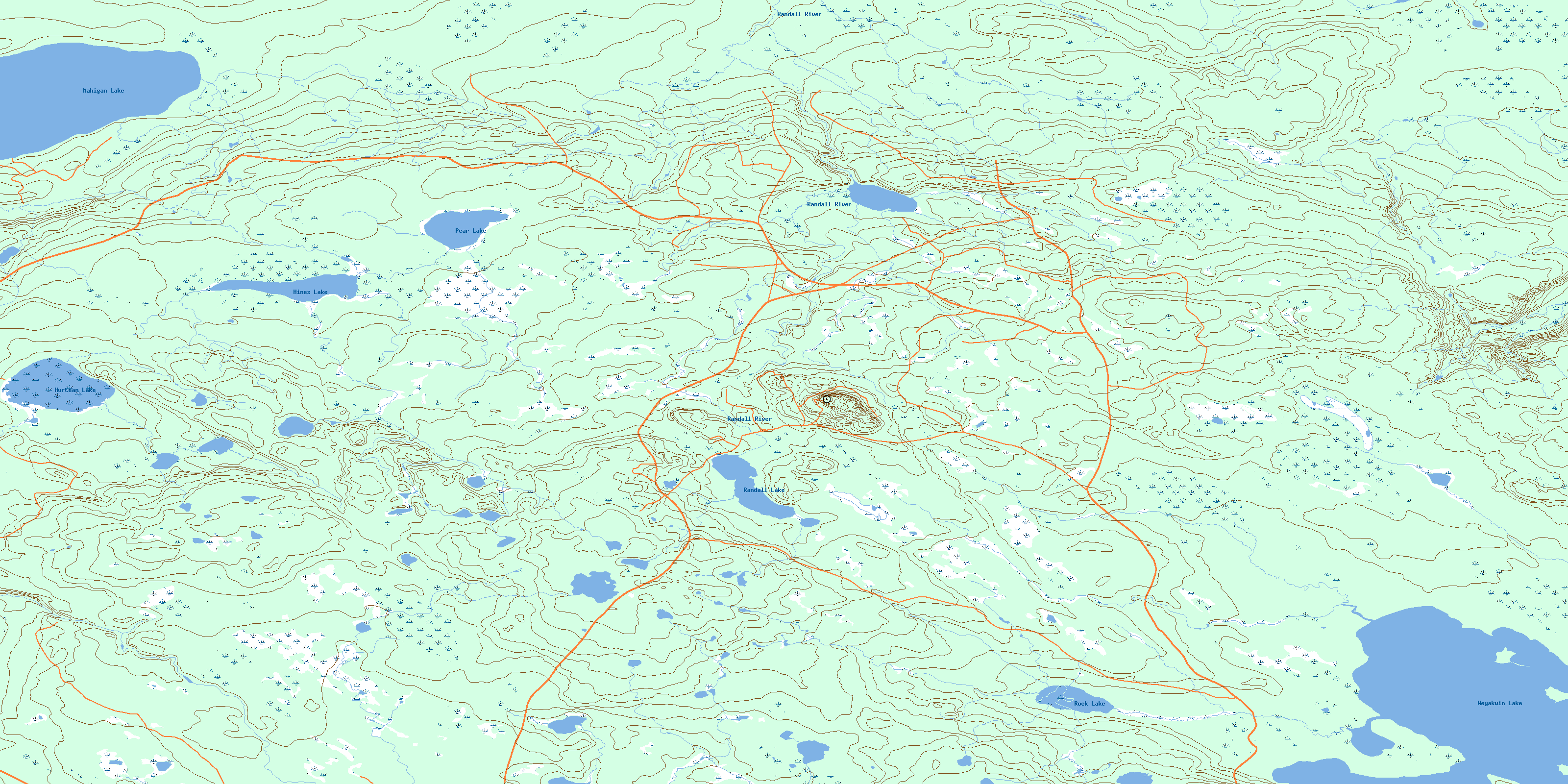
Randall Lake Topo Map Online
Download Free Topo Map Sheet 073J09 at 1:50,000 scale
073J09 Randall Lake Topo Map
To view this map, mouse over the map preview on the right.
You can also download this topo map for free:
073J09 Randall Lake high-resolution topo map image.
Maps for the Randall Lake topo map sheet 073J09 at 1:50,000 scale are also available in these versions:
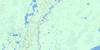
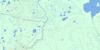
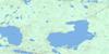
Randall Lake Surrounding Area Topo Maps
 |
 |
 |
 |
 |
 |
 |
 |
 |
 |
 |
 |
 |
 |
 |
 |
© Department of Natural Resources Canada. All rights reserved.
Randall Lake Gazetteer
The following places can be found on topographic map sheet 073J09 Randall Lake:
Randall Lake Topo Map: Bays
Wasyluk BayRandall Lake Topo Map: Lakes
Hines LakeHurtean Lake
Mahigan Lake
Pear Lake
Randall Lake
Rock Lake
Weyakwin Lake
Randall Lake Topo Map: Mountains
Thunder HillThunder Hills
Randall Lake Topo Map: Rivers
Mahigan CreekRandall River
© Department of Natural Resources Canada. All rights reserved.
073J Related Maps:
073J Green Lake073J01 Crean Lake
073J02 Strange Lake
073J03 Taggart Lake
073J04 Green Lake South
073J05 Green Lake
073J06 Sled Lake
073J07 Listen Lake
073J08 Musquash Lake
073J09 Randall Lake
073J10 Smoothstone Lake
073J11 Dore Lake
073J12 Bazill Bay
073J13 Durocher Lake
073J14 Northern Bay
073J15 Swan Lakes
073J16 Twoforks River
