Cold River Topo Map Online
Download Free Topo Map Sheet 073K12 at 1:50,000 scale
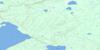
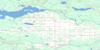
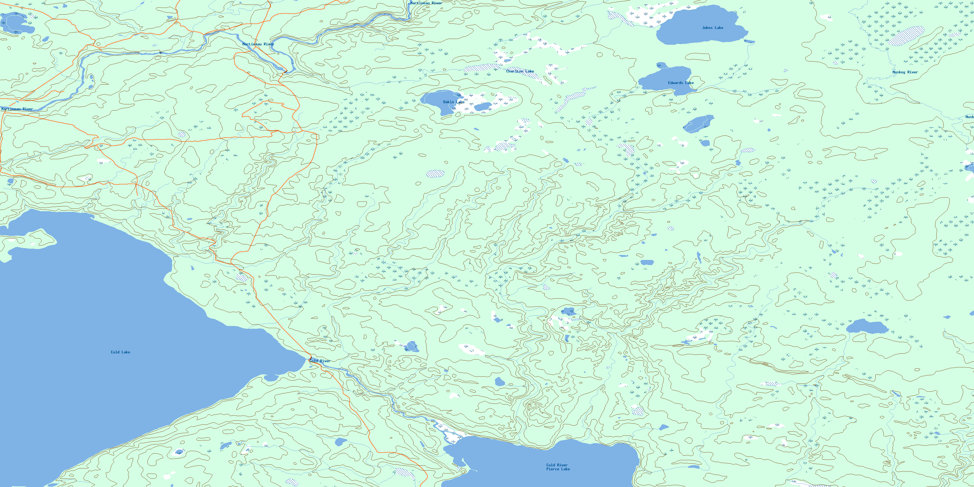
073K12 Cold River Topo Map
To view this map, mouse over the map preview on the right.
You can also download this topo map for free:
073K12 Cold River high-resolution topo map image.
Maps for the Cold River topo map sheet 073K12 at 1:50,000 scale are also available in these versions:
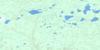
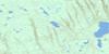
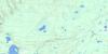
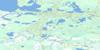
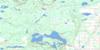
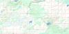
Cold River Surrounding Area Topo Maps
 |
 |
 |
 |
 |
 |
 |
 |
 |
 |
 |
 |
 |
 |
 |
 |
© Department of Natural Resources Canada. All rights reserved.
Cold River Gazetteer
The following places can be found on topographic map sheet 073K12 Cold River:
Cold River Topo Map: Islands
Murray IslandCold River Topo Map: Lakes
Charlton LakeCold Lake
Dakin Lake
Edwards Lake
Jukes Lake
Pierce Lake
Cold River Topo Map: Mountains
Mostoos HillsCold River Topo Map: Other municipal/district area - miscellaneous
Beaver River No. 622Cold River Topo Map: Conservation areas
Meadow Lake Provincial ParkCold River Topo Map: Rivers
Martineau RiverMuskeg River
Tatukose Creek
Tukayaw Creek
© Department of Natural Resources Canada. All rights reserved.
073K Related Maps:
073K Waterhen River073K01 Meadow Lake
073K02 Rapid View
073K03 Makwa Lake
073K04 Ministikwan Lake
073K05 Pierceland
073K06 Goodsoil
073K07 Dorintosh
073K08 Island Hill
073K09 Waterhen Lake
073K10 Flotten Lake
073K11 Muskeg Lake
073K12 Cold River
073K13 Primrose Lake
073K14 Kesatasew Lake
073K15 Lost Lake
073K16 Keeley Lake
