Pierceland Topo Map Online
Download Free Topo Map Sheet 073K05 at 1:50,000 scale
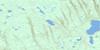
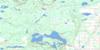
073K05 Pierceland Topo Map
To view this map, mouse over the map preview on the right.
You can also download this topo map for free:
073K05 Pierceland high-resolution topo map image.
Maps for the Pierceland topo map sheet 073K05 at 1:50,000 scale are also available in these versions:
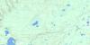
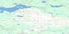
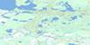
Pierceland Surrounding Area Topo Maps
 |
 |
 |
 |
 |
 |
 |
 |
 |
 |
 |
 |
 |
 |
 |
 |
© Department of Natural Resources Canada. All rights reserved.
Pierceland Gazetteer
The following places can be found on topographic map sheet 073K05 Pierceland:
Pierceland Topo Map: Bays
Big Head BayBighead Bay
Howe Bay
Pierceland Topo Map: Capes
Bear PointPierceland Topo Map: Indian Reserves
Big Head Indian Reserve 124Bighead 124
Réserve indienne Big Head 124
Pierceland Topo Map: Lakes
Beacon LakeCold Lake
Hirtz Lake
Humphrey Lake
Lac des Îles
Lepine Lake
L'Heureux Lake
Meridian Lake
Peebles Lake
Pierce Lake
Pritchard Lake
Turvey Lake
Pierceland Topo Map: Other municipal/district area - miscellaneous
Beaver River No. 622Loon Lake No. 561
Pierceland Topo Map: Conservation areas
Meadow Lake Provincial ParkPine Woods Recreation Site
Pierceland Topo Map: Rivers
Beaver RiverCold River
Redspring Creek
Spencer Creek
Tatukose Creek
Vermilion Creek
Waterhen River
Pierceland Topo Map: Unincorporated areas
Beacon HillNorthern Pine
Pierceland Topo Map: Villages
Pierceland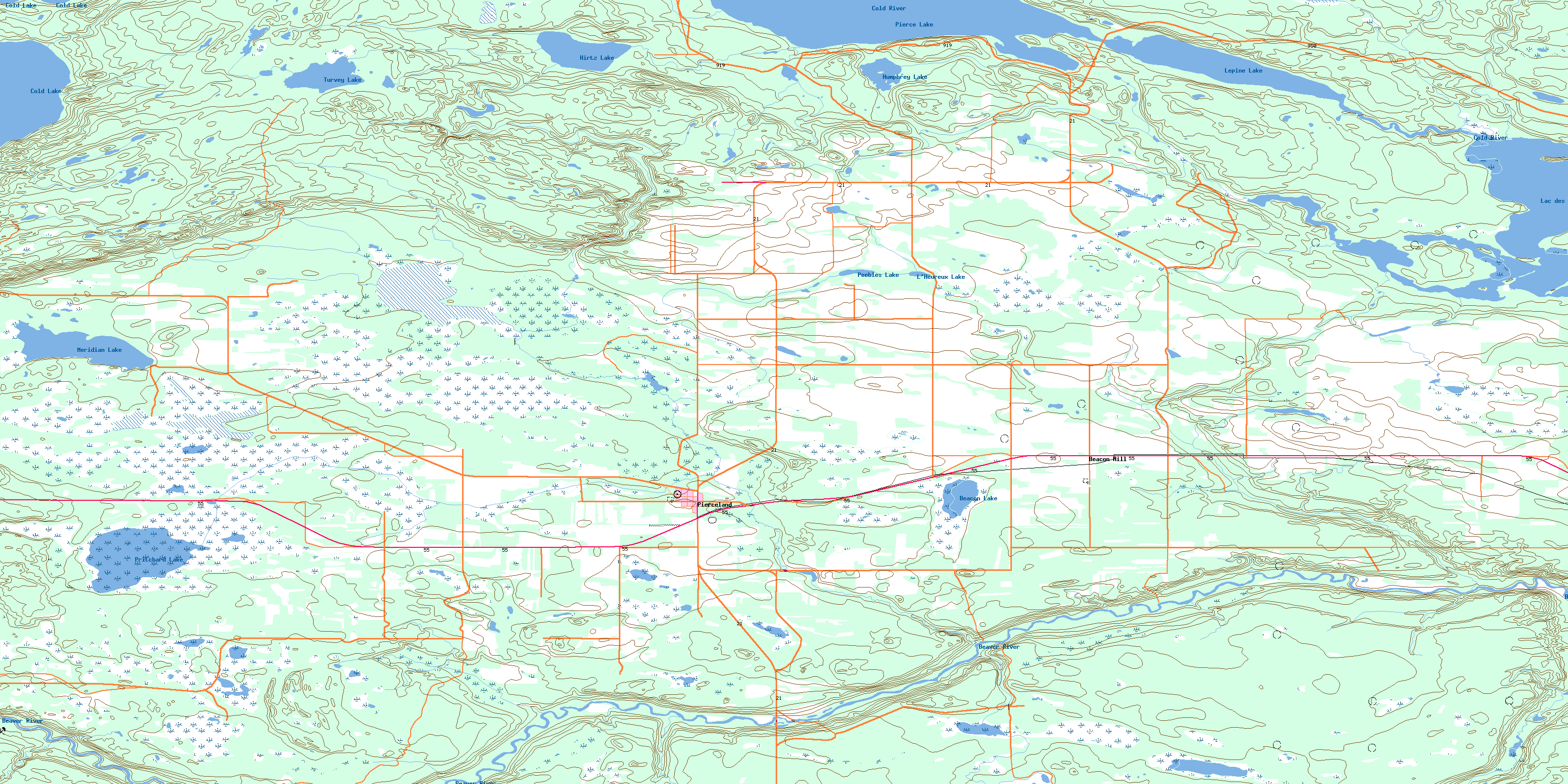
© Department of Natural Resources Canada. All rights reserved.
073K Related Maps:
073K Waterhen River073K01 Meadow Lake
073K02 Rapid View
073K03 Makwa Lake
073K04 Ministikwan Lake
073K05 Pierceland
073K06 Goodsoil
073K07 Dorintosh
073K08 Island Hill
073K09 Waterhen Lake
073K10 Flotten Lake
073K11 Muskeg Lake
073K12 Cold River
073K13 Primrose Lake
073K14 Kesatasew Lake
073K15 Lost Lake
073K16 Keeley Lake
