Asphalt Creek Topo Map Online
Download Free Topo Map Sheet 074E12 at 1:50,000 scale
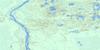
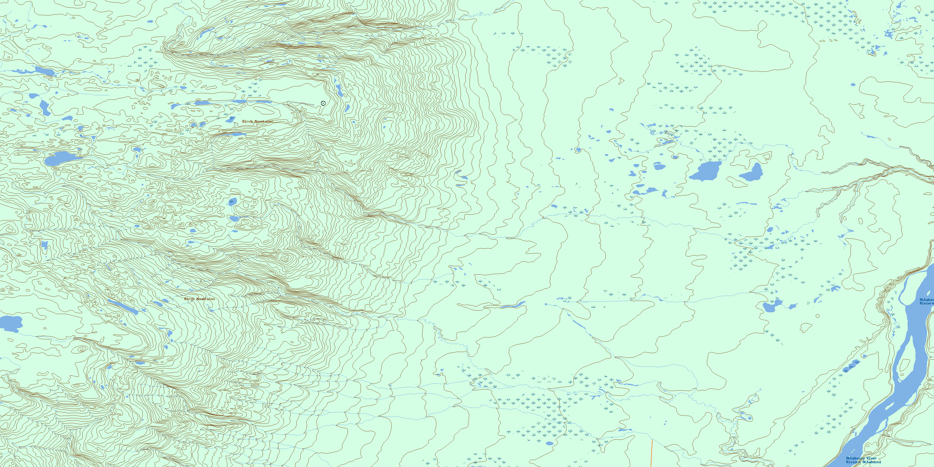
074E12 Asphalt Creek Topo Map
To view this map, mouse over the map preview on the right.
You can also download this topo map for free:
074E12 Asphalt Creek high-resolution topo map image.
Maps for the Asphalt Creek topo map sheet 074E12 at 1:50,000 scale are also available in these versions:
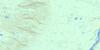
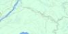
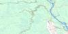
Asphalt Creek Surrounding Area Topo Maps
 |
 |
 |
 |
 |
 |
 |
 |
 |
 |
 |
 |
 |
 |
 |
 |
© Department of Natural Resources Canada. All rights reserved.
Asphalt Creek Gazetteer
The following places can be found on topographic map sheet 074E12 Asphalt Creek:
Asphalt Creek Topo Map: Capes
Peterson's PlaceAsphalt Creek Topo Map: Islands
Bird IslandSled Island
Asphalt Creek Topo Map: Lakes
Cranberry LakeCrooked Lake
Kelly Lake
Oakley Lake
Small Sandy Lake
Asphalt Creek Topo Map: Mountains
Birch MountainsAsphalt Creek Topo Map: Rivers
Asphalt CreekAthabasca River
Athabaska River
Big Creek
Eymundson Creek
First Creek
Pierre River
Redclay Creek
Rivière Athabasca
© Department of Natural Resources Canada. All rights reserved.
074E Related Maps:
074E Bitumount074E01 No Title
074E02 No Title
074E03 Hartley Creek
074E04 Fort Mackay
074E05 Bitumount
074E06 Kearl Lake
074E07 No Title
074E08 Trout Creek
074E09 Johnson Lake
074E10 Audet Lake
074E11 Firebag River
074E12 Asphalt Creek
074E13 Ronald Lake
074E14 Pearson Lake
074E15 No Title
074E16 Robert Creek
