Methleka Lake Topo Map Online
Download Free Topo Map Sheet 075D06 at 1:50,000 scale
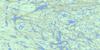
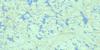
075D06 Methleka Lake Topo Map
To view this map, mouse over the map preview on the right.
You can also download this topo map for free:
075D06 Methleka Lake high-resolution topo map image.
Maps for the Methleka Lake topo map sheet 075D06 at 1:50,000 scale are also available in these versions:
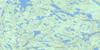
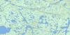
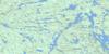
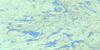
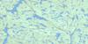
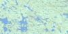
Methleka Lake Surrounding Area Topo Maps
 |
 |
 |
 |
 |
 |
 |
 |
 |
 |
 |
 |
 |
 |
 |
 |
© Department of Natural Resources Canada. All rights reserved.
Methleka Lake Gazetteer
The following places can be found on topographic map sheet 075D06 Methleka Lake:
Methleka Lake Topo Map: Falls
Elsie FallsNaili Falls
Methleka Lake Topo Map: Lakes
Gertrude LakeJackfish Lake
Methleka Lake
Piers Lake
Pilot Lake
Trudel Lake
Methleka Lake Topo Map: Rivers
Kenneth CreekKonth River
Powell Creek
Taltson River
Trudel Creek
Methleka Lake Topo Map: Valleys
Twin Gorges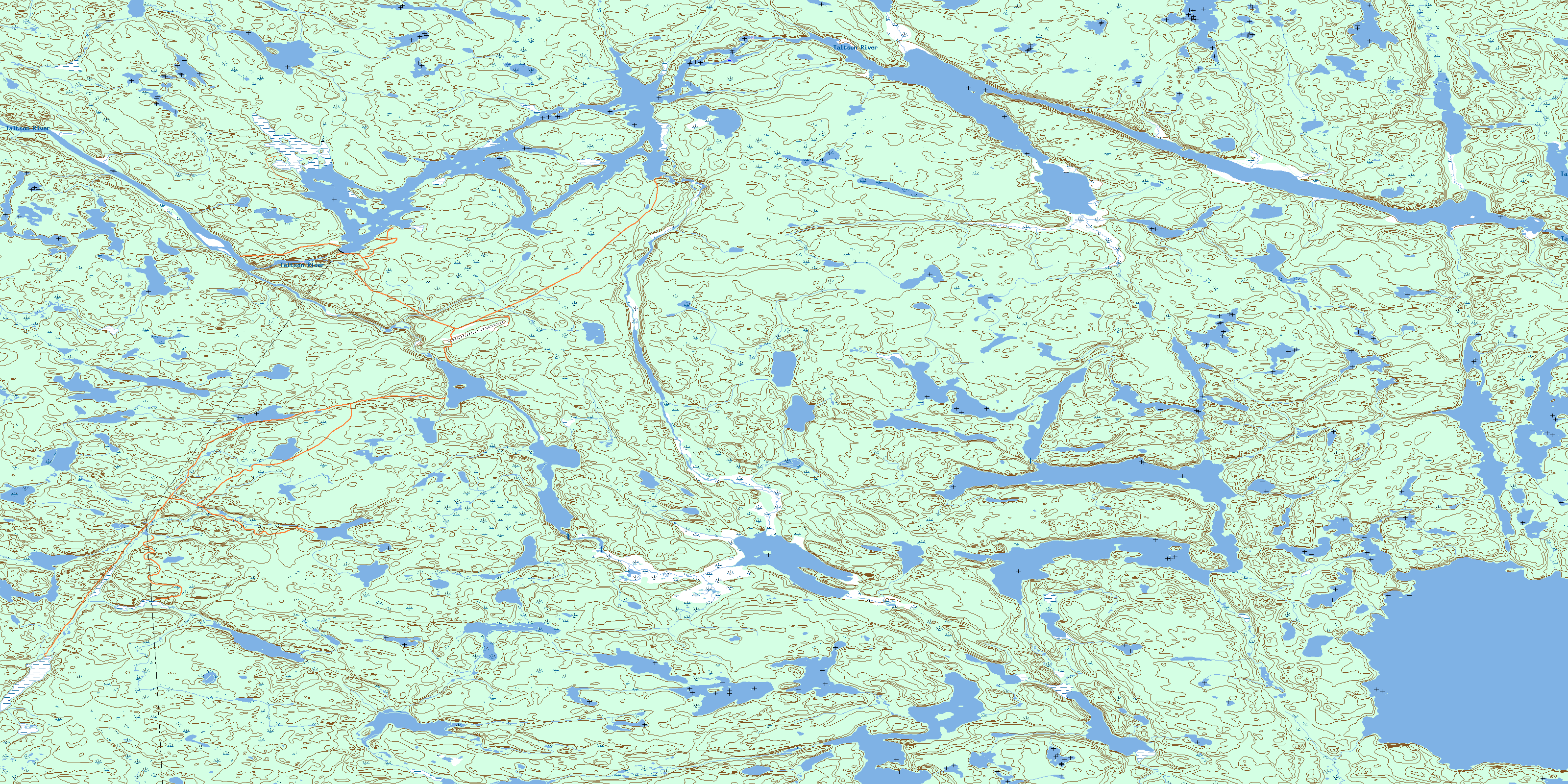
© Department of Natural Resources Canada. All rights reserved.
075D Related Maps:
075D Fort Smith075D01 Largepike Lake
075D02 Hanging Ice Lake
075D03 Schaefer Lakes
075D04 Fort Smith
075D05 Mistigi Lake
075D06 Methleka Lake
075D07 Star Lake
075D08 Bedodid Lake
075D09 Soulier Lake
075D10 Benna Thy Lake
075D11 Champagne Lakes
075D12 Tsu Lake
075D13 Tortuous Lake
075D14 Fork Lake
075D15 Lady Grey Lake
075D16 Bigpine Narrows
