Rocknest Bay Topo Map Online
Download Free Topo Map Sheet 076C01 at 1:50,000 scale
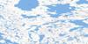
076C01 Rocknest Bay Topo Map
To view this map, mouse over the map preview on the right.
You can also download this topo map for free:
076C01 Rocknest Bay high-resolution topo map image.
Maps for the Rocknest Bay topo map sheet 076C01 at 1:50,000 scale are also available in these versions:
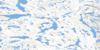
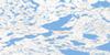
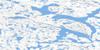
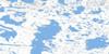
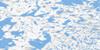
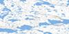
Rocknest Bay Surrounding Area Topo Maps
 |
 |
 |
 |
 |
 |
 |
 |
 |
 |
 |
 |
 |
 |
 |
 |
© Department of Natural Resources Canada. All rights reserved.
Rocknest Bay Gazetteer
The following places can be found on topographic map sheet 076C01 Rocknest Bay:
Rocknest Bay Topo Map: Bays
Carpenter BayRocknest Bay
Rocknest Bay Topo Map: Channels
Thanakoie NarrowsRocknest Bay Topo Map: Lakes
Aylmer Lake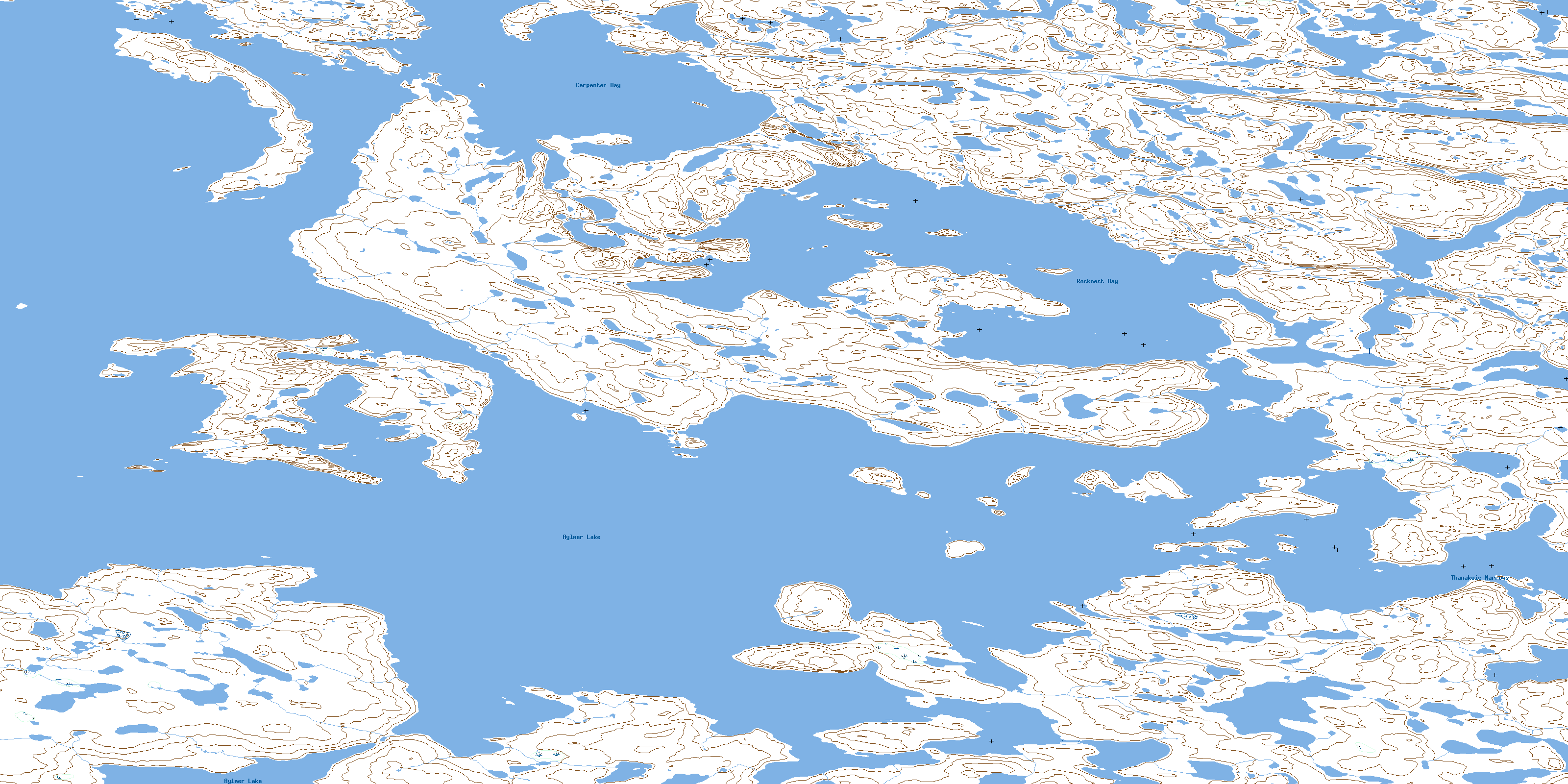
© Department of Natural Resources Canada. All rights reserved.
076C Related Maps:
076C Aylmer Lake076C01 Rocknest Bay
076C02 Williamson Island
076C03 No Title
076C04 No Title
076C05 Thonokied Lake
076C06 Afridi Lake
076C07 Savannah Lake
076C08 Sussex Lake
076C09 Muskox Lake
076C10 No Title
076C11 Glowworm Lake
076C12 No Title
076C13 Hardy Lake
076C14 No Title
076C15 Thistle Lake
076C16 Thlewycho Lake
