Mabel Lake Topo Map Online
Download Free Topo Map Sheet 082L10 at 1:50,000 scale
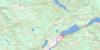
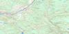
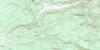
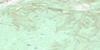
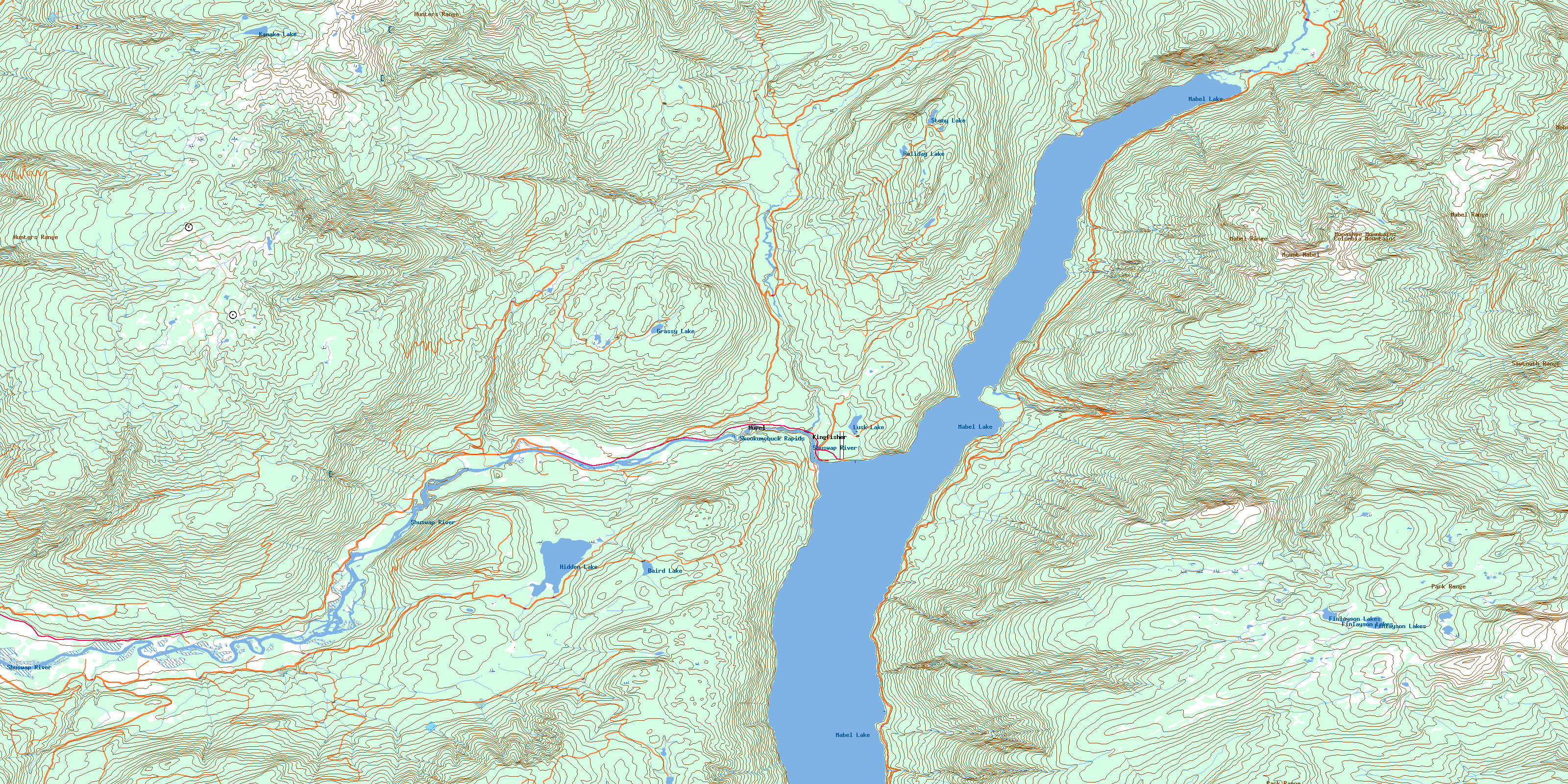
082L10 Mabel Lake Topo Map
To view this map, mouse over the map preview on the right.
You can also download this topo map for free:
082L10 Mabel Lake high-resolution topo map image.
Maps for the Mabel Lake topo map sheet 082L10 at 1:50,000 scale are also available in these versions:
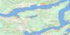
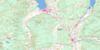
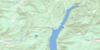
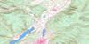
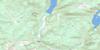
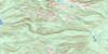
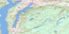
Mabel Lake Surrounding Area Topo Maps
 |
 |
 |
 |
 |
 |
 |
 |
 |
 |
 |
 |
 |
 |
 |
 |
© Department of Natural Resources Canada. All rights reserved.
Mabel Lake Gazetteer
The following places can be found on topographic map sheet 082L10 Mabel Lake:
Mabel Lake Topo Map: Beaches
Dolly Varden BeachMabel Lake Topo Map: Channels
Tsuius NarrowsMabel Lake Topo Map: Islands
The IslandsMabel Lake Topo Map: Lakes
Baird LakeDungate Lakes
Elbow Lake
Finlayson Lakes
Grassy Lake
Hidden Lake
Holiday Lake
Kanaka Lake
Lusk Lake
Mabel Lake
Stony Lake
Mabel Lake Topo Map: Mountains
Columbia MountainsHunters Range
Mabel Range
Monashee Mountains
Mount Mabel
Mount Nelson
Park Range
Sawtooth Range
Shuswap Highland
Trinity Hills
Mabel Lake Topo Map: Major municipal/district area - major agglomerations
Columbia-Shuswap Regional DistrictMabel Lake Topo Map: Rapids
Skookumchuck RapidsMabel Lake Topo Map: Rivers
Almondberry CreekAlmondbury Creek
Apeles Creek
Ashton Creek
Barnes Creek
Blurton Creek
Brash Creek
Cooke Creek
Dale Creek
Danforth Creek
Delorne Creek
Devil Creek
Fall Creek
Frog Creek
Gleitz Creek
Hound Creek
Hunters Creek
Iron Creek
Jirod Creek
Johnson Creek
Kingfisher Creek
Latewhos Creek
Mabel Creek
Mara Creek
Mudra Creek
Napasis Creek
Noisy Creek
Rogers Creek
Shuswap River
Siddle Creek
Simard Creek
Smidsk Creek
Smyth Creek
Sowsap Creek
Star Creek
Torrent Creek
Trinity Creek
Tsuius Creek
Wap Creek
Whip Creek
Mabel Lake Topo Map: Unincorporated areas
GrindrodHupel
Kingfisher
© Department of Natural Resources Canada. All rights reserved.
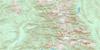
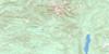
082L Related Maps:
082L Vernon082L01 Eureka Mountain
082L02 Creighton Creek
082L03 Oyama
082L04 Shorts Creek
082L05 Westwold
082L06 Vernon
082L07 Shuswap Falls
082L08 Mount Fosthall
082L09 Gates Creek
082L10 Mabel Lake
082L11 Salmon Arm
082L12 Monte Creek
082L13 Chase
082L14 Sorrento
082L15 Malakwa
082L16 Revelstoke
