Murtle Lake Topo Map Online
Download Free Topo Map Sheet 083D04 at 1:50,000 scale
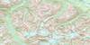
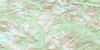
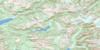
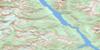
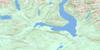
083D04 Murtle Lake Topo Map
To view this map, mouse over the map preview on the right.
You can also download this topo map for free:
083D04 Murtle Lake high-resolution topo map image.
Maps for the Murtle Lake topo map sheet 083D04 at 1:50,000 scale are also available in these versions:
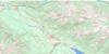
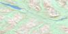
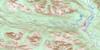
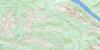
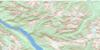
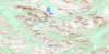
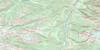
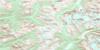
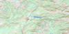
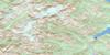
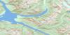
Murtle Lake Surrounding Area Topo Maps
 |
 |
 |
 |
 |
 |
 |
 |
 |
 |
 |
 |
 |
 |
 |
 |
© Department of Natural Resources Canada. All rights reserved.
Murtle Lake Gazetteer
The following places can be found on topographic map sheet 083D04 Murtle Lake:
Murtle Lake Topo Map: Bays
North ArmWest Arm
Murtle Lake Topo Map: Falls
McDougall FallsMeadow Falls
Murtle Lake Topo Map: Islands
Fairyslipper IslandLeo Island
Murtle Lake Topo Map: Lakes
Anderson LakeBlue Lake
Diamond Lagoon
Helset Lakes
Kostal Lake
Little Anderson Lake
McDougall Lake
Murtle Lagoon
Murtle Lake
Phyllis Lake
Stevens Lakes
Strait Lake
Twin Lakes
Murtle Lake Topo Map: Mountains
Cariboo MountainsCentral Mountain
Columbia Mountains
Columbia System
Goat Peaks
Kilpill Mountain
Kostal Cone
Mobley Ridge
Pillpill Mountain
Quesnel Highland
Shuswap Highland
Wave Crest Peak
Wavy Range
Murtle Lake Topo Map: Conservation areas
Wells Gray ParkMurtle Lake Topo Map: Plains
Interior PlateauMurtle Lake Topo Map: Rivers
Anderson CreekArthur Creek
Blue River
File Creek
Hemp Creek
Munter Creek
Murtle River
Snookwa Creek
Strait Creek
Vachon Creek
Murtle Lake Topo Map: Unincorporated areas
StillwaterMurtle Lake Topo Map: Valleys
Munter Basin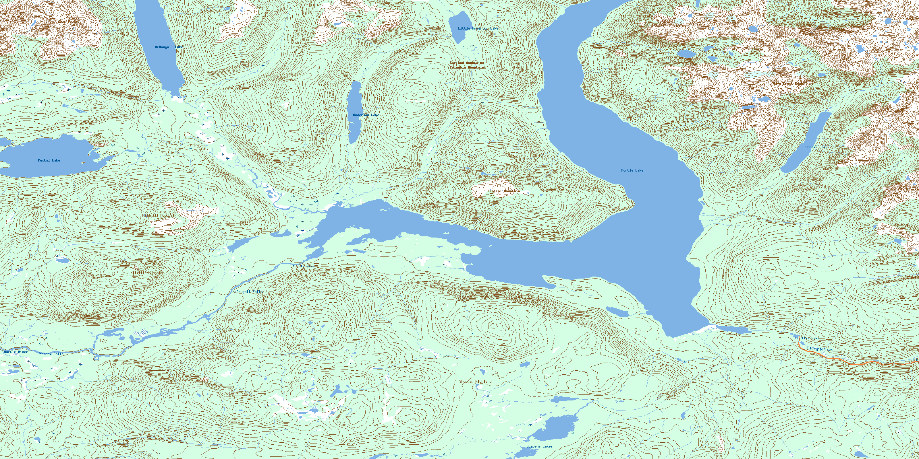
© Department of Natural Resources Canada. All rights reserved.
083D Related Maps:
083D Canoe River083D01 Wood Arm
083D02 Nagle Creek
083D03 Blue River
083D04 Murtle Lake
083D05 Angus Horne Lake
083D06 Lempriere
083D07 Howard Creek
083D08 Athabasca Pass
083D09 Amethyst Lakes
083D10 Ptarmigan Creek
083D11 Canoe Mountain
083D12 Azure River
083D13 Kiwa Creek
083D14 Valemount
083D15 Lucerne
083D16 Jasper
