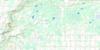
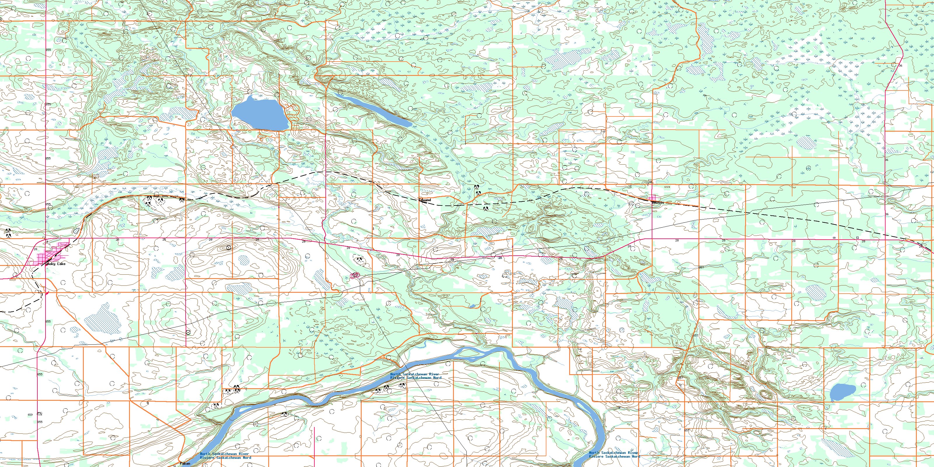
Smoky Lake Topo Map Online
Download Free Topo Map Sheet 083I01 at 1:50,000 scale
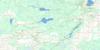
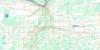
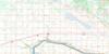
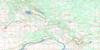
083I01 Smoky Lake Topo Map
To view this map, mouse over the map preview on the right.
You can also download this topo map for free:
083I01 Smoky Lake high-resolution topo map image.
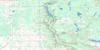
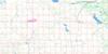
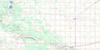
Maps for the Smoky Lake topo map sheet 083I01 at 1:50,000 scale are also available in these versions:
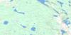
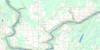
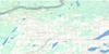
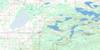
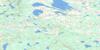
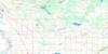
Smoky Lake Surrounding Area Topo Maps
 |
 |
 |
 |
 |
 |
 |
 |
 |
 |
 |
 |
 |
 |
 |
 |
© Department of Natural Resources Canada. All rights reserved.
Smoky Lake Gazetteer
The following places can be found on topographic map sheet 083I01 Smoky Lake:
Smoky Lake Topo Map: Geographical areas
Victoria SettlementSmoky Lake Topo Map: Lakes
Mons LakeSmoky Lake Topo Map: Major municipal/district area - major agglomerations
County of Lamont No. 30County of Smoky Lake No. 13
Lamont County
Smoky Lake County
Smoky Lake Topo Map: Other municipal/district area - miscellaneous
Improvement District No. 18Improvement District of Little Divide No. 18 South
Smoky Lake Topo Map: Conservation areas
Fort White Earth (Lower Terre Blanche House) Provincial Historic Site (Undeveloped)Victoria Settlement Provincial Historic Site (Developed)
Smoky Lake Topo Map: Rivers
Edwand CreekNorth Saskatchewan River
Redclay Creek
Rivière Saskatchewan Nord
Smoky Creek
Stony Creek
White Earth Creek
Smoky Lake Topo Map: Towns
Smoky LakeSmoky Lake Topo Map: Unincorporated areas
BellisCadron
Downing
Edwand
Kahwin
North Kotzman
Pakan
Wahstao
© Department of Natural Resources Canada. All rights reserved.
