Perryvale Topo Map Online
Download Free Topo Map Sheet 083I06 at 1:50,000 scale
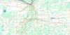
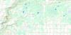
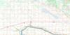
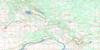
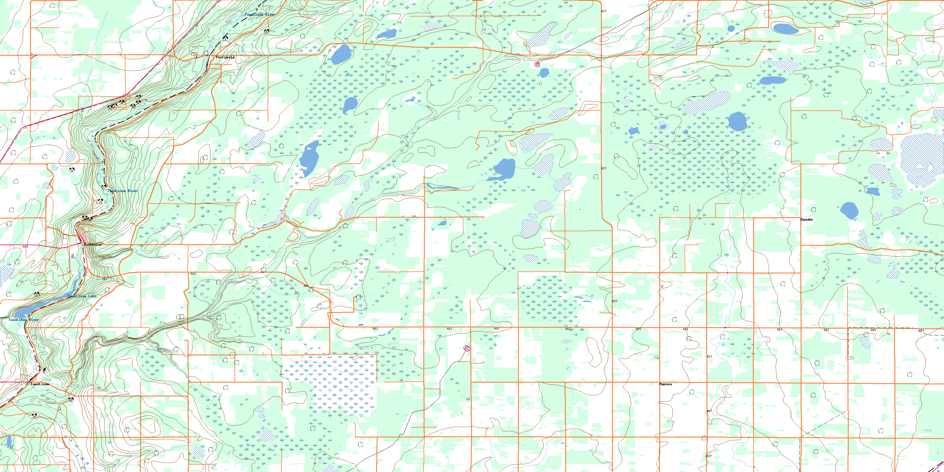
083I06 Perryvale Topo Map
To view this map, mouse over the map preview on the right.
You can also download this topo map for free:
083I06 Perryvale high-resolution topo map image.
Maps for the Perryvale topo map sheet 083I06 at 1:50,000 scale are also available in these versions:
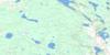
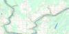
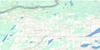
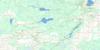
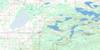
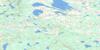
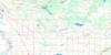
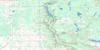
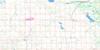
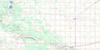
Perryvale Surrounding Area Topo Maps
 |
 |
 |
 |
 |
 |
 |
 |
 |
 |
 |
 |
 |
 |
 |
 |
© Department of Natural Resources Canada. All rights reserved.
Perryvale Gazetteer
The following places can be found on topographic map sheet 083I06 Perryvale:
Perryvale Topo Map: Lakes
Tawatinaw LakePerryvale Topo Map: Major municipal/district area - major agglomerations
County of Athabasca No. 12County of Thorhild No. 7
Municipal District of Westlock No. 92
Perryvale Topo Map: Rivers
Colinton CreekKennedy Creek
Namepi Creek
Pine Creek
Tawatinaw River
Perryvale Topo Map: Unincorporated areas
DanubeMapova
Perryvale
Rochester
Stowe
Tawatinaw
© Department of Natural Resources Canada. All rights reserved.
