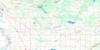
Plamondon Topo Map Online
Download Free Topo Map Sheet 083I16 at 1:50,000 scale
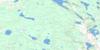
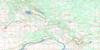
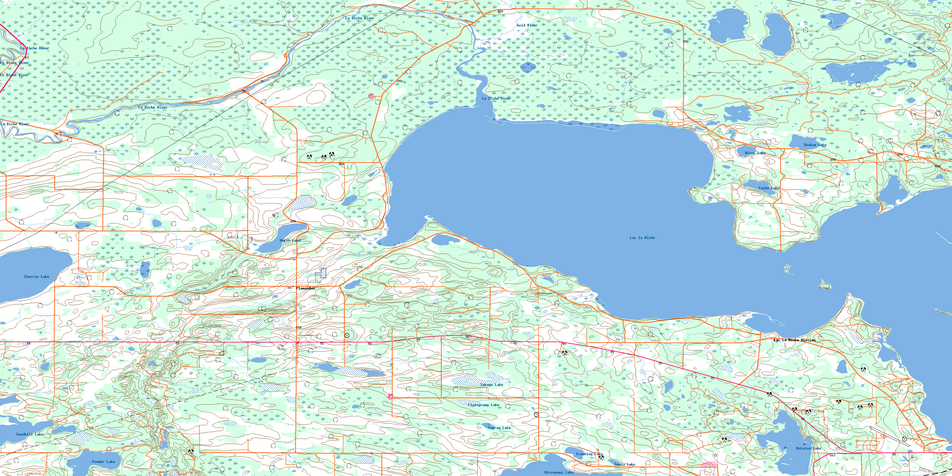
083I16 Plamondon Topo Map
To view this map, mouse over the map preview on the right.
You can also download this topo map for free:
083I16 Plamondon high-resolution topo map image.
Maps for the Plamondon topo map sheet 083I16 at 1:50,000 scale are also available in these versions:
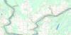
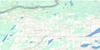
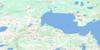
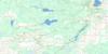
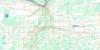
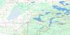
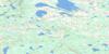
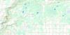
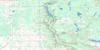
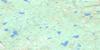
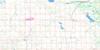
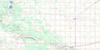
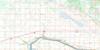
Plamondon Surrounding Area Topo Maps
 |
 |
 |
 |
 |
 |
 |
 |
 |
 |
 |
 |
 |
 |
 |
 |
© Department of Natural Resources Canada. All rights reserved.
Plamondon Gazetteer
The following places can be found on topographic map sheet 083I16 Plamondon:
Plamondon Topo Map: Bays
Plamondon BayPlamondon Topo Map: Islands
Big IslandBirch Island
Black Fox Island
Plamondon Topo Map: Lakes
Antoine LakeCache Lake
Charron Lake
Flyingcamp Lake
Horse Lake
Lac la Biche
Lagoon Lake
Missawawi Lake
Nicot Lake
Powder Lake
Sakayo Lake
Sandhill Lake
Sandy Lake
Skukum Lake
Sonia Lake
Tremblay Lake
Yagraw Lake
Plamondon Topo Map: Major municipal/district area - major agglomerations
County of Athabasca No. 12Lakeland County
Municipal District of Bonnyville No. 87
Plamondon Topo Map: Conservation areas
Sir Winston Churchill Provincial ParkPlamondon Topo Map: Rivers
Gold RiverLa Biche River
Plamondon Creek
Plamondon Topo Map: Unincorporated areas
BernyEgg Lake
Gourin
Lac La Biche Mission
Plamondon
© Department of Natural Resources Canada. All rights reserved.
