Marten Lakes Topo Map Online
Download Free Topo Map Sheet 083O10 at 1:50,000 scale
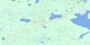
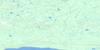
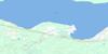
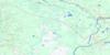
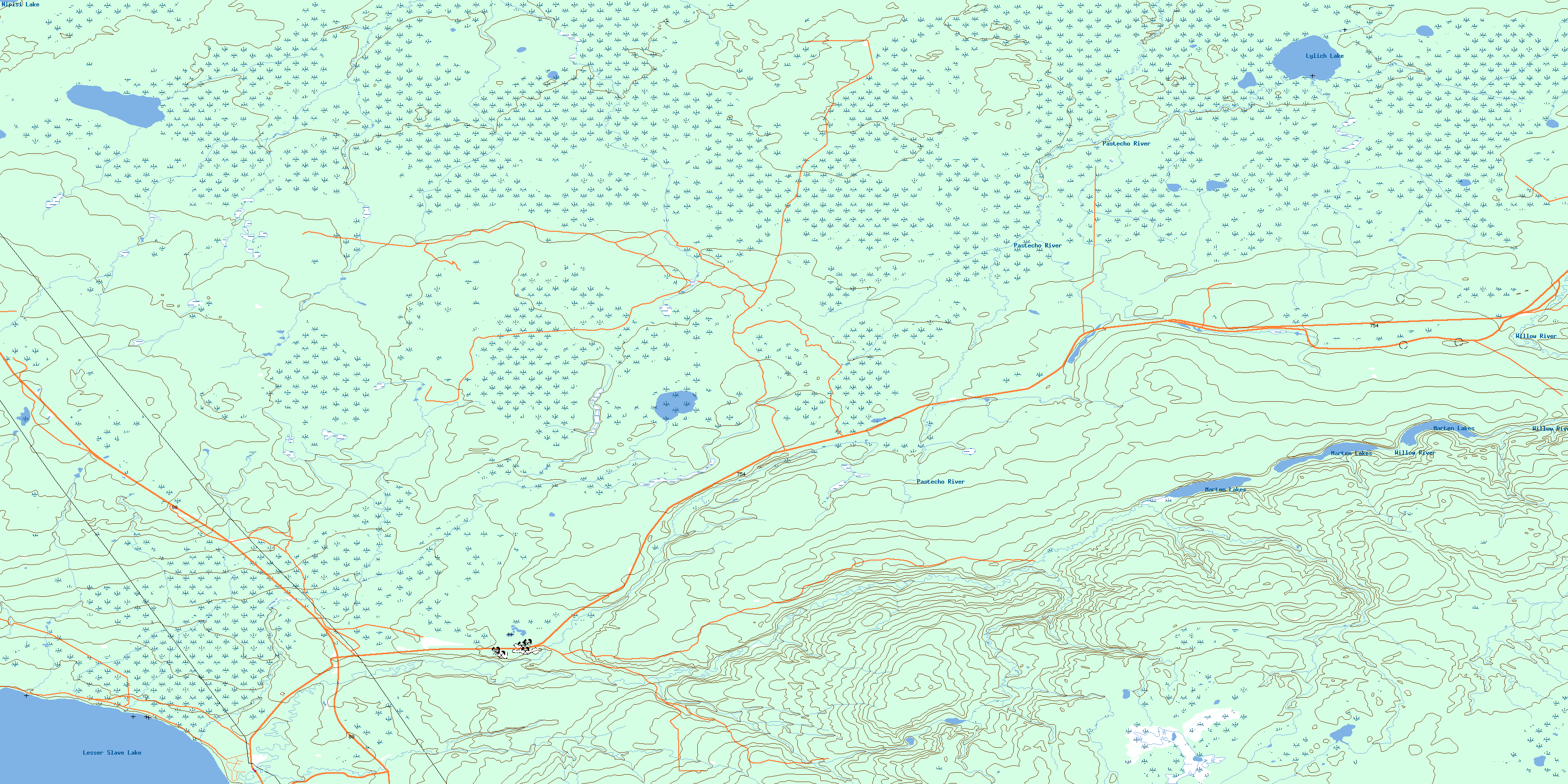
083O10 Marten Lakes Topo Map
To view this map, mouse over the map preview on the right.
You can also download this topo map for free:
083O10 Marten Lakes high-resolution topo map image.
Maps for the Marten Lakes topo map sheet 083O10 at 1:50,000 scale are also available in these versions:
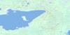
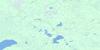
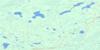
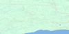
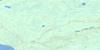
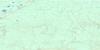
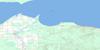
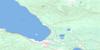
Marten Lakes Surrounding Area Topo Maps
 |
 |
 |
 |
 |
 |
 |
 |
 |
 |
 |
 |
 |
 |
 |
 |
© Department of Natural Resources Canada. All rights reserved.
Marten Lakes Gazetteer
The following places can be found on topographic map sheet 083O10 Marten Lakes:
Marten Lakes Topo Map: Lakes
Lesser Slave LakeLylich Lake
Marten Lakes
Nipisi Lake
Marten Lakes Topo Map: Major municipal/district area - major agglomerations
Municipal District of East Peace No. 131Municipal District of Lesser Slave River No. 124
Northern Sunrise County
Marten Lakes Topo Map: Conservation areas
Lesser Slave Lake Provincial ParkMarten Lakes Topo Map: Rivers
Cabin CreekMarten Creek
Pastecho River
Willow River
© Department of Natural Resources Canada. All rights reserved.
083O Related Maps:
083O Lesser Slave Lake083O01 Smith
083O02 Florida Lake
083O03 Adams Creek
083O04 House Mountain
083O05 Driftpile
083O06 Kinuso
083O07 Slave Lake
083O08 Driftwood River
083O09 No Title
083O10 Marten Lakes
083O11 Narrows Creek
083O12 Salt Creek
083O13 Atikameg
083O14 Utikuma Lake
083O15 Brintnell Lake
083O16 Mistehae Lake
