Brine Creek Topo Map Online
Download Free Topo Map Sheet 084P16 at 1:50,000 scale
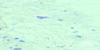
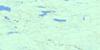
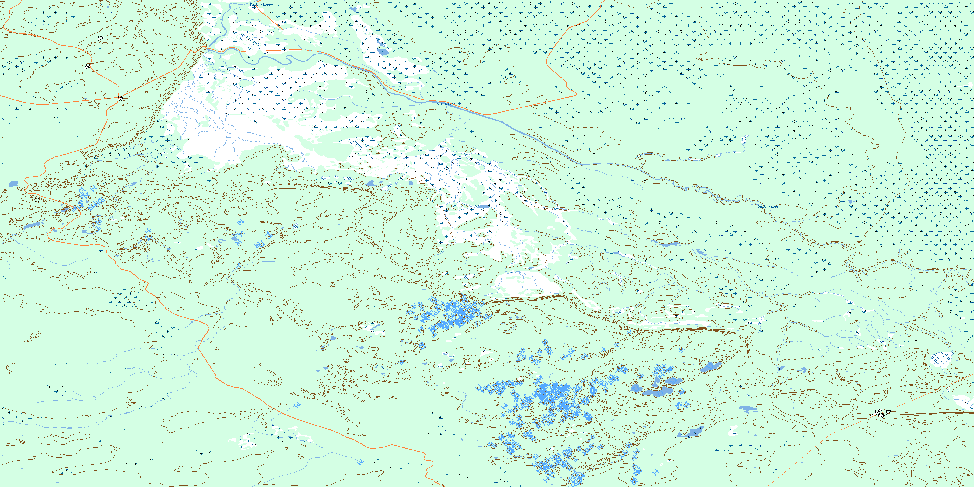
084P16 Brine Creek Topo Map
To view this map, mouse over the map preview on the right.
You can also download this topo map for free:
084P16 Brine Creek high-resolution topo map image.
Maps for the Brine Creek topo map sheet 084P16 at 1:50,000 scale are also available in these versions:
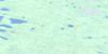
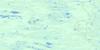
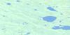
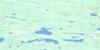
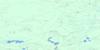
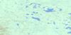
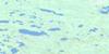
Brine Creek Surrounding Area Topo Maps
 |
 |
 |
 |
 |
 |
 |
 |
 |
 |
 |
 |
 |
 |
 |
 |
© Department of Natural Resources Canada. All rights reserved.
Brine Creek Gazetteer
The following places can be found on topographic map sheet 084P16 Brine Creek:
Brine Creek Topo Map: Major municipal/district area - major agglomerations
Specialized Municipality of Mackenzie No. 23Brine Creek Topo Map: Other municipal/district area - miscellaneous
Improvement District No. 24Brine Creek Topo Map: Conservation areas
Parc national du Canada Wood BuffaloWood Buffalo National Park of Canada
Brine Creek Topo Map: Rivers
Brine CreekSalt River
Salt River
© Department of Natural Resources Canada. All rights reserved.
084P Related Maps:
084P Peace Point084P01 Square Lake
084P02 Boyer Rapids
084P03 Patenaude Lake
084P04 Burrison Lake
084P05 Bowhay Lake
084P06 Merryweather Lake
084P07 No Title
084P08 Pierre Lake
084P09 No Title
084P10 Upland Lake
084P11 Conibear Lake
084P12 Thultue Lake
084P13 Sass Lake
084P14 Preble Lake
084P15 Flatgrass Lake
084P16 Brine Creek
