Ives Bay Topo Map Online
Download Free Topo Map Sheet 085G15 at 1:50,000 scale
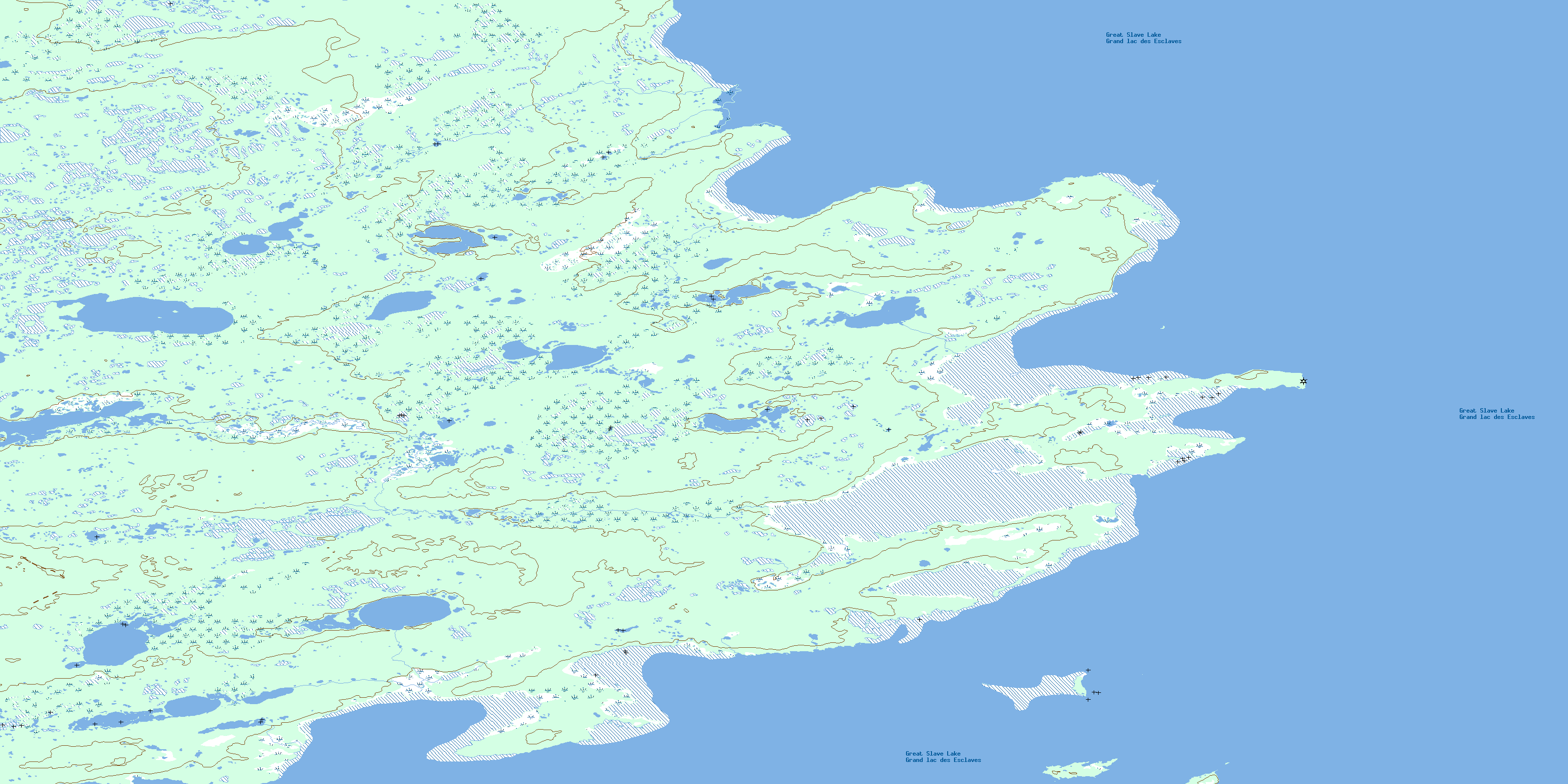
085G15 Ives Bay Topo Map
To view this map, mouse over the map preview on the right.
You can also download this topo map for free:
085G15 Ives Bay high-resolution topo map image.
Maps for the Ives Bay topo map sheet 085G15 at 1:50,000 scale are also available in these versions:
Ives Bay Surrounding Area Topo Maps
 |
 |
 |
|
 |
 |
 |
|
 |
|||
 |
 |
© Department of Natural Resources Canada. All rights reserved.
Ives Bay Gazetteer
The following places can be found on topographic map sheet 085G15 Ives Bay:
Ives Bay Topo Map: Bays
Bloomfield BayBurdick Cove
Edgar Bay
Gypsum Bay
Ives Bay
Mace Bight
Ives Bay Topo Map: Capes
Anderson PointBloomfield Point
Burdick Point
Edgar Point
Gypsum Point
Ives Point
May Point
Mirage Point
Swan Point
Ives Bay Topo Map: Islands
Crescent IslandDanger Island
Gypsum Island
Hardisty Island
Ives Bay Topo Map: Lakes
Grand lac des EsclavesGreat Slave Lake
© Department of Natural Resources Canada. All rights reserved.
