Singialuk Peninsula Topo Map Online
Download Free Topo Map Sheet 087C09 at 1:50,000 scale
087C09 Singialuk Peninsula Topo Map
To view this map, mouse over the map preview on the right.
You can also download this topo map for free:
087C09 Singialuk Peninsula high-resolution topo map image.
Maps for the Singialuk Peninsula topo map sheet 087C09 at 1:50,000 scale are also available in these versions:
Singialuk Peninsula Surrounding Area Topo Maps
 |
 |
||
 |
 |
||
 |
 |
||
 |
 |
© Department of Natural Resources Canada. All rights reserved.
Singialuk Peninsula Gazetteer
The following places can be found on topographic map sheet 087C09 Singialuk Peninsula:
Singialuk Peninsula Topo Map: Bays
Amundsen GulfAmundsen Gulf
Lady Richardson Bay
Penny Bay
Penny Bay
Singialuk Peninsula Topo Map: Capes
Cape Ernest KendallCape Kendall
Singialuk Peninsula
Wollaston Peninsula
Wollaston Peninsula
Singialuk Peninsula Topo Map: Channels
Dolphin and Union StraitSingialuk Peninsula Topo Map: Islands
Bell IslandBell Island
Victoria Island
Victoria Island
Singialuk Peninsula Topo Map: Lakes
Boffa LakeSingialuk Peninsula Topo Map: Rivers
Kugaluk River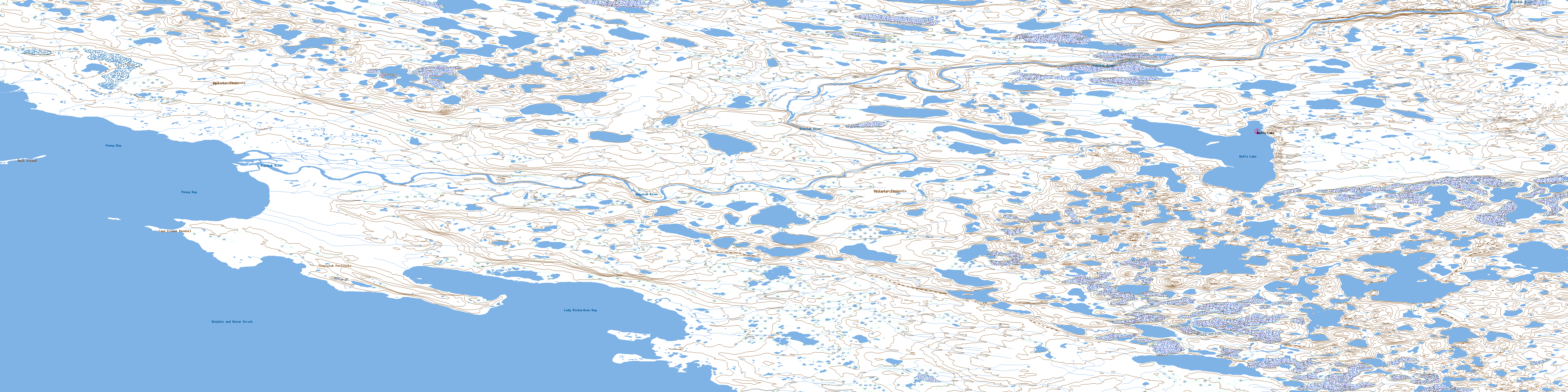
© Department of Natural Resources Canada. All rights reserved.
