Parker Point Topo Map Online
Download Free Topo Map Sheet 088D12 at 1:50,000 scale
088D12 Parker Point Topo Map
To view this map, mouse over the map preview on the right.
You can also download this topo map for free:
088D12 Parker Point high-resolution topo map image.
Maps for the Parker Point topo map sheet 088D12 at 1:50,000 scale are also available in these versions:
Parker Point Surrounding Area Topo Maps
 |
|||
© Department of Natural Resources Canada. All rights reserved.
Parker Point Gazetteer
The following places can be found on topographic map sheet 088D12 Parker Point:
Parker Point Topo Map: Bays
Knight HarbourParker Point Topo Map: Capes
Parker PointRussell Point
Parker Point Topo Map: Channels
IkirahakM'Clure Strait
Parry Channel
Prince of Wales Strait
Viscount Melville Sound
Parker Point Topo Map: Islands
Banks IslandParker Point Topo Map: Rivers
Parker River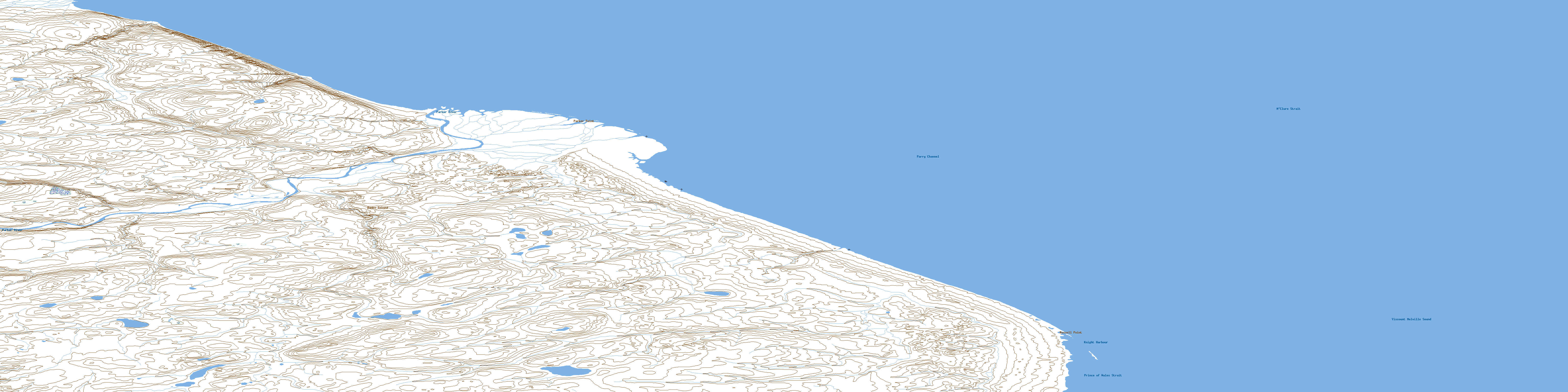
© Department of Natural Resources Canada. All rights reserved.
