Back Point Topo Map Online
Download Free Topo Map Sheet 088F03 at 1:50,000 scale
088F03 Back Point Topo Map
To view this map, mouse over the map preview on the right.
You can also download this topo map for free:
088F03 Back Point high-resolution topo map image.
Maps for the Back Point topo map sheet 088F03 at 1:50,000 scale are also available in these versions:
Back Point Surrounding Area Topo Maps
 |
 |
||
 |
 |
 |
 |
© Department of Natural Resources Canada. All rights reserved.
Back Point Gazetteer
The following places can be found on topographic map sheet 088F03 Back Point:
Back Point Topo Map: Bays
Mercy BayBack Point Topo Map: Capes
Back PointBack Point Topo Map: Channels
M'Clure StraitParry Channel
Back Point Topo Map: Islands
Banks IslandBack Point Topo Map: Conservation areas
Aulavik National Park of CanadaParc national du Canada Aulavik
Back Point Topo Map: Rivers
Mercy River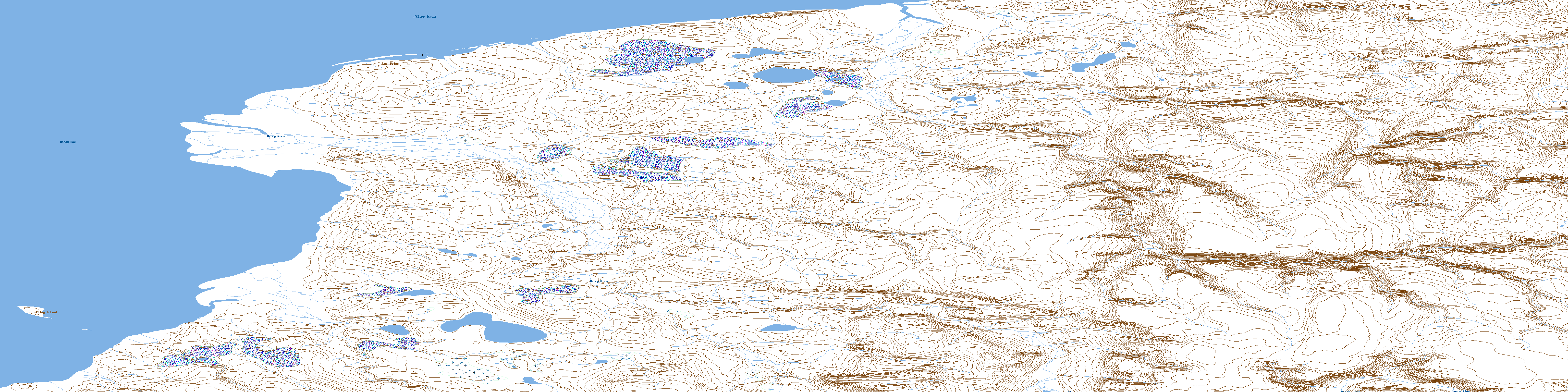
© Department of Natural Resources Canada. All rights reserved.
