Muchalat Inlet Topo Map Online
Download Free Topo Map Sheet 092E09 at 1:50,000 scale
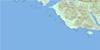
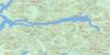
092E09 Muchalat Inlet Topo Map
To view this map, mouse over the map preview on the right.
You can also download this topo map for free:
092E09 Muchalat Inlet high-resolution topo map image.
Maps for the Muchalat Inlet topo map sheet 092E09 at 1:50,000 scale are also available in these versions:
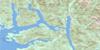
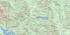
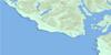
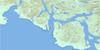
Muchalat Inlet Surrounding Area Topo Maps
 |
 |
 |
|
 |
 |
||
 |
 |
||
 |
© Department of Natural Resources Canada. All rights reserved.
Muchalat Inlet Gazetteer
The following places can be found on topographic map sheet 092E09 Muchalat Inlet:
Muchalat Inlet Topo Map: Bays
Camp BayGaliano Bay
Hisnit Inlet
Jacklah Bay
Matchlee Bay
Mooyah Bay
Muchalat Arm
Muchalat Inlet
Sydney Inlet
Three Bay Cove
Tlupana Arm
Tlupana Inlet
Valdes Bay
Muchalat Inlet Topo Map: Capes
Anderson PointArgonaut Point
Atrevida Point
Concepcion Point
Descubierta Point
Guaquina Point
Ous Point
Princess Royal Point
Muchalat Inlet Topo Map: Channels
Hanna ChannelKing Passage
Williamson Passage
Zuciarte Channel
Muchalat Inlet Topo Map: Indian Reserves
Ahaminaquus Indian Reserve 12Cheesish Indian Reserve 15
Hleepte Indian Reserve 14
Kishnacous Indian Reserve 29
Matchlee Indian Reserve 13
Mooyah Indian Reserve 16
Ous Indian Reserve 17
Réserve indienne Ahaminaquus 12
Réserve indienne Cheesish 15
Réserve indienne Hleepte 14
Réserve indienne Kishnacous 29
Réserve indienne Matchlee 13
Réserve indienne Mooyah 16
Réserve indienne Ous 17
Muchalat Inlet Topo Map: Islands
Bligh IslandGore Island
Île de Vancouver
Vancouver Island
Victor Island
Muchalat Inlet Topo Map: Lakes
Hesquiat LakeIrving Lake
Lillian Lake
Pretty Girl Lake
Star Lake
Muchalat Inlet Topo Map: Mountains
Bury PeakCrumble Mountain
Leading Mountain
Mills Mountains
Mills Peaks
Mount Adair
Mount Albemarle
Mount Albermarle
Mount Crespi
Mount Gore
Mount Powell
Mount Rufus
Mount Seghers
Mount Serjeant
Pierce Range
Sydney Cone
Ucona Mountain
Vancouver Island Ranges
Muchalat Inlet Topo Map: Major municipal/district area - major agglomerations
Regional District of Alberni-ClayoquotRegional District of Comox-Strathcona
Muchalat Inlet Topo Map: Conservation areas
Hesquiat Lake ParkMuchalat Inlet Topo Map: Rivers
Ahaminqas CreekBlack Creek
Burman River
Cascade Creek
Cougar Creek
Deer Creek
Deserted Creek
Escalante River
Flash Creek
Gold River
Houston River
Jacklah River
Kleeptee Creek
Matchlee Creek
McCurdy Creek
Megin River
Mooyah River
Nesook River
Pamela Creek
Quatchka Creek
Satchie Creek
Satchie River
Silverado Creek
Sydney River
Talbot Creek
Ucona River
Wilson Creek
Muchalat Inlet Topo Map: Shoals
Camel RockMuchalat Inlet Topo Map: Unincorporated areas
Mooyah BayMuchalat
Muchalat Inlet Topo Map: Villages
Gold River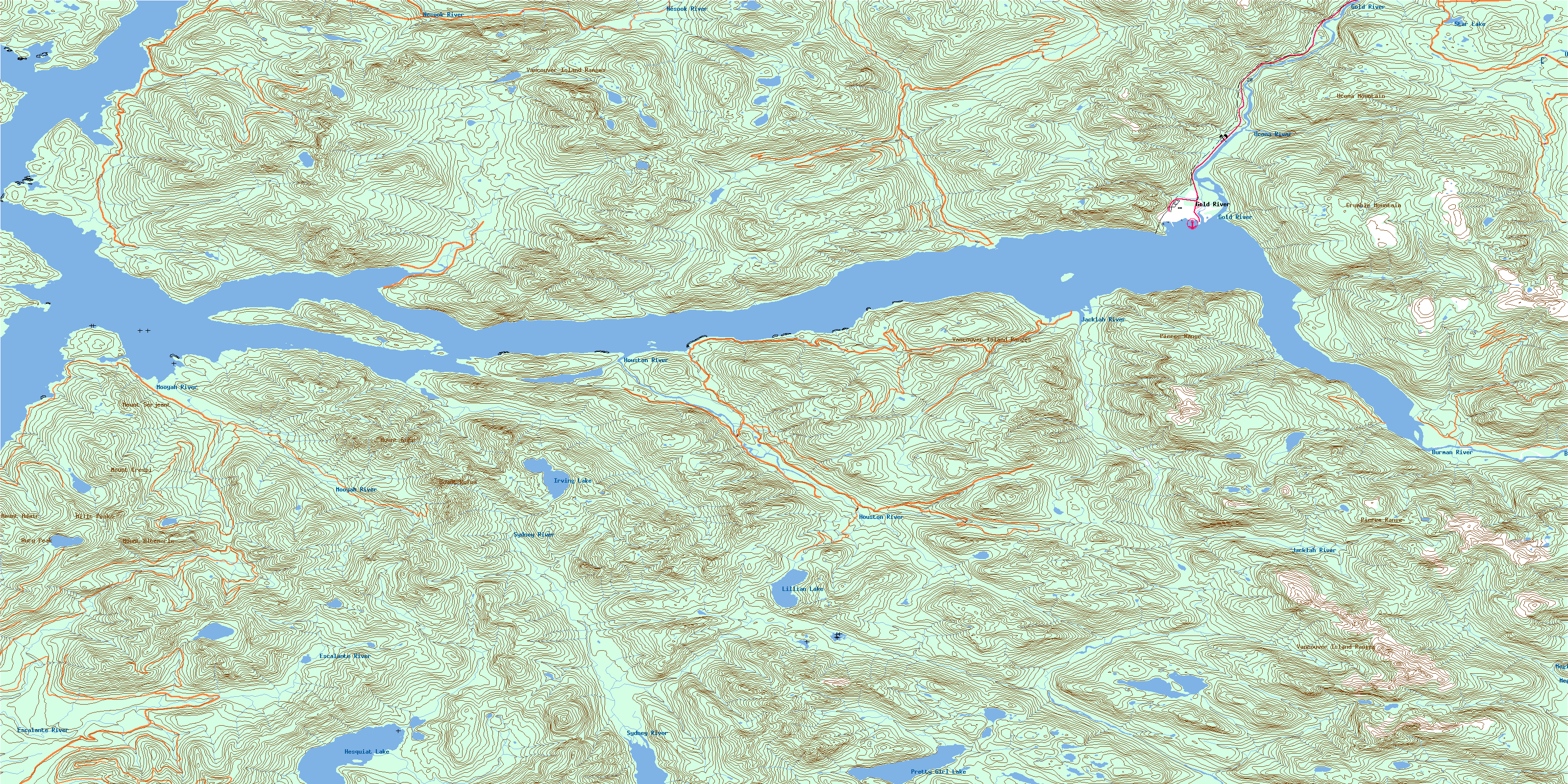
© Department of Natural Resources Canada. All rights reserved.
