Zeballos Topo Map Online
Download Free Topo Map Sheet 092E15 at 1:50,000 scale
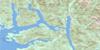
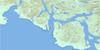
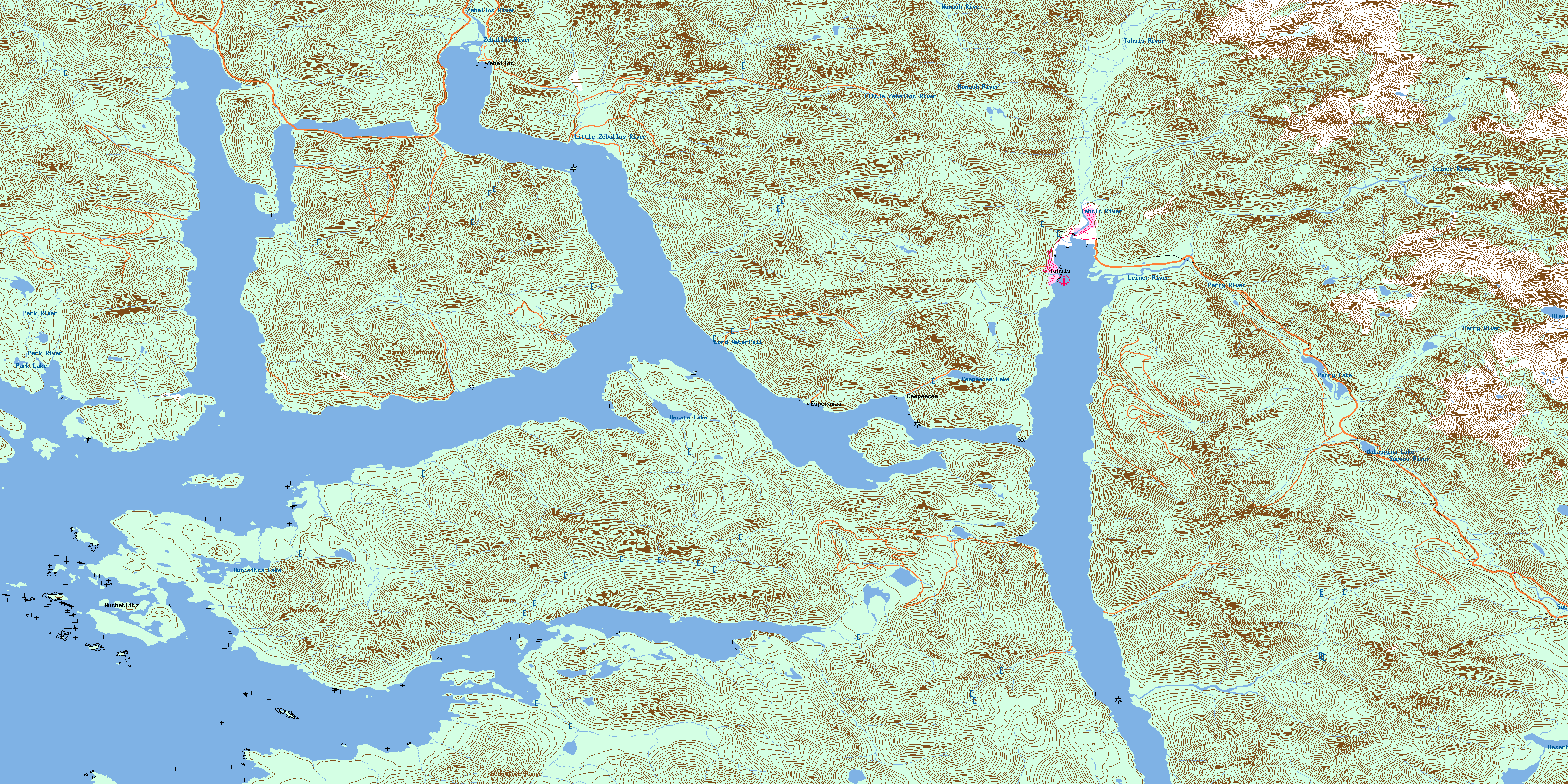
092E15 Zeballos Topo Map
To view this map, mouse over the map preview on the right.
You can also download this topo map for free:
092E15 Zeballos high-resolution topo map image.
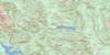
Maps for the Zeballos topo map sheet 092E15 at 1:50,000 scale are also available in these versions:
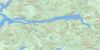
Zeballos Surrounding Area Topo Maps
 |
 |
 |
|
 |
 |
||
 |
 |
||
 |
© Department of Natural Resources Canada. All rights reserved.
Zeballos Gazetteer
The following places can be found on topographic map sheet 092E15 Zeballos:
Zeballos Topo Map: Bays
Blowhole BayEsperanza Inlet
Espinosa Inlet
Graveyard Bay
Haven Cove
Hisnit Inlet
Inner Basin
Little Espinosa Inlet
Louie Bay
Mary Basin
McBride Bay
Newton Cove
Nuchatlitz Inlet
Port Eliza
Port Langford
Queen Cove
Saltery Bay
Tahsis Inlet
Zeballos Inlet
Zeballos Topo Map: Capes
Belmont PointBenson Point
Florence Point
Garden Point
Mozino Point
Saddle Point
Steamer Point
Tongue Point
Zeballos Topo Map: Channels
Birthday ChannelFalse Channel
Hecate Channel
Tahsis Narrows
Tasis Narrows
Tsowwin Narrows
Zeballos Topo Map: Cliffs
Hixson BluffZeballos Topo Map: Falls
Lord WaterfallZeballos Topo Map: Indian Reserves
Ahpukto Indian Reserve 3Chenahkint Indian Reserve 12
Ehatis Indian Reserve 11
Hecate Indian Reserve 17
Hesquis Indian Reserve 10A
Hisnit Indian Reserve 7
Hoke Point Indian Reserve 10B
Klitsis Indian Reserve 16
Nuchatl Indian Reserve 1
Nuchatl Indian Reserve 2
Oclucje Indian Reserve 7
Oke Indian Reserve 10
Opemit Indian Reserve 4
Owossitsa Indian Reserve 6
Réserve indienne Ahpukto 3
Réserve indienne Chenahkint 12
Réserve indienne Ehatis 11
Réserve indienne Hecate 17
Réserve indienne Hesquis 10A
Réserve indienne Hisnit 7
Réserve indienne Hoke Point 10B
Réserve indienne Klitsis 16
Réserve indienne Nuchatl 1
Réserve indienne Nuchatl 2
Réserve indienne Oclucje 7
Réserve indienne Oke 10
Réserve indienne Opemit 4
Réserve indienne Owossitsa 6
Réserve indienne Savey 15
Réserve indienne Shoomart 5
Réserve indienne Sophe 14
Réserve indienne Tahsis 11
Réserve indienne Tsowwin 10
Savey Indian Reserve 15
Shoomart Indian Reserve 5
Sophe Indian Reserve 14
Tahsis Indian Reserve 11
Tsowwin Indian Reserve 10
Zeballos Topo Map: Islands
Bare IslandCentre Island
Cliff Islet
Double Island
Ensanada Islet
Fairway Island
Fitz Island
FlowerIslet
Harbour Island
Île de Vancouver
Lord Island
Narrows Island
Nootka Island
Otter Islands
Rosa Island
Sara Islet
Vancouver Island
Zeballos Topo Map: Lakes
Alava LakeCeepeecee Lake
Deserted Lake
Hecate Lake
Malaspina Lake
Owossitsa Lake
Park Lake
Perry Lake
Zeballos Topo Map: Mountains
Beano MountainGenevieve Mountains
Genevieve Range
Malaspina Peak
Mark Hill
Mount Espinosa
Mount Leiner
Mount McKelvie
Mount Rosa
Needle Peak
Newton Hill
Santiago Mountain
Sophia Range
Tahsis Mountain
Vancouver Island Ranges
Zeballos Topo Map: Major municipal/district area - major agglomerations
Regional District of Comox-StrathconaZeballos Topo Map: Conservation areas
Nuchatlitz ParkWeymer Creek Karst Park
Weymer Creek Park
Zeballos Topo Map: Rivers
Apple CreekBajer Creek
Barr Creek
Bingo Creek
Blowhole Creek
Brodick Creek
Canton Creek
Ciriaco Creek
Cover Creek
Ehatisaht Creek
Espinosa Creek
Ewart Creek
Extravagant Creek
Friend Creek
Golden Gate Creek
Guise Creek
Hoiss Creek
Laurie Creek
Leiner River
Little Zeballos River
Lord Creek
Lutes Creek
Mamat Creek
McIver Creek
McKelvie Creek
Musket Creek
Nomash River
Nuchatlitz Creek
Owassitsa Creek
Owossitsa Creek
Park River
Perry River
Products Creek
Saltery Creek
Santiago Creek
Sucwoa River
Tahsis River
Tsowwin River
Ubedam Creek
Zeballos River
Zeballos Topo Map: Shoals
Cameron RocksChannel Reef
Colwood Rocks
Danger Rock
Frank Rocks
Justice Rock
Nuchatlitz Reef
Obstruction Reef
Pin Rock
South Reef
Zeballos Topo Map: Unincorporated areas
Ahateset VillageBlowhole
Ceepeecee
Ehatisaht
Ehatisaht Village
Esperanza
Hecate
Little Zeballos
Nuchatlitz
Port Tahsis
Queens Cove
Sand Point
Tahsis
Zeballos Topo Map: Villages
TahsisZeballos
© Department of Natural Resources Canada. All rights reserved.
