Punchaw Lake Topo Map Online
Download Free Topo Map Sheet 093G06 at 1:50,000 scale
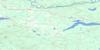
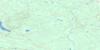
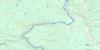
093G06 Punchaw Lake Topo Map
To view this map, mouse over the map preview on the right.
You can also download this topo map for free:
093G06 Punchaw Lake high-resolution topo map image.
Maps for the Punchaw Lake topo map sheet 093G06 at 1:50,000 scale are also available in these versions:
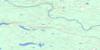
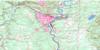
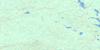
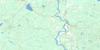
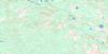
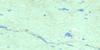
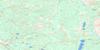
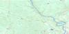
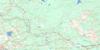
Punchaw Lake Surrounding Area Topo Maps
 |
 |
 |
 |
 |
 |
 |
 |
 |
 |
 |
 |
 |
 |
 |
 |
© Department of Natural Resources Canada. All rights reserved.
Punchaw Lake Gazetteer
The following places can be found on topographic map sheet 093G06 Punchaw Lake:
Punchaw Lake Topo Map: Indian Reserves
Deep Creek Indian Reserve 5Nahlquonate Indian Reserve 2
Réserve indienne Deep Creek 5
Réserve indienne Nahlquonate 2
Punchaw Lake Topo Map: Lakes
Barton LakeBoot Lake
Cleswuncut Lake
Punchaw Lake
Twin Lakes
Walkin Lake
Zippermouth Lake
Punchaw Lake Topo Map: Mountains
Telegraph RangePunchaw Lake Topo Map: Major municipal/district area - major agglomerations
Cariboo Regional DistrictRegional District of Fraser-Fort George
Punchaw Lake Topo Map: Plains
Interior PlateauPunchaw Lake Topo Map: Rivers
Blackburne CreekBonnalie Creek
Chilako River
Pantage Creek
Tako Creek
West Road (Blackwater) River
Wilhelmsen Creek
Punchaw Lake Topo Map: Unincorporated areas
BlackwaterPunchaw
Punchaw Lake Topo Map: Valleys
Fraser Basin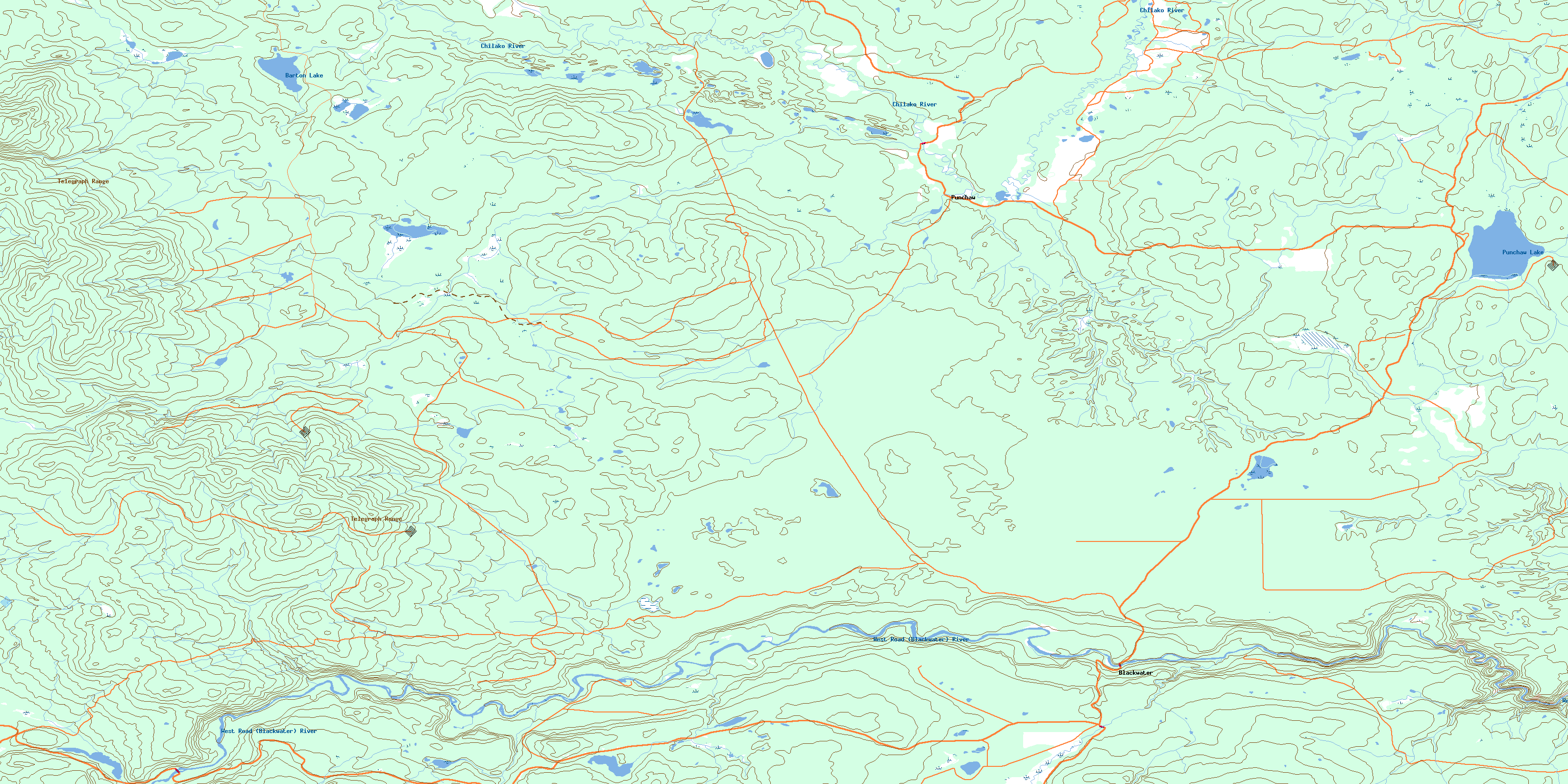
© Department of Natural Resources Canada. All rights reserved.
093G Related Maps:
093G Prince George093G01 Cottonwood
093G02 Cottonwood Canyon
093G03 Pantage Lake
093G04 Coglistiko River
093G05 Pelican Lake
093G06 Punchaw Lake
093G07 Hixon
093G08 Ahbau Lake
093G09 Pitoney Lake
093G10 Red Rock
093G11 Bobtail Mountain
093G12 Chilako River
093G13 Hulatt
093G14 Isle Pierre
093G15 Prince George
093G16E Wansa Creek
093G16W Wansa Creek
