Hulatt Topo Map Online
Download Free Topo Map Sheet 093G13 at 1:50,000 scale
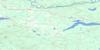
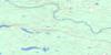
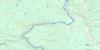
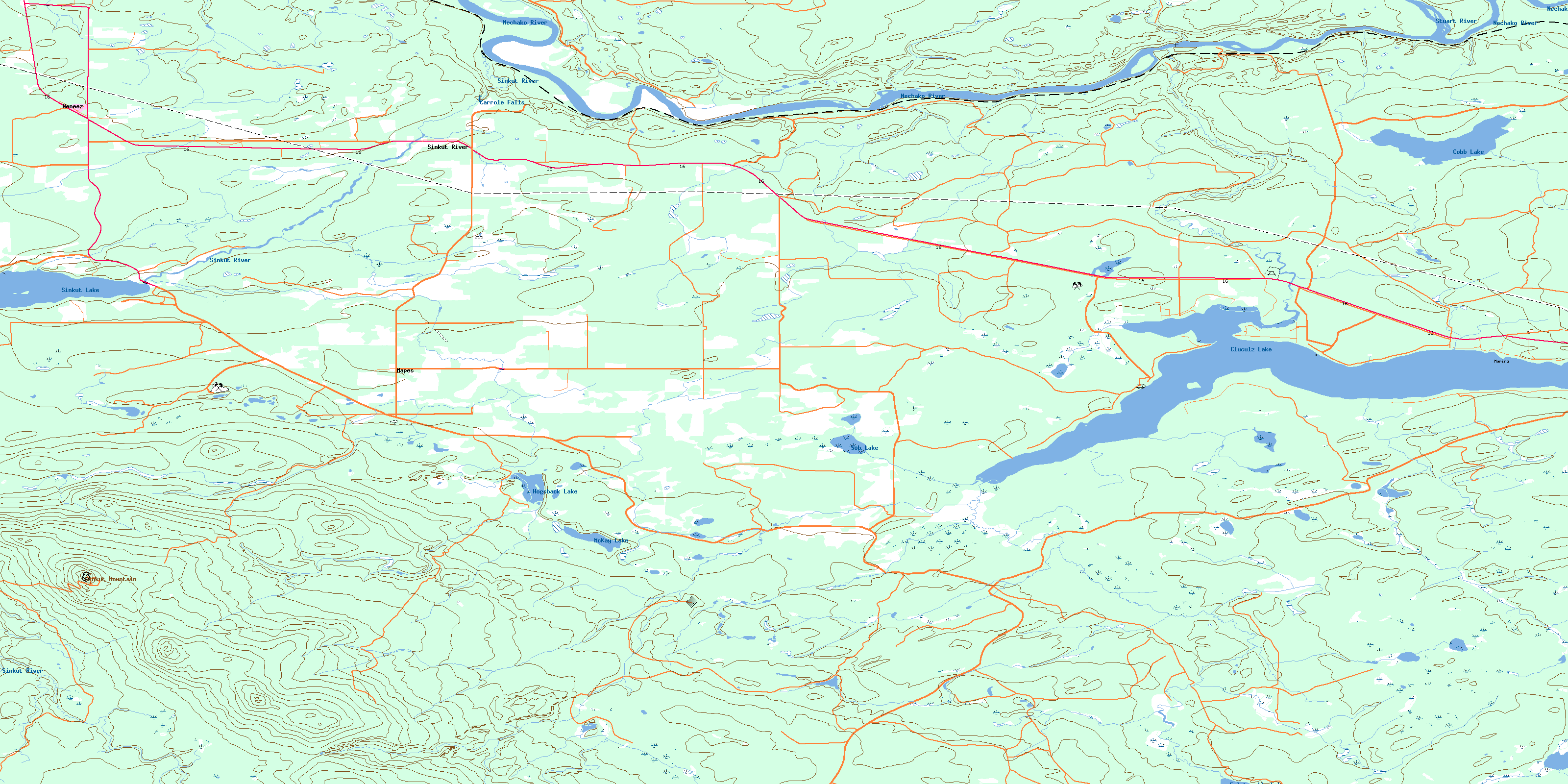
093G13 Hulatt Topo Map
To view this map, mouse over the map preview on the right.
You can also download this topo map for free:
093G13 Hulatt high-resolution topo map image.
Maps for the Hulatt topo map sheet 093G13 at 1:50,000 scale are also available in these versions:
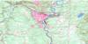
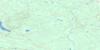
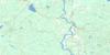
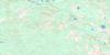
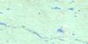
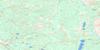
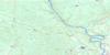
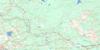
Hulatt Surrounding Area Topo Maps
 |
 |
 |
 |
 |
 |
 |
 |
 |
 |
 |
 |
 |
 |
 |
 |
© Department of Natural Resources Canada. All rights reserved.
Hulatt Gazetteer
The following places can be found on topographic map sheet 093G13 Hulatt:
Hulatt Topo Map: District municipality
VanderhoofHulatt Topo Map: Falls
Carrole FallsHulatt Topo Map: Indian Reserves
Réserve indienne Sinkut Lake 8Sinkut Lake Indian Reserve 8
Hulatt Topo Map: Lakes
Cluculz LakeCobb Lake
Eulatazella Lake
Hogsback Lake
McKay Lake
Sinkut Lake
Sob Lake
Hulatt Topo Map: Mountains
Sinkut MountainHulatt Topo Map: Major municipal/district area - major agglomerations
Regional District of Bulkley-NechakoHulatt Topo Map: Plains
Fraser PlateauInterior Plateau
Nechako Plateau
Hulatt Topo Map: Rivers
Beaverdam CreekChilco Creek
Cluculz Creek
Engstrom Creek
Hogsback Creek
Hulatt Creek
Khai Creek
Kinowsa Creek
Klinsake Creek
Leona Creek
McKay Creek
Nankuz Creek
Nechako River
Neuco Creek
Norman Creek
Puttah Creek
Sinkut Creek
Sinkut River
Sob Creek
Stuart River
Tultsau Creek
Hulatt Topo Map: Unincorporated areas
FinmooreHulatt
Mapes
Sinkut River
Wedgwood
Weneez
© Department of Natural Resources Canada. All rights reserved.
093G Related Maps:
093G Prince George093G01 Cottonwood
093G02 Cottonwood Canyon
093G03 Pantage Lake
093G04 Coglistiko River
093G05 Pelican Lake
093G06 Punchaw Lake
093G07 Hixon
093G08 Ahbau Lake
093G09 Pitoney Lake
093G10 Red Rock
093G11 Bobtail Mountain
093G12 Chilako River
093G13 Hulatt
093G14 Isle Pierre
093G15 Prince George
093G16E Wansa Creek
093G16W Wansa Creek
