Otter Creek Topo Map Online
Download Free Topo Map Sheet 093I05 at 1:50,000 scale
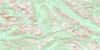
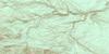
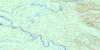
093I05 Otter Creek Topo Map
To view this map, mouse over the map preview on the right.
You can also download this topo map for free:
093I05 Otter Creek high-resolution topo map image.
Maps for the Otter Creek topo map sheet 093I05 at 1:50,000 scale are also available in these versions:
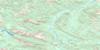
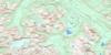
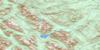
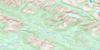
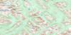
Otter Creek Surrounding Area Topo Maps
 |
 |
 |
 |
 |
 |
 |
 |
 |
 |
 |
 |
 |
 |
 |
 |
© Department of Natural Resources Canada. All rights reserved.
Otter Creek Gazetteer
The following places can be found on topographic map sheet 093I05 Otter Creek:
Otter Creek Topo Map: Indian Reserves
Arctic Lake 10Otter Creek Topo Map: Lakes
Arctic LakeLittle Lake
Otter Lake
Pacific Lake
Portage Lake
Otter Creek Topo Map: Mountains
Copley RangeMisinchinka Ranges
Montagnes Rocheuses
Mount Kenchuse
Rocky Mountains
Three Brothers Mountain
Three Brothers Peaks
Otter Creek Topo Map: Major municipal/district area - major agglomerations
Regional District of Fraser-Fort GeorgeOtter Creek Topo Map: Conservation areas
Arctic Pacific Lakes ParkOtter Creek Topo Map: Plains
McGregor PlateauOtter Creek Topo Map: Rivers
Bad River (James Creek)Captain Creek
Deafy Creek
East Seebach Creek
Horn Creek
McGregor River
Mokus Creek
Otter Creek
Parsnip River
Seebach Creek
Wichcika Creek
Otter Creek Topo Map: Valleys
Rocky Mountain Trench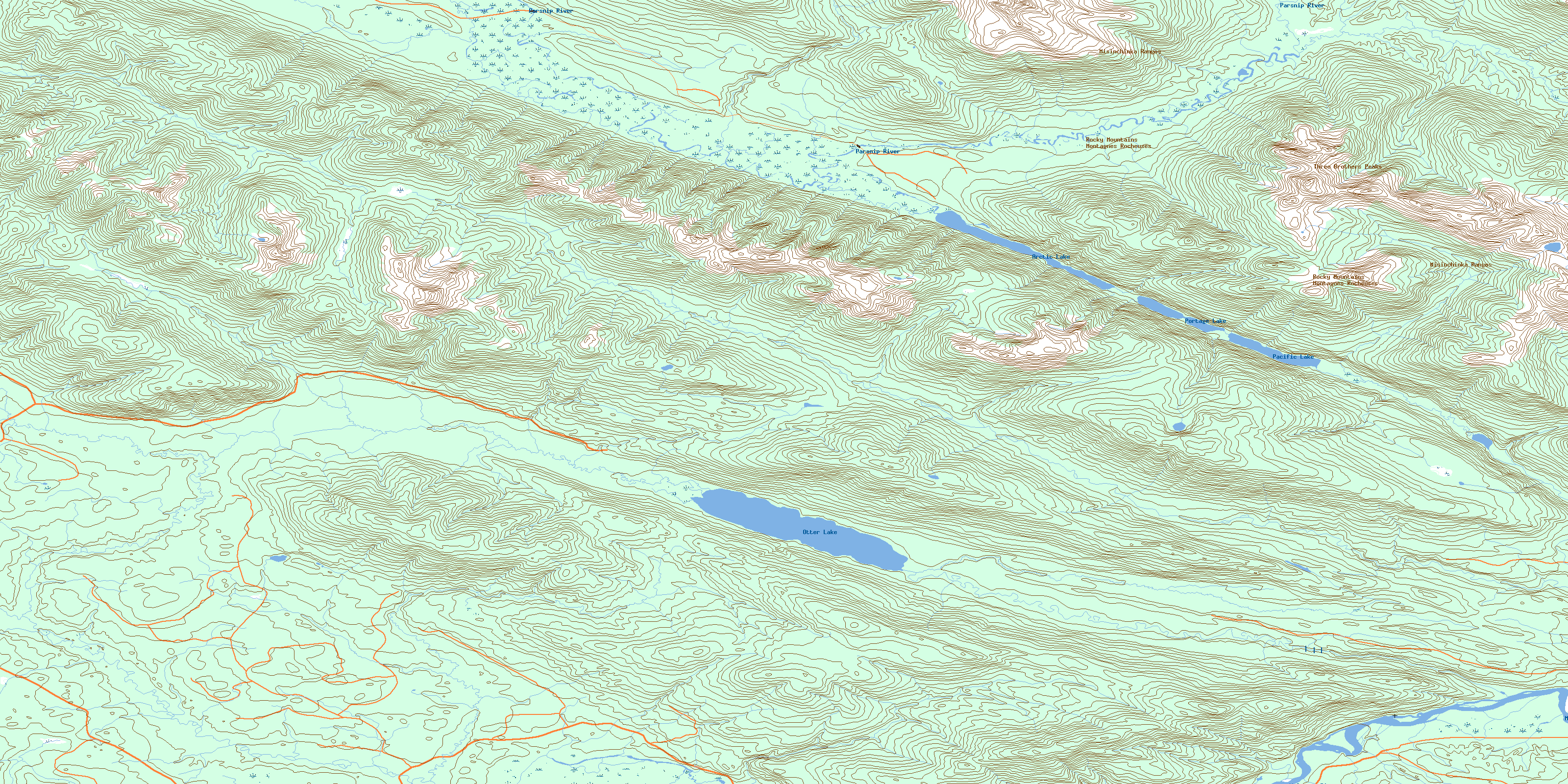
© Department of Natural Resources Canada. All rights reserved.
093I Related Maps:
093I Monkman Pass093I01 Jarvis Lakes
093I02 Ovington Creek
093I03 Gleason Creek
093I04 Sinclair Mills
093I05 Otter Creek
093I06 Spakwaniko Creek
093I07 Wapiti Pass
093I08 Belcourt Lake
093I09 Belcourt Creek
093I10 Wapiti Lake
093I11 Monkman Pass
093I12 Missinka River
093I13 Sentinel Peak
093I14 Kinuseo Falls
093I15 Kinuseo Creek
093I16 South Redwillow River
