Monkman Pass Topo Map Online
Download Free Topo Map Sheet 093I11 at 1:50,000 scale
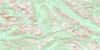
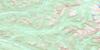
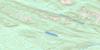
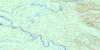
093I11 Monkman Pass Topo Map
To view this map, mouse over the map preview on the right.
You can also download this topo map for free:
093I11 Monkman Pass high-resolution topo map image.
Maps for the Monkman Pass topo map sheet 093I11 at 1:50,000 scale are also available in these versions:
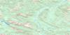
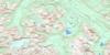
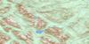
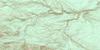
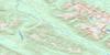
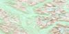
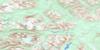
Monkman Pass Surrounding Area Topo Maps
 |
 |
 |
 |
 |
 |
 |
 |
 |
 |
 |
 |
 |
 |
 |
 |
© Department of Natural Resources Canada. All rights reserved.
Monkman Pass Gazetteer
The following places can be found on topographic map sheet 093I11 Monkman Pass:
Monkman Pass Topo Map: Falls
Brooks FallsChambers Falls
Courtipat Falls
Horsetail Falls
McGinnis Falls
Monkman Falls
Moore Falls
Monkman Pass Topo Map: Glaciers
Monkman GlacierParsnip Glacier
Vreeland Glacier
Monkman Pass Topo Map: Lakes
Anderson LakeGaines Lake
Holmes Lake
Lower Blue Lake
Lupin Lake
Monkman Lake
Paxton Lake
Upper Blue Lake
Watts Lake
Monkman Pass Topo Map: Mountains
Boone Taylor PeakCastle Mountain
Chambers Ridge
Hart Ranges
Hell's Half Acre
Montagnes Rocheuses
Mount Barton
Mount Cornock
Mount Gauthier
Mount Jim Young
Mount Vreeland
Mount Watts
Paxton Peak
Pioneer Range
Rocky Mountains
The Shark's Fin
Monkman Pass Topo Map: Major municipal/district area - major agglomerations
Peace River Regional DistrictRegional District of Fraser-Fort George
Monkman Pass Topo Map: Conservation areas
Monkman ParkMonkman Pass Topo Map: Rivers
Bulley CreekDevils Creek
Fontoniko Creek
Hominka River
Horsetail Creek
Imperial Creek
Leyland Creek
Missinka River
Monkman Creek
Murray River
Parsnip River
Paxton Creek
Monkman Pass Topo Map: Valleys
Monkman Pass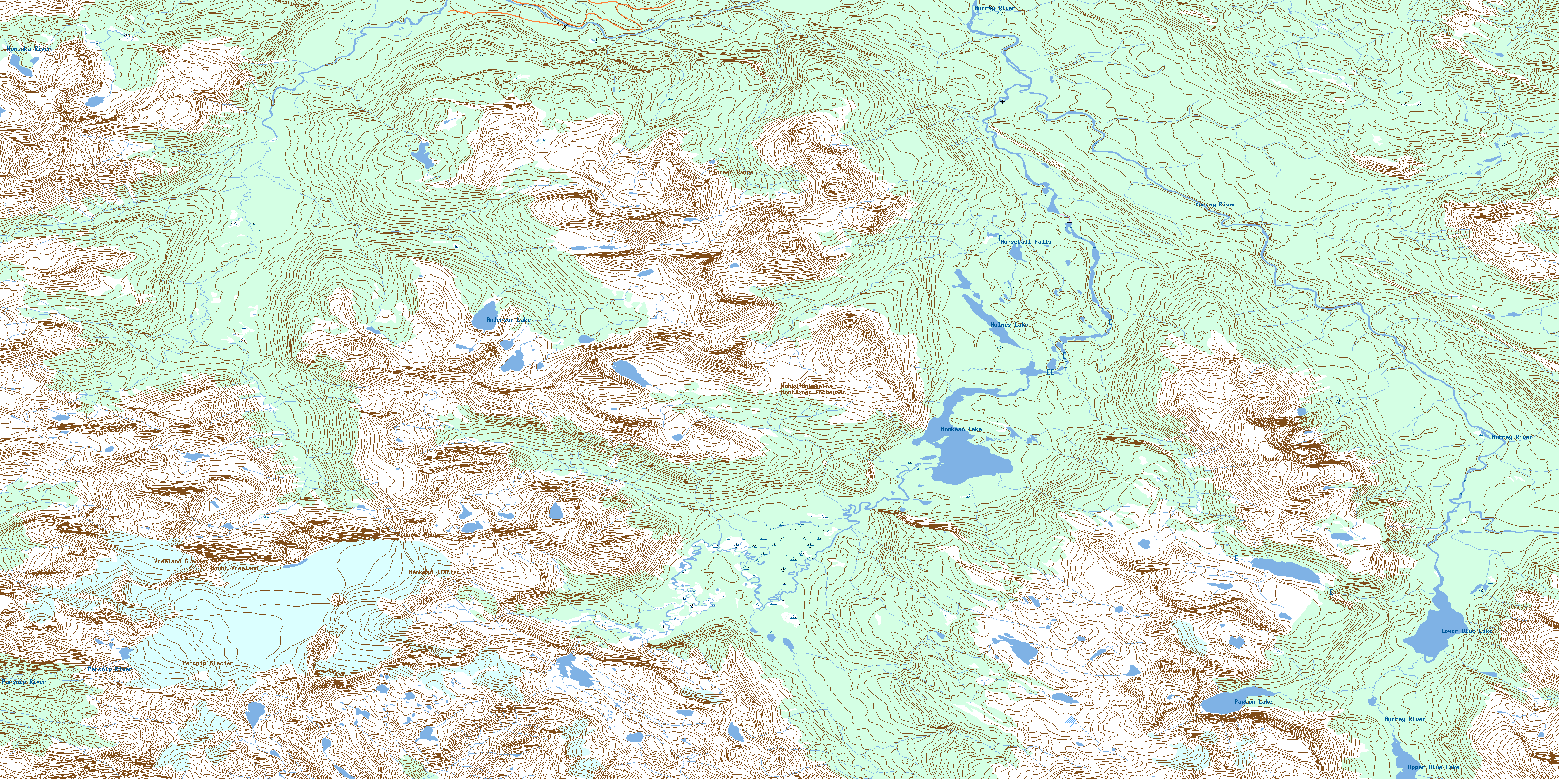
© Department of Natural Resources Canada. All rights reserved.
093I Related Maps:
093I Monkman Pass093I01 Jarvis Lakes
093I02 Ovington Creek
093I03 Gleason Creek
093I04 Sinclair Mills
093I05 Otter Creek
093I06 Spakwaniko Creek
093I07 Wapiti Pass
093I08 Belcourt Lake
093I09 Belcourt Creek
093I10 Wapiti Lake
093I11 Monkman Pass
093I12 Missinka River
093I13 Sentinel Peak
093I14 Kinuseo Falls
093I15 Kinuseo Creek
093I16 South Redwillow River
