Burnie Lake Topo Map Online
Download Free Topo Map Sheet 093L05 at 1:50,000 scale
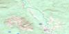
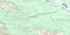
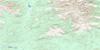
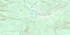
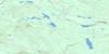
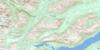
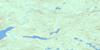
093L05 Burnie Lake Topo Map
To view this map, mouse over the map preview on the right.
You can also download this topo map for free:
093L05 Burnie Lake high-resolution topo map image.
Maps for the Burnie Lake topo map sheet 093L05 at 1:50,000 scale are also available in these versions:
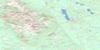
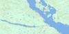
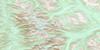
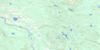
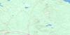
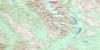
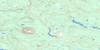
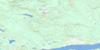
Burnie Lake Surrounding Area Topo Maps
 |
 |
 |
 |
 |
 |
 |
 |
 |
 |
 |
 |
 |
 |
 |
 |
© Department of Natural Resources Canada. All rights reserved.
Burnie Lake Gazetteer
The following places can be found on topographic map sheet 093L05 Burnie Lake:
Burnie Lake Topo Map: Lakes
Burnie LakeBurnie Lakes
Lower Burnie Lake
Sandpiper Lake
Shea Lake
Tom George Lakes
Burnie Lake Topo Map: Mountains
Bulkley RangesCoast Mountains
Eagle Peak
Hazelton Mountains
Howson Peak
Howson Range
Kitimat Ranges
Burnie Lake Topo Map: Major municipal/district area - major agglomerations
Regional District of Bulkley-NechakoRegional District of Kitimat-Stikine
Burnie Lake Topo Map: Plains
Interior PlateauNechako Plateau
Burnie Lake Topo Map: Rivers
Burnie RiverClore River
Elf Creek
Elliot Creek
Elliott Creek
Harvey Creek
Iceflow Creek
Kitnayakwa River
Miners Creek
Nilah Creek
O'Brien Creek
Sandpiper Creek
Scallon Creek
Shea Creek
Starr Creek
Steward Creek
Tatsi Creek
Thomas Creek
Tom Creek
Tom George Creek
Tun Creek
Zymoetz River
Burnie Lake Topo Map: Valleys
Starr Basin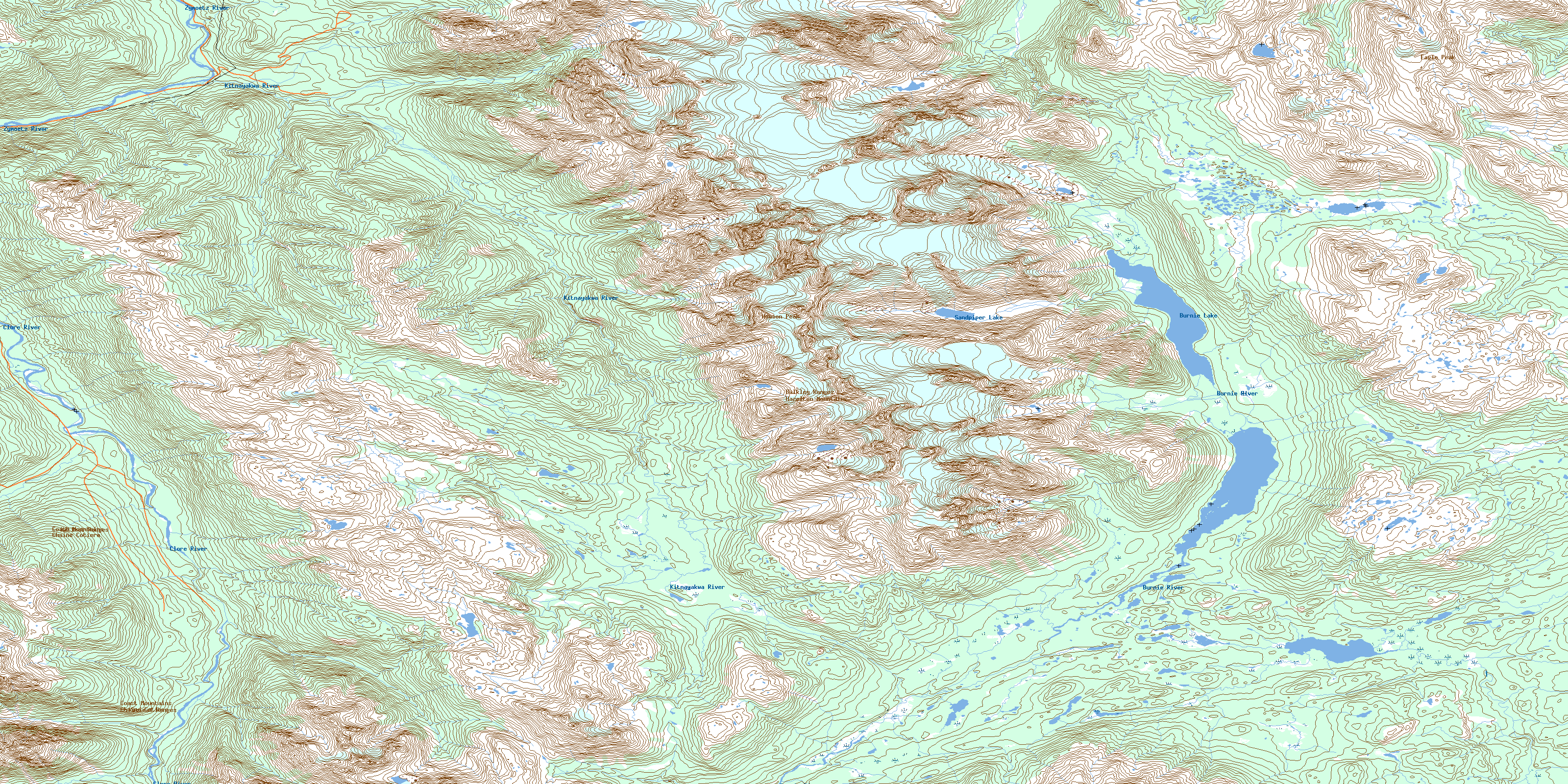
© Department of Natural Resources Canada. All rights reserved.
093L Related Maps:
093L Smithers093L01 Colleymount
093L02 Owen Lake
093L03 Lamprey Creek
093L04 Corona Peak
093L05 Burnie Lake
093L06 Thautil River
093L07 Houston
093L08 Forestdale
093L09 Topley
093L10 Quick
093L11 Telkwa
093L12 Milk Creek
093L13 Mcdonell Lake
093L14 Smithers
093L15 Driftwood Creek
093L16 Fulton Lake
