Topley Topo Map Online
Download Free Topo Map Sheet 093L09 at 1:50,000 scale
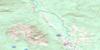
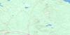
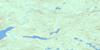
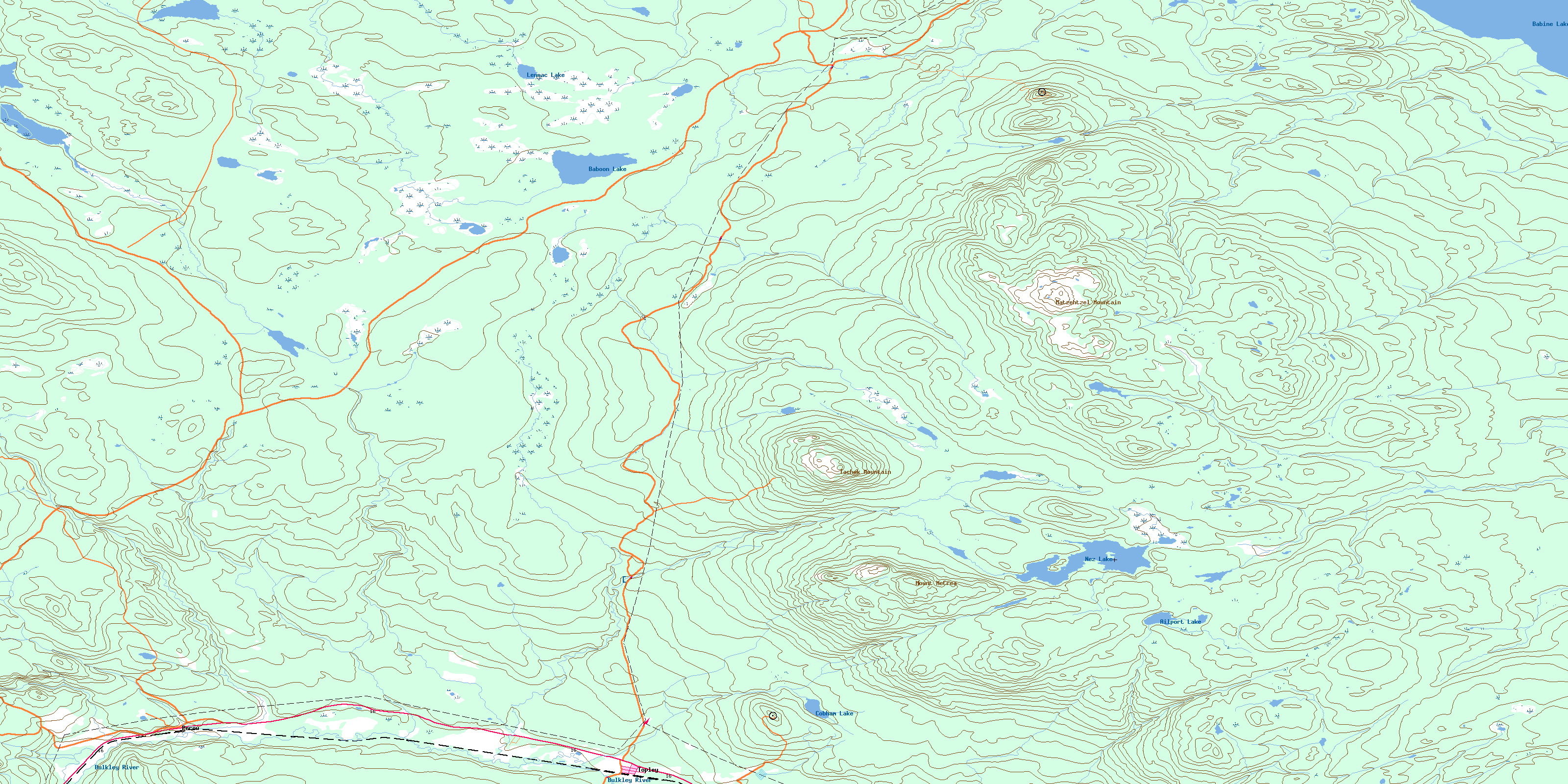
093L09 Topley Topo Map
To view this map, mouse over the map preview on the right.
You can also download this topo map for free:
093L09 Topley high-resolution topo map image.
Maps for the Topley topo map sheet 093L09 at 1:50,000 scale are also available in these versions:
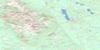
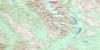
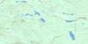
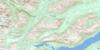
Topley Surrounding Area Topo Maps
 |
 |
 |
 |
 |
 |
 |
 |
 |
 |
 |
 |
 |
 |
 |
 |
© Department of Natural Resources Canada. All rights reserved.
Topley Gazetteer
The following places can be found on topographic map sheet 093L09 Topley:
Topley Topo Map: Capes
Lunch PointTopley Topo Map: Lakes
Ailport LakeBabine Lake
Baboon Lake
Cesford Lake
Cobham Lake
Findlay Lake
Lennac Lake
Nez Lake
Topley Topo Map: Mountains
Cesford HillMatzehtzel Mountain
Mount McCrea
Tachek Mountain
Topley Topo Map: Major municipal/district area - major agglomerations
Regional District of Bulkley-NechakoTopley Topo Map: Plains
Interior PlateauNechako Plateau
Topley Topo Map: Rivers
Ailport CreekBulkley River
Byman Creek
Cesford Creek
Covington Creek
Deasy Creek
Holmes Creek
Johnny David Creek
Johnnydavid Creek
McCrea Creek
McQuarrie Creek
North Ailport Creek
Perow Creek
Pierre Creek
Redtop Creek
Richfield Creek
Robert Hatch Creek
Strimboldh Creek
Tachek Creek
Twain Creek
Watson Creek
Topley Topo Map: Unincorporated areas
PerowTopley
Wiley
© Department of Natural Resources Canada. All rights reserved.
093L Related Maps:
093L Smithers093L01 Colleymount
093L02 Owen Lake
093L03 Lamprey Creek
093L04 Corona Peak
093L05 Burnie Lake
093L06 Thautil River
093L07 Houston
093L08 Forestdale
093L09 Topley
093L10 Quick
093L11 Telkwa
093L12 Milk Creek
093L13 Mcdonell Lake
093L14 Smithers
093L15 Driftwood Creek
093L16 Fulton Lake
