Pouce Coupe Topo Map Online
Download Free Topo Map Sheet 093P09 at 1:50,000 scale
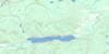
093P09 Pouce Coupe Topo Map
To view this map, mouse over the map preview on the right.
You can also download this topo map for free:
093P09 Pouce Coupe high-resolution topo map image.
Maps for the Pouce Coupe topo map sheet 093P09 at 1:50,000 scale are also available in these versions:
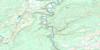
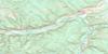
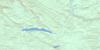
Pouce Coupe Surrounding Area Topo Maps
 |
 |
 |
 |
 |
 |
 |
 |
 |
 |
 |
 |
 |
 |
 |
 |
© Department of Natural Resources Canada. All rights reserved.
Pouce Coupe Gazetteer
The following places can be found on topographic map sheet 093P09 Pouce Coupe:
Pouce Coupe Topo Map: Lakes
Alcock LakeKlukas Lake
McWaters Lake
Swan Lake
Toms Lake
Pouce Coupe Topo Map: Mountains
Bear MountainPouce Coupe Topo Map: Major municipal/district area - major agglomerations
Peace River Regional DistrictPouce Coupe Topo Map: Conservation areas
Sudeten ParkSwan Lake Park
Pouce Coupe Topo Map: Provinces
AlbertaBritish Columbia
Colombie-Britannique
Pouce Coupe Topo Map: Rivers
Bissette CreekBrassey Creek
Dawson Creek
Frondizi Creek
Kiskatinaw River
Klukas Creek
Little Brassy Creek
Little Tupper Creek
Pouce Coupé River
Reamer Creek
Reed Creek
Ski Hill Creek
South Dawson Creek
Tate Creek
Toms Creek
Tupper Creek
Tupper River
Pouce Coupe Topo Map: Unincorporated areas
GundySouth Dawson
Tomslake
Tupper
Upper Cutbank
Pouce Coupe Topo Map: Villages
Pouce Coupe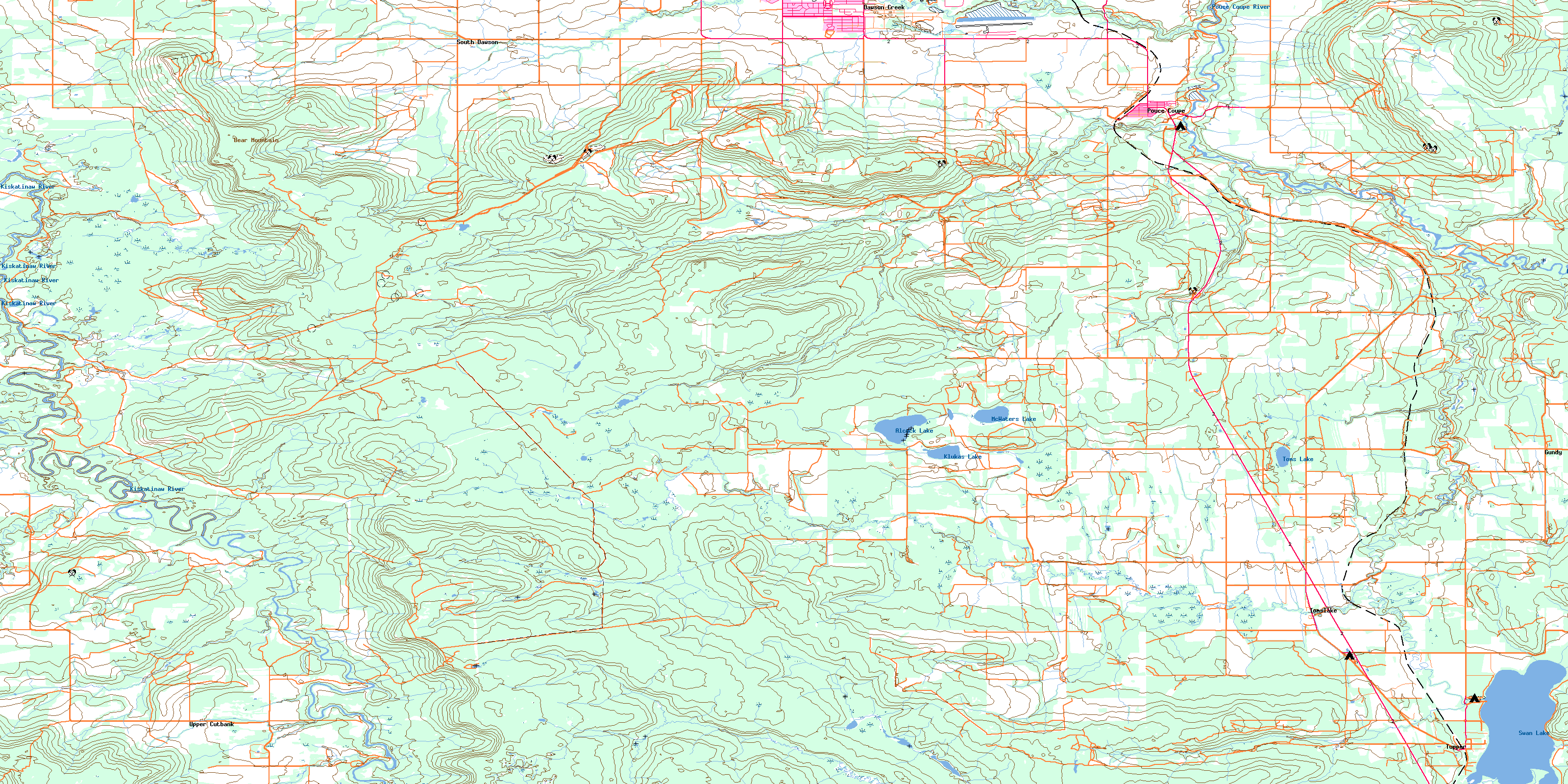
© Department of Natural Resources Canada. All rights reserved.
093P Related Maps:
093P Dawson Creek093P01 Blackhawk Lake
093P02 Tumbler Ridge
093P03 Bullmoose Creek
093P04 Sukunka River
093P05 Burnt River
093P06 Gwillim Lake
093P07 Sundown Creek
093P08 Tupper Creek
093P09 Pouce Coupe
093P10 Arras
093P11 East Pine
093P12 Commotion Creek
093P13 Moberly Lake
093P14 Favels Creek
093P15 Sunset Prairie
093P16 Dawson Creek
