East Pine Topo Map Online
Download Free Topo Map Sheet 093P11 at 1:50,000 scale
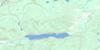
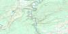
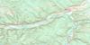
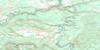
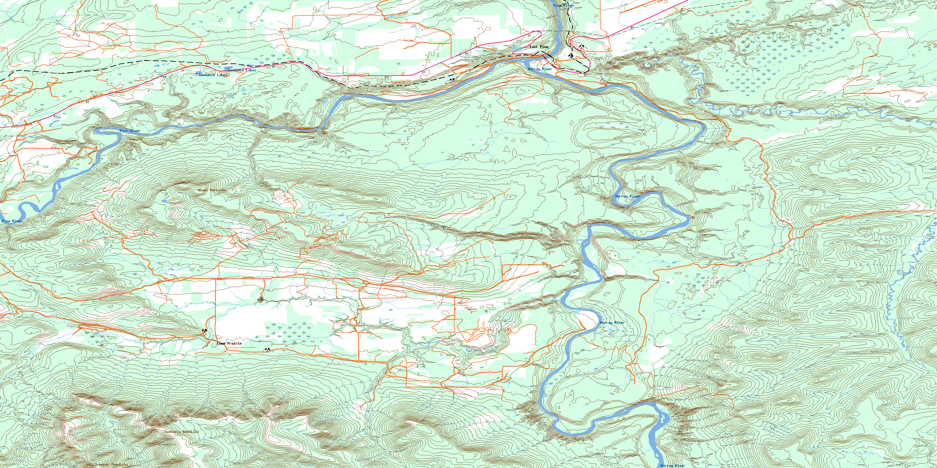
093P11 East Pine Topo Map
To view this map, mouse over the map preview on the right.
You can also download this topo map for free:
093P11 East Pine high-resolution topo map image.
Maps for the East Pine topo map sheet 093P11 at 1:50,000 scale are also available in these versions:
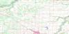
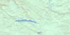
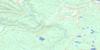
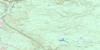
East Pine Surrounding Area Topo Maps
 |
 |
 |
 |
 |
 |
 |
 |
 |
 |
 |
 |
 |
 |
 |
 |
© Department of Natural Resources Canada. All rights reserved.
East Pine Gazetteer
The following places can be found on topographic map sheet 093P11 East Pine:
East Pine Topo Map: Lakes
Sundance LakesEast Pine Topo Map: Mountains
Elephant RidgeMount Wartenbe
Nini Hill
Noetai Hill
Nunki Hill
Rocky Mountain Foothills
Sandy Hill
Trapper Mountain
Tuskoola Mountain
Wartenbe Mountain
East Pine Topo Map: Major municipal/district area - major agglomerations
Peace River Regional DistrictEast Pine Topo Map: Conservation areas
East Pine ParkPine River Breaks Park
East Pine Topo Map: Rivers
Coldstream CreekCowie Creek
Dickebusch Creek
Durney Creek
Jezebel Creek
Lone Prairie Creek
Murray River
Pine River
Rice Creek
Sheep Creek
Stanley Creek
Wabi Creek
Wallace Creek
Wartenbe Creek
East Pine Topo Map: Unincorporated areas
East PineLone Prairie
Sundance
Wabi
© Department of Natural Resources Canada. All rights reserved.
093P Related Maps:
093P Dawson Creek093P01 Blackhawk Lake
093P02 Tumbler Ridge
093P03 Bullmoose Creek
093P04 Sukunka River
093P05 Burnt River
093P06 Gwillim Lake
093P07 Sundown Creek
093P08 Tupper Creek
093P09 Pouce Coupe
093P10 Arras
093P11 East Pine
093P12 Commotion Creek
093P13 Moberly Lake
093P14 Favels Creek
093P15 Sunset Prairie
093P16 Dawson Creek
