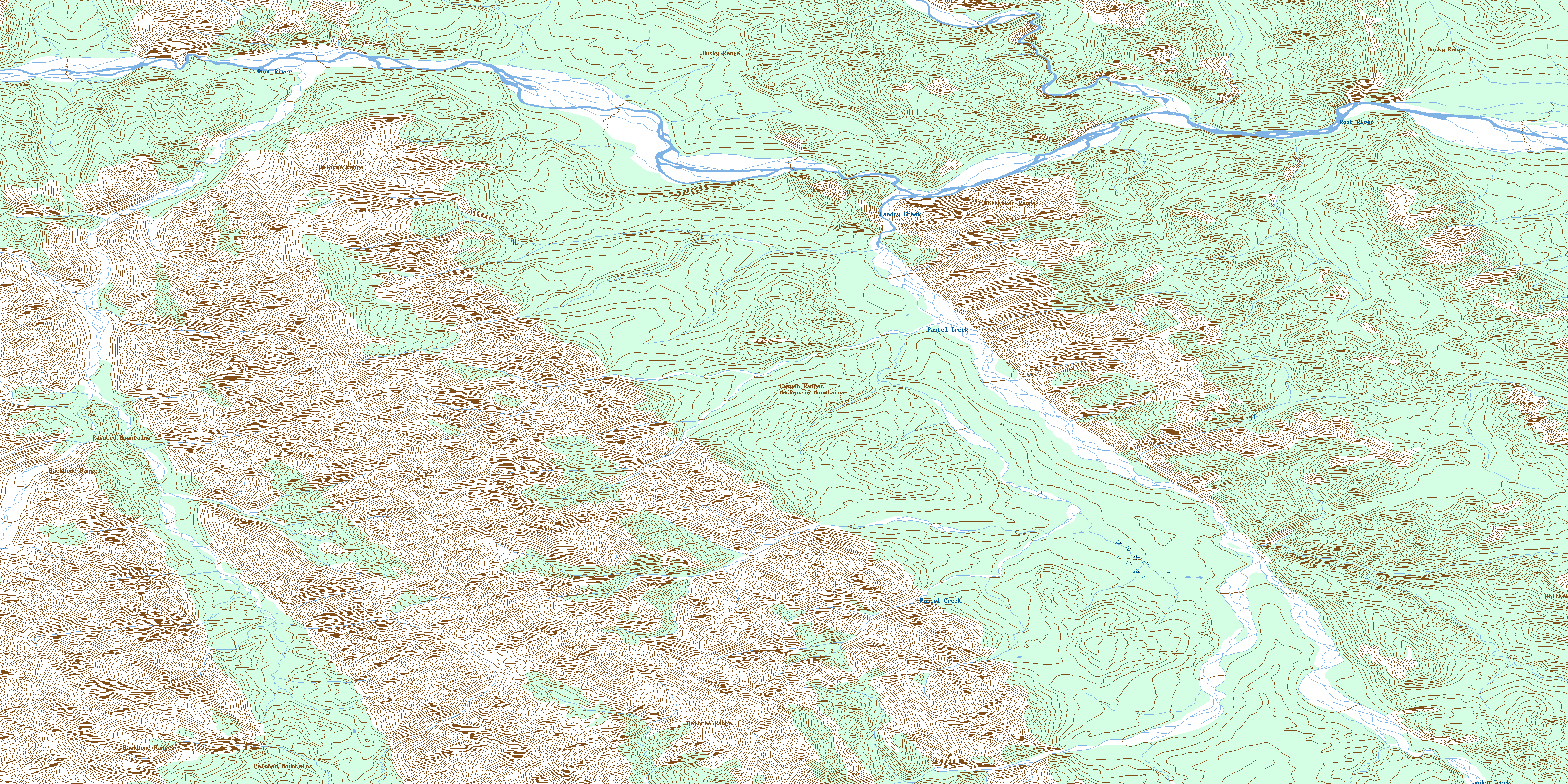
Pastel Creek Topo Map Online
Download Free Topo Map Sheet 095K14 at 1:50,000 scale
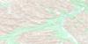
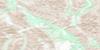
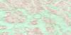
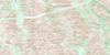
095K14 Pastel Creek Topo Map
To view this map, mouse over the map preview on the right.
You can also download this topo map for free:
095K14 Pastel Creek high-resolution topo map image.
Maps for the Pastel Creek topo map sheet 095K14 at 1:50,000 scale are also available in these versions:
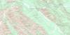
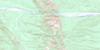
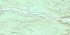
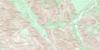
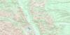
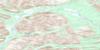
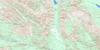
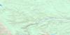
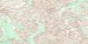
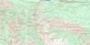
Pastel Creek Surrounding Area Topo Maps
 |
 |
 |
 |
 |
 |
 |
 |
 |
 |
 |
 |
 |
 |
 |
 |
© Department of Natural Resources Canada. All rights reserved.
Pastel Creek Gazetteer
The following places can be found on topographic map sheet 095K14 Pastel Creek:
Pastel Creek Topo Map: Mountains
Backbone RangesCanyon Ranges
Delorme Range
Dusky Range
Mackenzie Mountains
Painted Mountains
Whittaker Range
Pastel Creek Topo Map: Rivers
Landry CreekPastel Creek
Root River
© Department of Natural Resources Canada. All rights reserved.
095K Related Maps:
095K Root River095K01 No Title
095K02 No Title
095K03 No Title
095K04 No Title
095K05 Bell Heather Lake
095K06 No Title
095K07 Dekale Creek
095K08 No Title
095K09 English Chief River
095K10 Trench Creek
095K11 No Title
095K12 No Title
095K13 No Title
095K14 Pastel Creek
095K15 No Title
095K16 No Title
