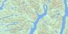
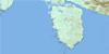
Steele Rock Topo Map Online
Download Free Topo Map Sheet 103A06 at 1:50,000 scale
103A06 Steele Rock Topo Map
To view this map, mouse over the map preview on the right.
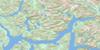
You can also download this topo map for free:
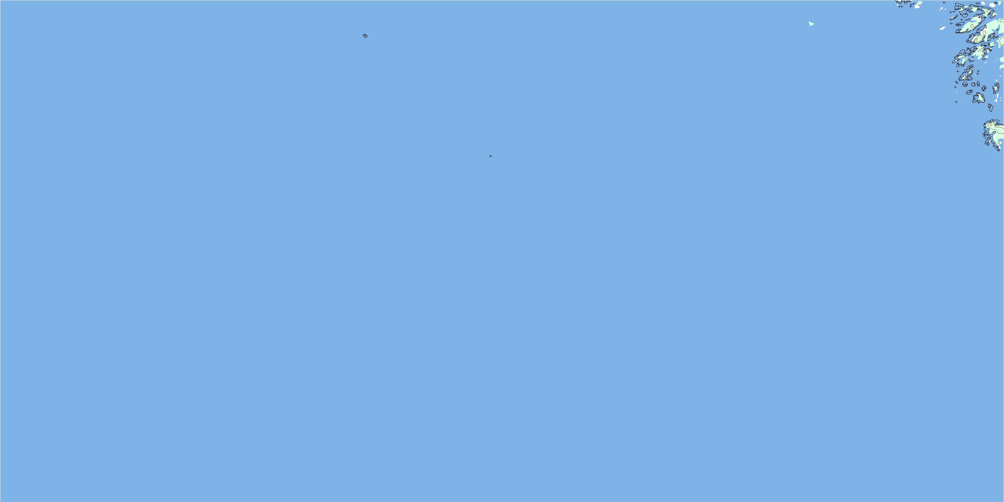
103A06 Steele Rock high-resolution topo map image.
Maps for the Steele Rock topo map sheet 103A06 at 1:50,000 scale are also available in these versions:
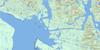
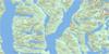
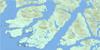
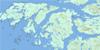
Steele Rock Surrounding Area Topo Maps
 |
 |
 |
 |
 |
 |
 |
|
 |
 |
 |
|
 |
© Department of Natural Resources Canada. All rights reserved.
Steele Rock Gazetteer
The following places can be found on topographic map sheet 103A06 Steele Rock:
Steele Rock Topo Map: Channels
Hecate StraitPrior Passage
Steele Rock Topo Map: Islands
Aristazabal IslandColston Islet
Cummins Islet
Ede Island
Munro Island
Thistleton Islands
Steele Rock Topo Map: Major municipal/district area - major agglomerations
Regional District of Kitimat-StikineSteele Rock Topo Map: Shoals
Frances RockGertrude Rock
Haynes Rocks
Lempriere Bank
Mason Rock
Morey Rock
Muriel Rocks
Murray Rock
Rogerson Rock
Rylatt Rock
Steele Rock
© Department of Natural Resources Canada. All rights reserved.
