Laredo Inlet Topo Map Online
Download Free Topo Map Sheet 103A15 at 1:50,000 scale
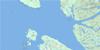
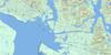
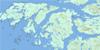
103A15 Laredo Inlet Topo Map
To view this map, mouse over the map preview on the right.
You can also download this topo map for free:
103A15 Laredo Inlet high-resolution topo map image.
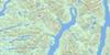
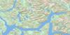
Maps for the Laredo Inlet topo map sheet 103A15 at 1:50,000 scale are also available in these versions:
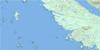
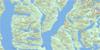
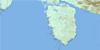
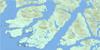
Laredo Inlet Surrounding Area Topo Maps
 |
 |
 |
 |
 |
 |
 |
|
 |
 |
 |
|
 |
© Department of Natural Resources Canada. All rights reserved.
Laredo Inlet Gazetteer
The following places can be found on topographic map sheet 103A15 Laredo Inlet:
Laredo Inlet Topo Map: Bays
Adams BayAlston Cove
Bay of Plenty
Cougar Bay
Fifer Cove
Helmcken Inlet
Kamin Cove
Laredo Inlet
Mellis Inlet
Peen Harbour
Penn Harbour
Surf Inlet
Weld Cove
Laredo Inlet Topo Map: Capes
Adams PointFlat Point
Hook Point
Quarry Point
Sarah Head
Tolmie Point
Tuite Point
Laredo Inlet Topo Map: Channels
Beauchemin ChannelPrincess Royal Channel
Tolmie Channel
Laredo Inlet Topo Map: Indian Reserves
Réserve indienne Saint Joe 10Réserve indienne Ulthakoush 11
Saint Joe Indian Reserve 10
Ulthakoush Indian Reserve 11
Laredo Inlet Topo Map: Islands
Brew IslandCarroll Island
Hewitt Island
Kohl Island
Pocock Island
Princess Royal Island
Sarah Island
Laredo Inlet Topo Map: Lakes
Archie LakeBloomfield Lake
Helmcken Lake
Lomax Lake
Pyne Lake
Laredo Inlet Topo Map: Mountains
Chaîne CôtièreCoast Mountains
Irving Mountain
Kitimat Ranges
Mount Irving
Mount Parry
North Needle Peak
Parry Mountain
Laredo Inlet Topo Map: Major municipal/district area - major agglomerations
Regional District of Kitimat-StikineLaredo Inlet Topo Map: Rivers
Arnoup CreekBuie Creek
Busey Creek
Dally Creek
Goin Creek
Hards Creek
Kamin Creek
Lomax Creek
Nias Creek
Otty Creek
Packe Creek
Peatt Creek
Pyne Creek
Ronald Creek
Tyler Creek
Laredo Inlet Topo Map: River features
Graham ReachLaredo Inlet Topo Map: Shoals
Burr Rock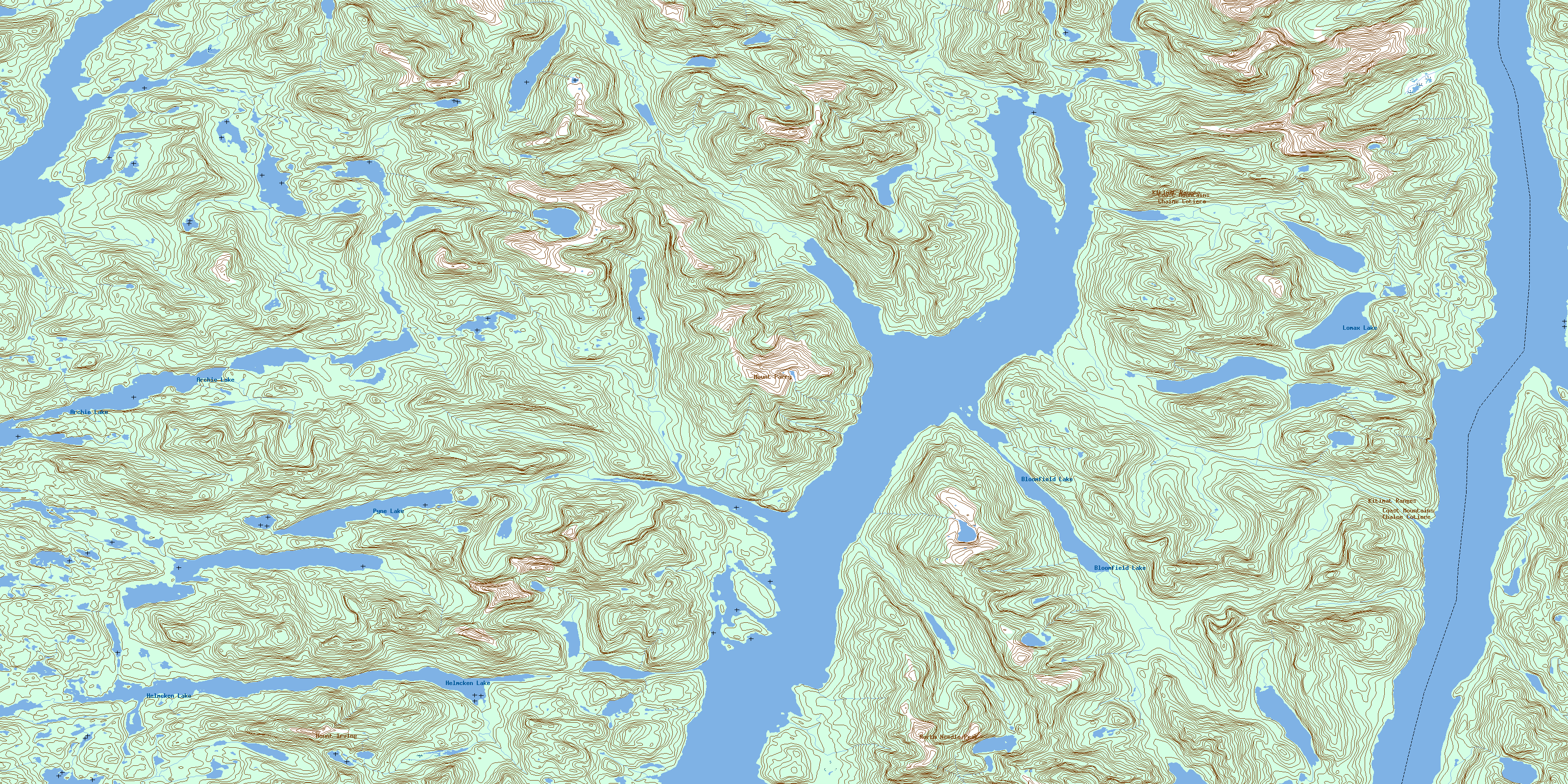
© Department of Natural Resources Canada. All rights reserved.
