Price Island Topo Map Online
Download Free Topo Map Sheet 103A07 at 1:50,000 scale
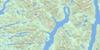
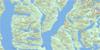
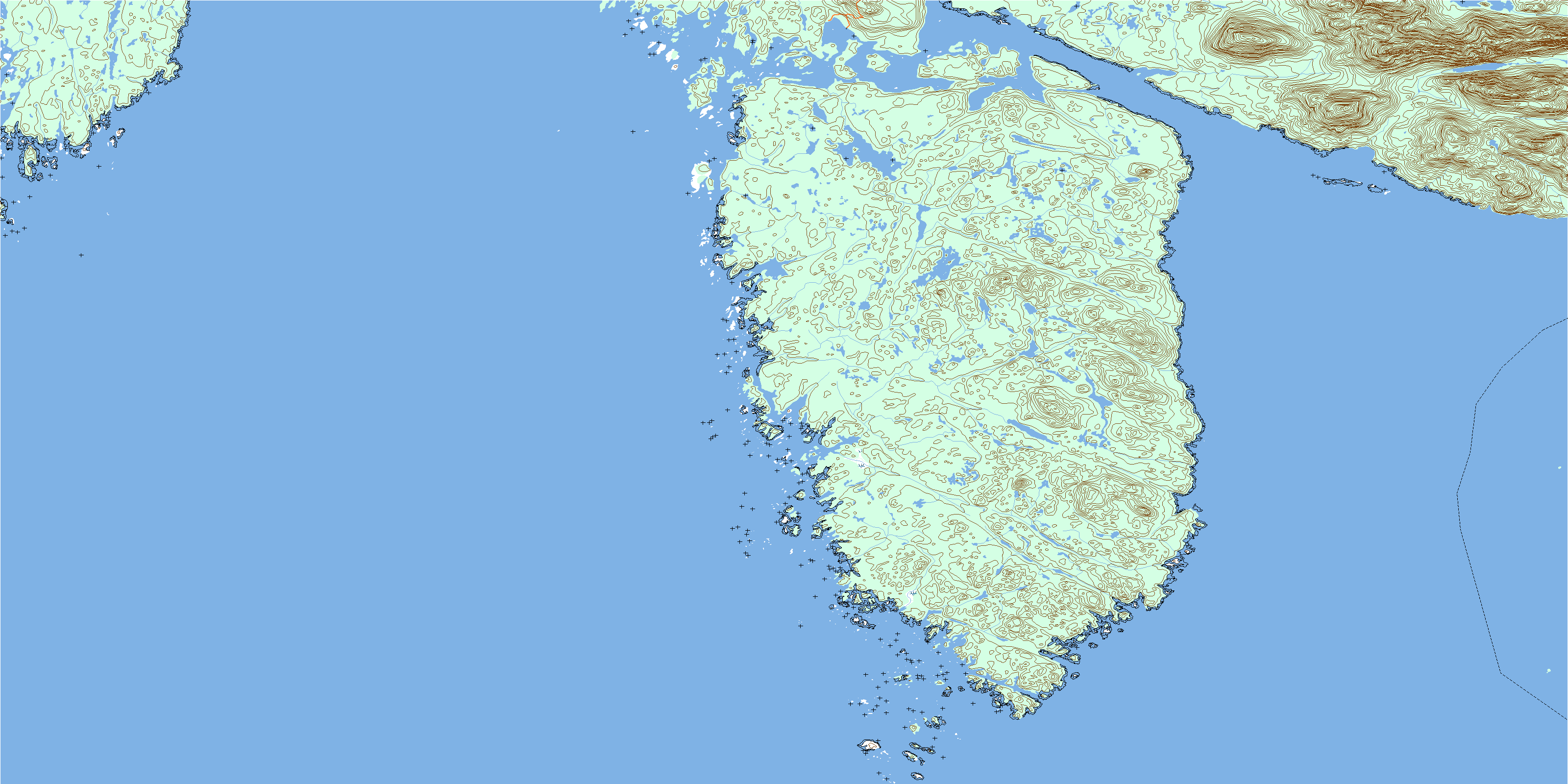
103A07 Price Island Topo Map
To view this map, mouse over the map preview on the right.
You can also download this topo map for free:
103A07 Price Island high-resolution topo map image.
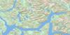
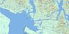
Maps for the Price Island topo map sheet 103A07 at 1:50,000 scale are also available in these versions:
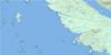
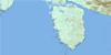
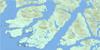
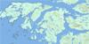
Price Island Surrounding Area Topo Maps
 |
 |
 |
 |
 |
 |
 |
|
 |
 |
 |
|
 |
© Department of Natural Resources Canada. All rights reserved.
Price Island Gazetteer
The following places can be found on topographic map sheet 103A07 Price Island:
Price Island Topo Map: Bays
Grant AnchorageLangford Cove
Muir Cove
Rudolf Bay
Price Island Topo Map: Capes
Aldrich PointDay Point
Lombard Point
Price Island Topo Map: Channels
Catala PassageHiggins Passage
Laredo Sound
Milbanke Sound
Prior Passage
Price Island Topo Map: Indian Reserves
Goo-ewe Indian Reserve 8Réserve indienne Goo-ewe 8
Price Island Topo Map: Islands
Aristazabal IslandBray Island
Day Island
Kipp Islet
Lohbrunner Island
McInnes Island
Munro Island
Price Island
Swindle Island
Price Island Topo Map: Mountains
Jocelyn HillsJocelyn Range
Kitasu Hill
Mount Sarah
Price Island Topo Map: Major municipal/district area - major agglomerations
Regional District of Kitimat-StikinePrice Island Topo Map: Rivers
Lipsett CreekMorley Creek
Price Island Topo Map: Shoals
Ada ShoalJaffrey Rock
Keary Rock
Linn Rock
Luard Shoal
McGregor Bank
Moody Banks
Mould Rock
Nab Rock
Oldham Rock
Pidwell Reef
Pidwell Reefs
Seddall Shoals
Susan Rock
Vancouver Rock
© Department of Natural Resources Canada. All rights reserved.
