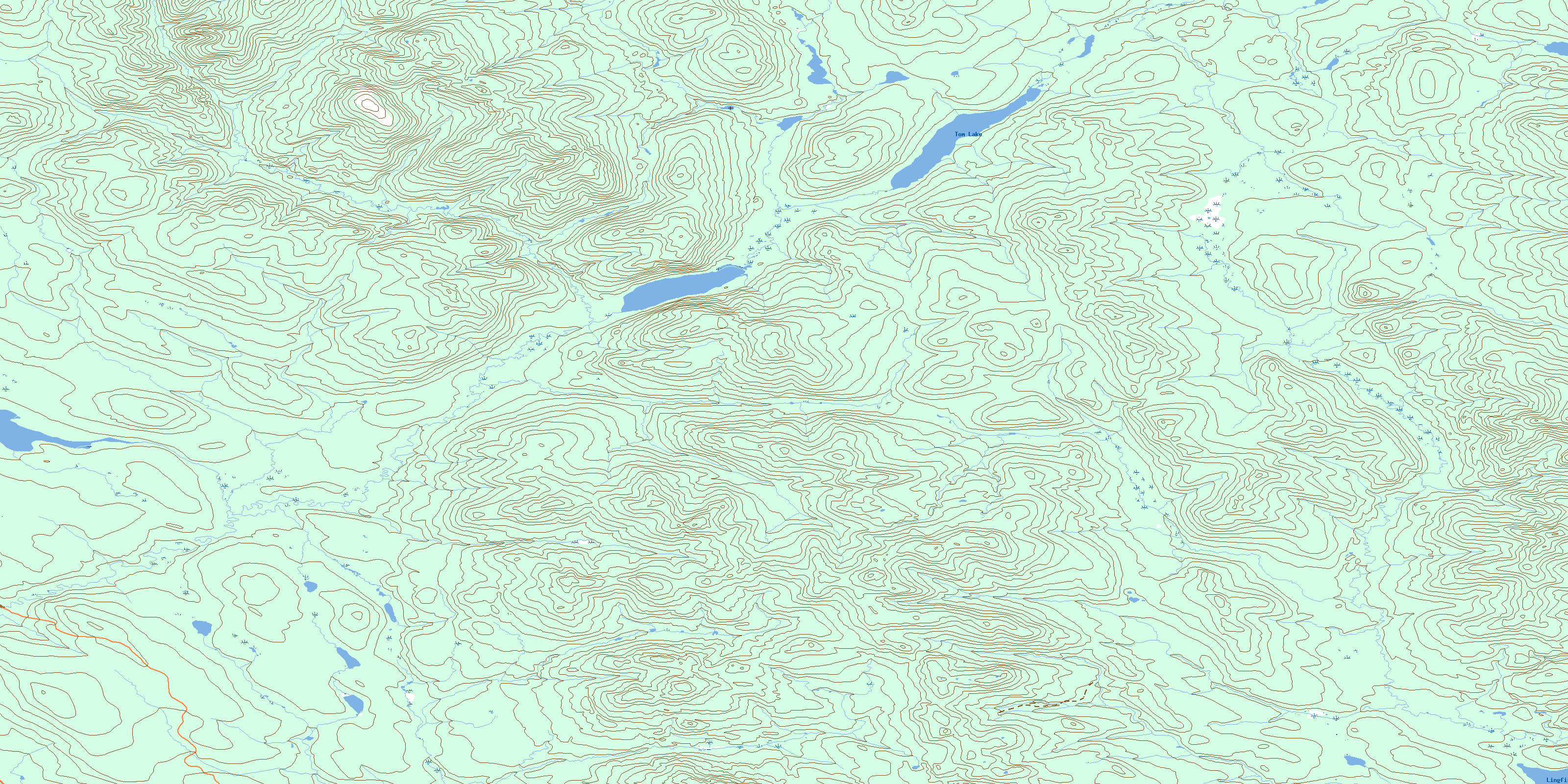
Tom Lake Topo Map Online
Download Free Topo Map Sheet 105A07 at 1:50,000 scale
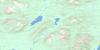
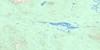
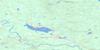
105A07 Tom Lake Topo Map
To view this map, mouse over the map preview on the right.
You can also download this topo map for free:
105A07 Tom Lake high-resolution topo map image.
Maps for the Tom Lake topo map sheet 105A07 at 1:50,000 scale are also available in these versions:
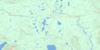
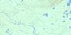
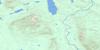
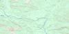
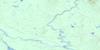
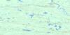
Tom Lake Surrounding Area Topo Maps
 |
 |
 |
 |
 |
 |
 |
 |
 |
 |
 |
 |
 |
 |
 |
 |
© Department of Natural Resources Canada. All rights reserved.
Tom Lake Gazetteer
The following places can be found on topographic map sheet 105A07 Tom Lake:
Tom Lake Topo Map: Lakes
Lingfish LakeLittle Tom Lake
Tom Lake
Tom Lake Topo Map: Rivers
False Canyon CreekStewart Creek
Tom Creek
© Department of Natural Resources Canada. All rights reserved.
105A Related Maps:
105A Watson Lake105A01 Blind Lake
105A02 Watson Lake
105A03 Dodo Lakes
105A04 Allegretto Lake
105A05 False Pass Creek
105A06 Middle Canyon
105A07 Tom Lake
105A08 Sunrise Creek
105A09 Green River
105A10 Stewart Lake
105A11 False Canyon
105A12 Sambo Creek
105A13 Hasselberg Lake
105A14 Upper Canyon
105A15 Mount Murray
105A16 Taffie Creek
