Mount Resistance Topo Map Online
Download Free Topo Map Sheet 105G06 at 1:50,000 scale
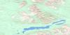
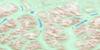
105G06 Mount Resistance Topo Map
To view this map, mouse over the map preview on the right.
You can also download this topo map for free:
105G06 Mount Resistance high-resolution topo map image.
Maps for the Mount Resistance topo map sheet 105G06 at 1:50,000 scale are also available in these versions:
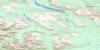
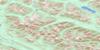
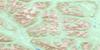
Mount Resistance Surrounding Area Topo Maps
 |
 |
 |
 |
 |
 |
 |
 |
 |
 |
 |
 |
 |
 |
 |
 |
© Department of Natural Resources Canada. All rights reserved.
Mount Resistance Gazetteer
The following places can be found on topographic map sheet 105G06 Mount Resistance:
Mount Resistance Topo Map: Lakes
Grass LakesHalf Moon Lake
Mount Resistance Topo Map: Mountains
Mount ResistanceMount Vermilion
Pelly Mountains
St. Cyr Range
Walking Stick Mountain
Mount Resistance Topo Map: Rivers
Hoole RiverIngs River
Lonely Creek
North River
Mount Resistance Topo Map: Valleys
Tintina Trench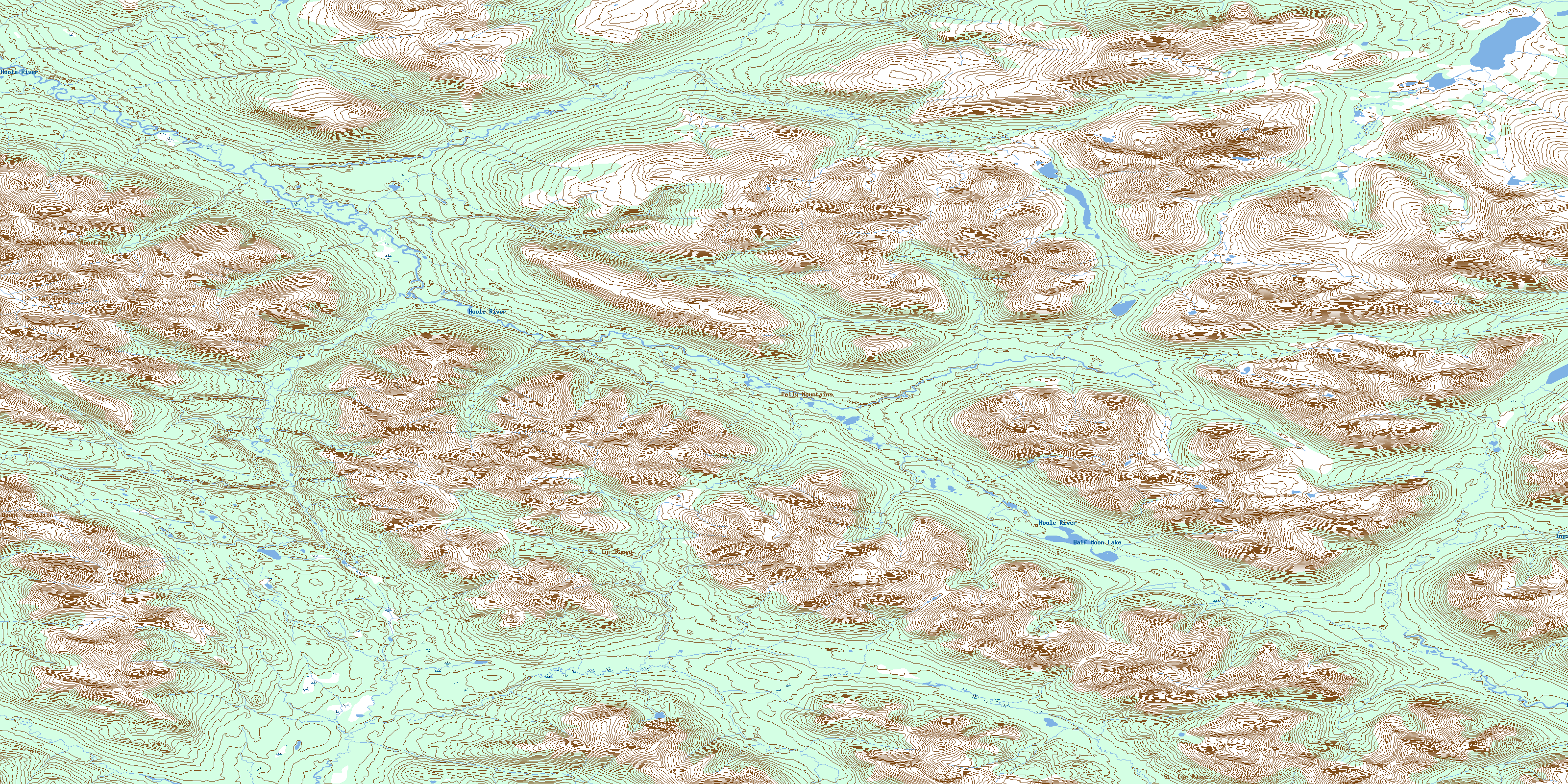
© Department of Natural Resources Canada. All rights reserved.
105G Related Maps:
105G Finlayson Lake105G01 Waters Creek
105G02 Fire Lake
105G03 Junkers Lake
105G04 Prospect Creek
105G05 Mount Placid
105G06 Mount Resistance
105G07 Grass Lakes
105G08 Wolverine Lake
105G09 Mcevoy Creek
105G10 Big Campbell Creek
105G11 Mink Creek
105G12 Starr Creek
105G13 Weasel Lake
105G14 No Title
105G15 Fortin Creek
105G16 Mc Evoy Lake
