Jones Lake Topo Map Online
Download Free Topo Map Sheet 105I14 at 1:50,000 scale
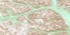
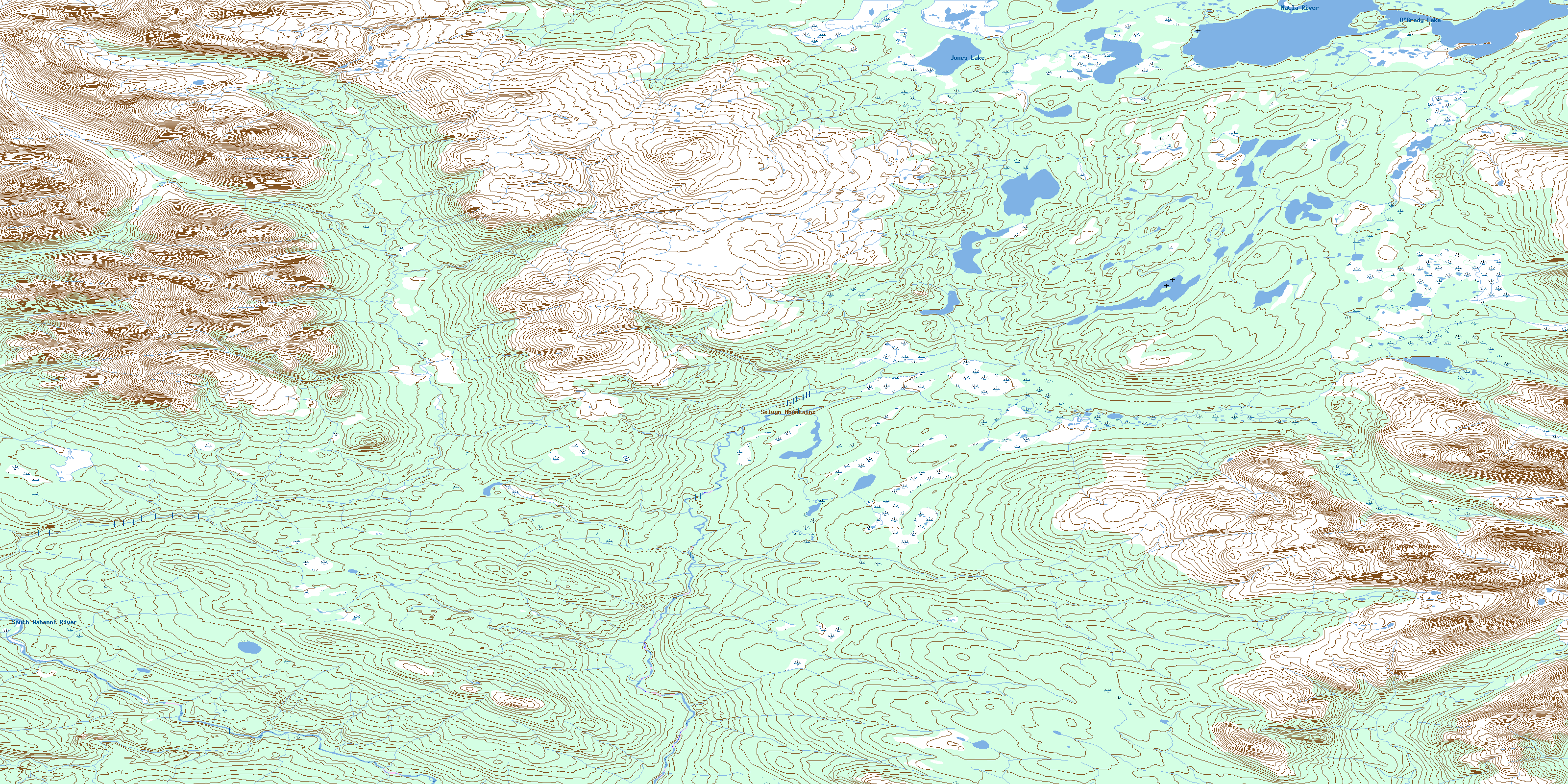
105I14 Jones Lake Topo Map
To view this map, mouse over the map preview on the right.
You can also download this topo map for free:
105I14 Jones Lake high-resolution topo map image.
Maps for the Jones Lake topo map sheet 105I14 at 1:50,000 scale are also available in these versions:
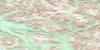
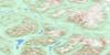
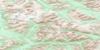
Jones Lake Surrounding Area Topo Maps
 |
 |
 |
 |
 |
 |
 |
 |
 |
 |
 |
 |
 |
 |
 |
 |
© Department of Natural Resources Canada. All rights reserved.
Jones Lake Gazetteer
The following places can be found on topographic map sheet 105I14 Jones Lake:
Jones Lake Topo Map: Lakes
Jones LakeO'Grady Lake
Jones Lake Topo Map: Mountains
Logan MountainsLogan Mountains
Sapper Ranges
Selwyn Mountains
Selwyn Mountains
Jones Lake Topo Map: Rivers
Natla RiverSouth Nahanni River
Jones Lake Topo Map: Territory
Northwest TerritoriesTerritoires du Nord-Ouest
© Department of Natural Resources Canada. All rights reserved.
105I Related Maps:
105I Little Nahanni River105I01 Shelf Lake
105I02 Upper Hyland Lake
105I03 Little Owls Mountain
105I04 Mount Pike
105I05 No Title
105I06 Placer Creek
105I07 Dozer Lake
105I08 Mount Appler
105I09 No Title
105I10 No Title
105I11 No Title
105I12 No Title
105I13 Mount Wilson
105I14 Jones Lake
105I15 No Title
105I16 No Title
