Florence Lake Topo Map Online
Download Free Topo Map Sheet 106H01 at 1:50,000 scale
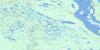
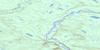
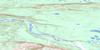
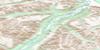
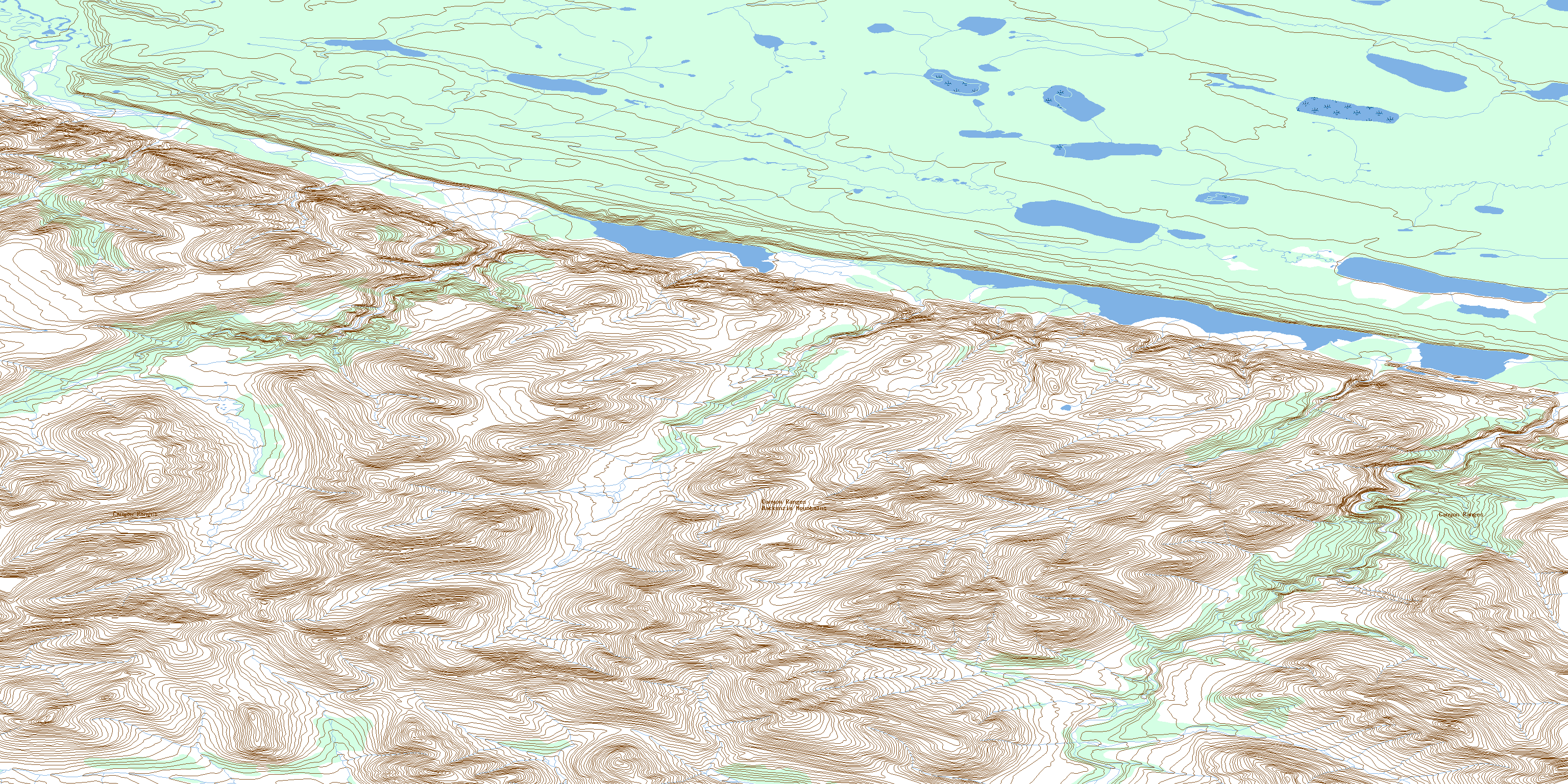
106H01 Florence Lake Topo Map
To view this map, mouse over the map preview on the right.
You can also download this topo map for free:
106H01 Florence Lake high-resolution topo map image.
Maps for the Florence Lake topo map sheet 106H01 at 1:50,000 scale are also available in these versions:
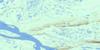
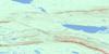
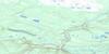
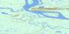
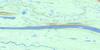
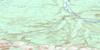
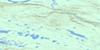
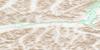
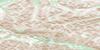
Florence Lake Surrounding Area Topo Maps
 |
 |
 |
 |
 |
 |
 |
 |
 |
 |
 |
 |
 |
 |
 |
 |
© Department of Natural Resources Canada. All rights reserved.
Florence Lake Gazetteer
The following places can be found on topographic map sheet 106H01 Florence Lake:
Florence Lake Topo Map: Lakes
Doris LakeFlorence Lake
Jordan Lake
Florence Lake Topo Map: Mountains
Canyon RangesCarcajou Range
Mackenzie Mountains
Florence Lake Topo Map: Plains
Stony PlateauFlorence Lake Topo Map: Rivers
Brunson CreekFan Creek
Imperial River
Rankin Creek
Undecided Creek
Virgin Creek
Florence Lake Topo Map: Territory
Northwest TerritoriesTerritoires du Nord-Ouest
© Department of Natural Resources Canada. All rights reserved.
106H Related Maps:
106H Sans Sault Rapids106H01 Florence Lake
106H02 Brunson Creek
106H03 No Title
106H04 No Title
106H05 Elbow Creek
106H06 No Title
106H07 Campsite Creek
106H08 Rankin Creek
106H09 Carcajou Ridge
106H10 Sans Sault Rapids
106H11 No Title
106H12 No Title
106H13 No Title
106H14 No Title
106H15 Beavertail
106H16 Chick Lake
